Alberta
Looking for the best photography in Alberta? We've got you covered with the top trails, trips, hiking, backpacking, camping and more around Alberta. The detailed guides, photos, and reviews are all submitted by the Outbound community.
Top Photography Spots in and near Alberta
-
Turner Valley, Alberta
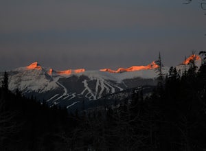
Snowshoe to Midnight Peak
7.5 mi / 3120 ft gainWhen exploring, sometimes the best days are when you bite off a bit more than you can chew and push your limits. On a summer day without a cloud in the sky, Midnight Peak would be challenging, but in winter it's a difficult test to be attempted by the prepared and able.The trail to Midnight Peak ...Read more -
Kananaskis, Alberta
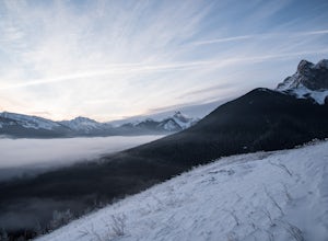
Winter Climb Mount Allan
5.08.7 mi / 4429.1 ft gainMount Allan is a 14 km hike that gains 1400 metres of elevation and was one of my favourite hikes when I first moved to Calgary. On a recent snowshoe, a couple I crossed paths with mentioned they had just done Mount Allan in December, so I knew I had to put it on my winter list!The trail begins a...Read more -
Kananaskis, Alberta
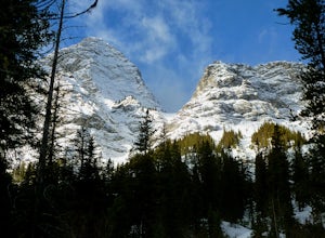
Snowshoe to Old Goat Glacier
6.2 mi / 2296.6 ft gainThe trialhead is found on West Side Road on the west side of Spray Lakes Resevoir. In winter, West Side Road is closed to vehicles due to dogsled tours, but is still open to walking - it's a pretty neat experience to get passed by a dozen sled dog teams. Since the road is closed, it adds an extra...Read more -
Greenview No. 16, Alberta
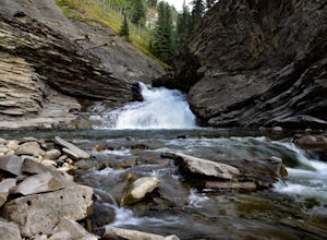
Hike to Muskeg Falls in Grande Cache
5.01.2 mi / -262.5 ft gainDirections: Drive about 17km south of Grande Cache on Highway 40 and turn at the first rest stop on the left hand side of the road. There is one sign attached to a power pole that says Muskeg Falls. The first 500 meters into the trail is an easy walk through the dense alpine forest. It soon comes...Read more -
Kananaskis, Alberta
Scramble Mount Rae
4.0Mount Rae has given me the slip a couple times before, so I opted to take it on solo in the hopes of getting a successful attempt in. Damn, this is a good one.Park at the Highwood Pass parking lot, and start off on the Ptarmigan Cirque Trail. Forested until you get to the cirque, check beforehand...Read more -
Kananaskis, Alberta
Hike Old Baldy Ridge
9.3 mi / 2952.8 ft gainPark at the Evan Thomas parking lot to and the trailhead is in the south of that parking lot. It follows a well-defined trail up for most of the way before you start gaining elevation. When the trail starts heading south, keep an eye out for a small trail that will keep you heading east. This por...Read more -
Kananaskis, Alberta
Hike Spencer Creek
2.5 mi / 1968.5 ft gainSouth of the Driftwood turnoff (approximately 4 km) on Spray/Smith-Dorrien Trail a large creek bed on the east of the road is the beginning of Spencer Creek. The trail is easy enough to find, just have to do a bit of looking.Once on the trail, you'll basically have no trouble at all. The trail it...Read more -
Kananaskis, Alberta
Scramble the Wedge
5 mi / 3444.9 ft gainDrive south on Highway 40 and your adventure begins at Wedge Pond. Parking in the parking lot is easy enough if you're there early enough in the day (before 10:00). The trail up the Wedge starts near the bathrooms, and heads south - not southwest towards the pond. After only a few minutes of walk...Read more -
Jasper, Alberta
Hike to Geraldine Lakes
7.7 mi / 1340 ft gainGeraldine Lakes is one of the more physically demanding half-day/day trails in Jasper National Park. However, this hike rewards you with everything that makes the Canadian Rockies wonderful, with views of pristine lakes, cascading waterfalls, and mountain vistas.The first 1.8km to Lower Geraldine...Read more -
Improvement District No. 9, Alberta
Snowshoe to Rockbound Lake
3.011 mi / 2460 ft gainThis is an amazing trail, but not for the feint of heart!The trailhead is located on the Bow Valley Parkway (Highway 1A) in Banff National Park, AB at the Castle Mountain sign. The trailhead is marked by an information sign in the north of the parking lot and the trail initially heads north - not...Read more -
Kananaskis, Alberta
Explore the Pocaterra Cirque
Start at the Pocaterra/Highwood pass parking lot. The pond is about 1.5km directly west from the parking lot, but the trail head is not always obvious, especially if there is snow. Keep an eye out for the flagging tape that marks the trail. Consider bringing snowshoes in November.This makes for ...Read more -
Clearwater County, Alberta
Photograph Abraham Lake in the Winter
Abraham Lake is one of the Canadian Rockies most incredible winter photography locations. The 32 km long reservoir is full of numerous opportunities for exploring and photographing frozen ice, flowing rivers, and the surrounding dramatic peaks. Due to it's general North/South alignment, it's also...Read more -
Leduc County, Alberta
Bike Elk Island's Moss Lake Trail
3.58.1 miThe Moss Lake Trail is a 13km loop over moderately hilly terrain that can be completed in about 1.5-2 hours by mountain bike. The trail itself consists mostly of short, low cut grass, which is quite a different experience from riding on a dirt path and is a bit more of a workout. This trail is es...Read more -
Sawback, Alberta
Climb Mt. Cory
3.0Park at the viewpoint parking lot on the left side of the highway, approximately 2.8 km (1.7 mi) after turning off of the Trans Canada Highway. The trailhead is easily located on the north side of the highway. The approach is short but steep and sustained. It starts as a trail and finishes as a s...Read more -
Waterton, Alberta
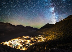
Stargaze at the Top of Bear's Hump
1.7 mi / 656.2 ft gainBear's Hump is one of the shortest hikes in Waterton Lakes National Park. Fortunately, it also offers one of, if not the best, views of the small mountain town of Waterton and surrounding peaks. At 2.8 kilometres and 200 meters of elevation gain round trip, this hike can be done in about an hou...Read more -
Yellowhead County, Alberta
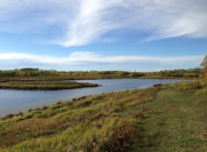
Camping at Obed Lake Provincial Park
1.0Obed Lake Provincial Park is located only 34 km north of Hinton on Highway 16. The park protects several wetlands and lakes in the lower foothills of Alberta. The largest lake, Obed Lake, provides lots of recreational opportunities including canoeing, swimming, fishing, camping, and wildlife view...Read more

