Alberta
Looking for the best photography in Alberta? We've got you covered with the top trails, trips, hiking, backpacking, camping and more around Alberta. The detailed guides, photos, and reviews are all submitted by the Outbound community.
Top Photography Spots in and near Alberta
-
Lake Louise, Alberta
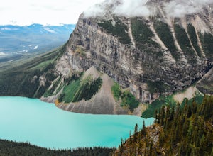
Hike to Big Beehive
5.06.2 mi / 1710 ft gainThe hike to Big Beehive begins at the base of Lake Louise. From the parking lot, hike along the paved trail on the northeastern shore of Lake Louise. The Fairmont Chateau Hotel will be to your right with the lake to your left. Continue toward the junction for the Lake Agnes Trail. Keep right t...Read more -
Improvement District No. 9, Alberta
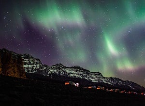
Explore Lake Minnewanka
4.2Head up to Lake Minnewanka on a high alert night to get the perfect view of the Canadian Northern Lights. You can go online to get updates on the best times to go and where they will be the brightest. While the dam at the lake may be overrun with people, explore around and you can find a nice emp...Read more -
Improvement District No. 12, Alberta
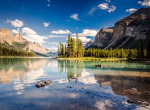
Photograph Spirit Island and Maligne Lake
5.0Spirit Island in Maligne Lake, is only accessible via canoe, kayak, or boat tour. As it's a 14km paddle to the island with sometimes strong winds, most people opt for the boat tour. If you are an experienced paddler, you can get rent a canoe from here. There is a campsite as well here, if you are...Read more -
Jasper, Alberta
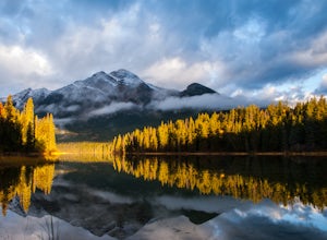
Explore Pyramid Lake
4.61.5 miA visit to Jasper National Park is not complete without a stop at Pyramid Lake to witness the spectacular sunrise.From the Town of Jasper, take the Pyramid Lake Road all the way until you reach the end of the road, where you'll find the parking lot and the trailhead. The gravel trail is 1.2 kilom...Read more -
Banff, Alberta
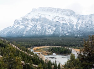
Hike to the Hoodoos, Banff
5.03 mi / 295.3 ft gainThe beginning of this hike is easily accessed from the town center of Banff by the Bow river. Perfect for those without a car! Follow the trail on the side closest to town as it leads up the Bow River and into the forest following the signs for Hoodoos Loop.The hike is 4.8km one way, leading arou...Read more -
Bighorn No. 8, Alberta
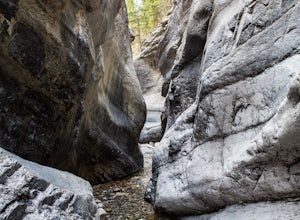
Hiking Jura Creek
5.0From the parking lot find the trail head that leads away from the highway. This is an easy, but very interesting hike that will take you through a winding slot canyon.Take your time and explore all the various options, there are small waterfalls, and if you're feeling really adventurous you can c...Read more -
Improvement District No. 9, Alberta
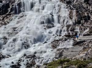
Hike to Bow Glacier Falls
5.05.6 mi / 508.5 ft gainThe trailhead begins directly behind the Num-Ti-Jah Lodge on km 37 of the Icefields Highway. The trail is well marked and winds along the shore of Bow Lake for the first 1.2km of the hike. Eventually you will lead up to a narrow gorge and onto the crest of a glacial moraine. There are only a few...Read more -
Improvement District No. 9, Alberta
Hike to the Ink Pots via Johnston Canyon
3.87.5 mi / 1050 ft gainThe hike through Johnston Canyon to its Upper and Lower falls is one of the most popular hikes to do in Banff - mostly due the little effort required for the great reward.To start, take the Bow Valley Parkway (Highway 1A) - the parking lot and trailhead are clearly marked by a Johnston Canyon sig...Read more -
Canmore, Alberta
Ha Ling Sunrise Hike
4.15 mi / 2296.6 ft gainStart at the Goat Creek parking lot and cross the road towards Ha Ling. There is an access road with a gate on the other side. Walk up the road and across the bridge. From there the trail is obvious and will lead you to the summit. Overall it's a fairly easy hike with switchbacksOnce above tree l...Read more -
Kananaskis, Alberta
East End of Rundle Scramble
4.44.7 mi / 2880 ft gainThis well marked, fun hike that has a bit of everything, from easy forest walking, to steep slabs, minor hands on scrambling, and a scree slope to the summit.From the parking lot, head north up the hill, where the trail begins around the power poles. There a few different paths to start, so it's ...Read more -
Kananaskis, Alberta
Scramble Smutwood Peak
5.011.8 mi / 2772.3 ft gainThe trailhead is is located at the first left after the bridge past Engandine Lodge in Kananaskis. The trail forks after a while and you need to take a right which takes you into Smuts Pass. This trail is actually really cool and fun to walk - undulating, narrow, rooted, and right along the edge ...Read more -
Improvement District No. 9, Alberta
Hike to Boom Lake
4.06.2 miBoom Lake offers amazing views of Boom Mountain and the ridge separating Alberta and British Columbia. It is not as popular as many other hikes in the area, which means exclusion for anyone willing to explore the lake. The abundant wildlife in the area includes wolves, bears, mountain goats, de...Read more -
Improvement District No. 12, Alberta
Hike the Sulphur Skyline Trail
4.75 mi / 2296.6 ft gainTake Highway 16 to Pocahontas. Turn onto the Miette Hot Springs Road (Pocahontas). Drive to the Miette Hot Springs parking area.The trailhead is to the right and behind the hot springs building. Walk up the stairs to the hot springs and through the passenger drop off loop drive. Don't be confused...Read more -
Lake Louise, Alberta
Hike to the Devils Thumb
5.0Park in the main Lake Louise parking lot. Be sure to have purchased your Park Pass. These can be purchased as you enter Banff National Park, or at the Banff and Lake Louise Information Centers. Follow the paved path along the lake shore in front of the Hotel, Chateau Lake Louise. At 0.8 km you wi...Read more -
Kananaskis, Alberta
HIke to Barrier Lake Lookout
3.3From the parking lot, cross the dam, heading west onto the trail, with the lake on your left. Once you reach the forest, you will come to a 'Y' intersection, from which point you have two options:6.7 miles (10.8 km), 4 hours roundtrip, out-and-back For a shorter hike, go right at the 'Y' intersec...Read more -
Improvement District No. 9, Alberta
Hike Johnston Canyon
5.01.6 mi / 393.7 ft gainGetting There: The Canyon is very well marked, but here are directions anyway if you're coming from Banff: Head West on the Trans-Canada Highway for about 5 km or so. Take the Bow Valley Parkway exit, and continue West for another 18km - you'll then see signs to your right for Johnston Canyon. Th...Read more

