Top Spots in and near Natural Bridge Station
-
-
Vesuvius, Virginia
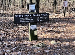
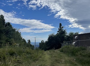
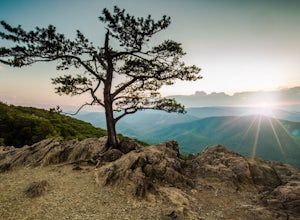
Park in The Slacks Overlook parking lot on the Blue Ridge Parkway, around milepost 20. From there exit the parking lot back onto the road and head left. About 300 feet from the parking lot there is the trail entrance. It isn't too hard to find if you are looking for it, but there aren't any marki...
Read more
-
Roanoke, Virginia
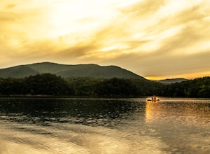
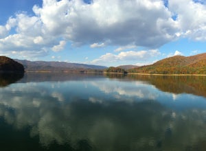
Part of the attraction to the Cove is that you can literally leave work at 5pm and be in the water paddling in plenty of time to catch the sunset. Catching a sunrise is slightly more difficult just because the boat landing doesn't open until 6:30am. However, it's still possible to paddle out and ...
Read more
-
Hot Springs, Virginia
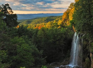
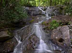
Just nine miles north of I-64, this viewpoint is not one to be missed if you’re in the area. According to the information post at the overlook, “The site was once visited by [Thomas] Jefferson to survey the falls and he mentions it in his manuscripts ‘Notes on the State of Virginia’ written in 1...
Read more
-
Troutville, Virginia
4.8
7.15 mi
/ 1844 ft gain
Looking for a day trip? Look no further than Tinker Cliffs, tucked away in Virginia. This trail provides a workout that is loaded with flowers, bridges, rocks, and views that will leave you inspired to explore more!
The Trail
There are no restrooms located at the parking lot or along the trail....
Read more
-
Lyndhurst, Virginia
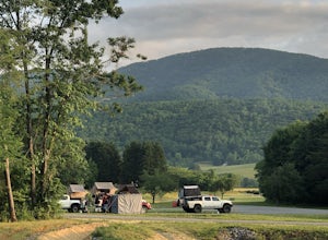
Sherando Lake is a beautifully maintained dog/family friendly campground situated between two lakes. Upper Sherando Lake is available for fishing only but the larger, 25 acre, Lower Sherando Lake offers swimming, fishing, kayaking, and relaxing on the beach. The campground is divided into three ...
Read more
-
Roseland, Virginia
Note: We usually get a chance to take this trip in the summer, so please pay attention to the weather and pack accordingly. This description is for a July/August hike and the temperatures were in the 80s during the day and 60s at night. During this time of year rain showers are always a possibili...
Read more
-
Lyndhurst, Virginia
4.6
14.2 mi
/ 3960 ft gain
From the parking area at Reids Gap, start off on the white-blazed A.T heading south as the trail begins on the left side of a clearing. You will begin climbing Meadow Mountain shortly and in .8 miles arrive at the top of the ridge, where you will continue on downhill for another .8 miles until y...
Read more
-
Salem, Virginia
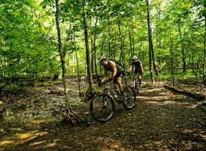
Carvins Cove draws attention from all over the mountain biking community, and has so much to offer both the beginner and expert alike. The best place to access the trails is from the Bennet Springs parking lot on Carvins Cove Road...the pin on the map will take you right there. There is a $2 dail...
Read more
-
Lovingston, Virginia
3.0
5.02 mi
/ 1486 ft gain
Fortune's Cove via Yellow Trail is a loop trail where you may see beautiful wildflowers located near Lovingston, Virginia.
Read more
-
Roanoke, Virginia
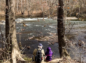
Starting at a great spot to picnic, fish, or put in a kayak, this casual hike meanders along the Roanoke River. Along the trail you can enjoy views of some small river rapids and the beautiful trees surrounding along the river.The trail begins at a parking lot at the end of Rutrough Road. There ...
Read more
-
Roseland, Virginia
Located next to Wintergreen Resort, Devils Knob is super easy to get to and has an amazing 180 degree panoramic view. Looking Southwest over the Blue Ridge Mountains and the Blue Ridge Parkway, this 3,800 foot overlook had a great view of Three Ridge Mountain and the Priest. Located on Devils Kno...
Read more
-
Roseland, Virginia
This place has it all : a bomb fire pit, live music, distillery, restaurant, 48 taps, mountain views, and more! Not to mention, it’s in a great location for exploring. It’s close to tons of breweries, wineries, and cideries, it’s just a few miles from the Appalachian trail, and close to Shenando...
Read more
-
Lyndhurst, Virginia
This cozy little overlook is very simple to get to. If you are coming from I 64, after taking exit 99 towards Shenandoah National Park, turn right onto the Blue Ridge Parkway when the exit comes to a "T-stop". From there, it's 10 miles down the Parkway on your right. You will see a clearly marke...
Read more
-
Lyndhurst, Virginia
Starting from the Dripping Rock Parking area at MP 10 on the Blue Ridge Parkway, head north on the white blazed Appalachian Trail (trail leading into woods from parking lot- don't cross the road). In about 20 steps the trail splits- go right. In another 20 steps or so the trail splits again but t...
Read more
-
Hot Springs, Virginia
5.0
6.6 mi
/ 1200 ft gain
On your way to the trailhead don't forget to pull off the road at the scenic outlook to take in the vast expanse of Lake Moomaw (you won't miss it!).Start off your adventure by parking at the end of Twin Ridge Drive (37.976545, -79.985582). From this point, hike down the little paved driveway int...
Read more

