Top Spots in and near Natural Bridge Station
-
Rockbridge Baths, Virginia
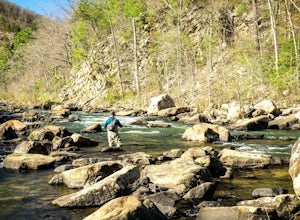
The fly fishing on the Maury River is one of a kind through the Goshen Pass. The Pass is littered with huge boulders, which actually makes it possible to fish without waders, although it's much easier and more enjoyable with waders.From Lexington, VA, take Route 39 towards Goshen for approximatel...
Read more
-
Rockbridge Baths, Virginia
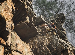
Goshen Pass is a beautiful area for kayaking and fishing in Bath County, Virginia near Lexington. But not as well known is the fact that there are a few places that are great for rock climbing. You'll want to park at the swinging bridge which is two miles past the picnic area on route 39 once you...
Read more
-
Goshen, Virginia
4.3
5.6 mi
/ 1200 ft gain
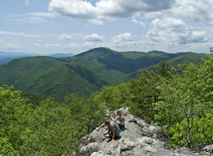
The parking for the trailhead is down an unmarked gravel/dirt road about 1.5 miles upriver from the Virginia Wayside rest area on Route 39 West. You'll see the swing bridge out across the river and the road will be immediately after this on your right. The road goes back about 200 yards to the pa...
Read more
-
James River Heritage Trail, Virginia
Easily accessible from the Percival's Island Natural Area parking lot, the James River Heritage Trail and adjoining Seven Rails Trail are an easy escape from downtown Lynchburg.
From the parking lot, follow the trail signs toward Percival's Island, which will almost immediately take you across a...
Read more
-
Eagle Rock, Virginia
From 615 (Craig Creek rd) you turn on to 621 (Roaring Run rd) and about mile down is a little gravel road on the left that you turn down. Go down this gravel road a little ways to reach the parking area, you'll know you're there when you see a big gate held up by two stone pillars.
Once you are r...
Read more
-
Meadows Lane, Virginia
As stated, the campsites are free. They do not require reservations or permits and are on a first come, first served basis. Regardless of which direction you're coming from, you will be traveling on Crabtree Falls Highway until reaching Meadows Lane. This is a gravel access road that requires 4WD...
Read more
-
Tyro, Virginia
4.9
5.71 mi
/ 1191 ft gain
The hike is part of the George Washington National Forest, and can easily be combined with nearby Crabtree Falls (300ft cascading waterfall with a hike to the top). The entire trip is 5.7 miles, and there are nice campsites at the base of the summit (no water source) if you want to add on this pr...
Read more
-
Tyro, Virginia
4.4
3.01 mi
/ 843 ft gain
Starting at the Upper Crabtree Falls Parking area, continue up the "road" on Shoe Creek Trail for half a mile until you come to the intersection of the Appalachian Trail. That will be the steepest part of the hike. Look for two rocks on either side of the trail with white blazes on them. Take a l...
Read more
-
Rustburg, Virginia
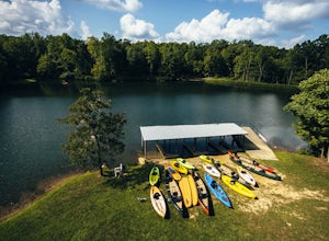
If you love everything outdoors, the Hydaway Outdoor Recreation Center is the place for you! You can do almost any activity you can think of here. If you aren't affiliated with Liberty University, you can't rent their equipment, but you can bring you own to use.
The main attraction is the lake wh...
Read more
-
Millboro, Virginia
3.4
7.2 mi
/ 2200 ft gain
In Douthat State Park, park at the Discovery Center/Amphitheater parking lot near the children's fishing area. The Blue Suck Falls trail head will be towards the dam on the left side and is well-marked.Note: A trail map is highly recommended for this trail! It is fairly well-marked with blue blaz...
Read more
-
Blue Ridge, Virginia
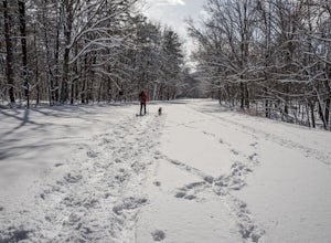
We don't get a ton of snow here in Virginia, but when we do, the Blue Ridge Parkway can be a great place to get out and enjoy a day of snowshoeing or cross country skiing. It's also a great opportunity to get your pup out and let him work out some energy as the chances of running into anyone are ...
Read more
-
Tyro, Virginia
4.5
3.05 mi
/ 1161 ft gain
This is an approximately 3 mile roundtrip hike. It will usually take anywhere from 1-2 hours to get up, depending on your experience and who you have with you, and about an hour down. As you come off of route 56, you will come up to the trailhead where there is a large parking area with restroom...
Read more
-
Raphine, Virginia
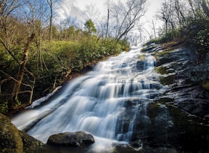
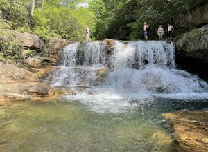
Saint Mary's Wilderness is one of Virginia's largest designated wilderness areas and is an old iron ore mining area. There are two ways to get to Saint Mary's Falls and this Blue Ridge adventure will start you off at the parking area off Saint Mary's Road.
Once on Saint Mary's Road, you will dr...
Read more
-
Raphine, Virginia
4.5
6.03 mi
/ 538 ft gain
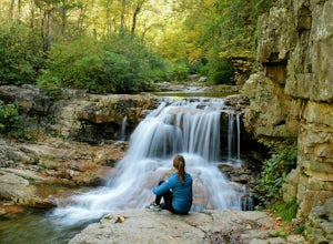
Saint Mary's Wilderness is an out-and-back trail that takes you by a waterfall located near Vesuvius, Virginia.
Read more
-
Daleville, Virginia
4.6
7.48 mi
/ 1276 ft gain
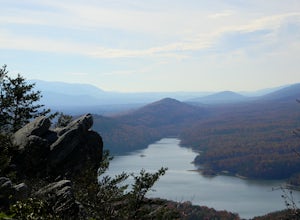
If you're looking for a hike in the Roanoke area without the crowds that McAfee Knob draws, but still want a challenging hike with great views, try hiking to Hay Rock.
This 7.5 mile round trip hike begins at the Park and Ride just off I-81 at the US-220 Troutville/Fincastle exit (150B). The gra...
Read more
-
Vesuvius, Virginia
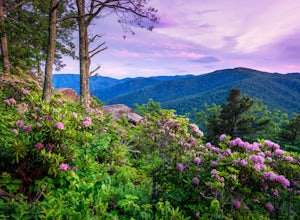
Located at mile marker 19 along the Blue Ridge Parkway, 20 Minute Cliff Overlook is super easy to access and has an amazing 180 degree panoramic view. Looking West over the Blue Ridge Mountains, this 2,715 foot overlook has a great view of the Priest to the South, Maintop Mountain and Fork Mounta...
Read more

