Salem, Virginia
Top Spots in and near Salem
-
Salem, Virginia
McAfee Knob
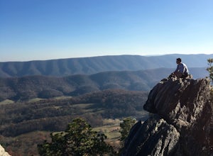
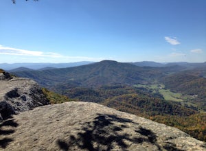
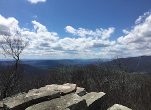
4.77.79 mi / 1296 ft gainIntro McAfee Knob is one of the most photographed and picturesque locations along the Appalachian Trail. Once you reach McAfee Knob, you'll have almost 270 degree views of the the Roanoke Valley to the East, Catawba Valley and North Mountain to the West, and Tinker Cliffs to the North. Due to t...Read more -
Salem, Virginia
Mountain Bike at Carvins Cove
5.030 mi / 750 ft gainCarvins Cove draws attention from all over the mountain biking community, and has so much to offer both the beginner and expert alike. The best place to access the trails is from the Bennet Springs parking lot on Carvins Cove Road...the pin on the map will take you right there. There is a $2 dail...Read more -
Catawba, Virginia
Virginia Triple Crown
5.029.24 mi / 5531 ft gainThe Virginia Triple Crown is a combination of three of the most spectacular and popular hikes in the region. It combines the Dragon’s Tooth, McAfee’s Knob, and Tinker Cliffs hikes into one long multi-day hike along the Appalachian Trail. It makes for an excellent 2 day backpacking trip, with many...Read more -
Catawba, Virginia
Dragon's Tooth Trail
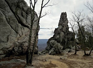
4.94.44 mi / 1394 ft gainFrom I-81: Exit 140 and take Highway 311 north for 11 miles towards New Castle. Dragon’s Tooth parking lot is on the left, just past Catawba Grocery. LAT 37.3787 LONG -80.1563 Ready to tackle the Dragon? This 4.6 mile, out and back, trail provides one with a true hiking experience. The hike wil...Read more -
Roanoke, Virginia
Canoe or Kayak at Carvins Cove
5.0Part of the attraction to the Cove is that you can literally leave work at 5pm and be in the water paddling in plenty of time to catch the sunset. Catching a sunrise is slightly more difficult just because the boat landing doesn't open until 6:30am. However, it's still possible to paddle out and ...Read more -
Roanoke, Virginia
Take in the View at Roanoke Mountain Overlook
4.0The Roanoke Mountain Road is a 4 mile one-way loop accessed at mile post 120.3 off the Blueridge Parkway. It's a winding single-lane road, and I would certainly not venture up there with a trailer. There is a large parking area at the main overlook which provides an excellent view of the sunset. ...Read more -
Daleville, Virginia
Hay Rock
4.67.48 mi / 1276 ft gainIf you're looking for a hike in the Roanoke area without the crowds that McAfee Knob draws, but still want a challenging hike with great views, try hiking to Hay Rock. This 7.5 mile round trip hike begins at the Park and Ride just off I-81 at the US-220 Troutville/Fincastle exit (150B). The gra...Read more -
Troutville, Virginia
Tinker Cliffs via Andy Lane Trail
4.87.15 mi / 1844 ft gainLooking for a day trip? Look no further than Tinker Cliffs, tucked away in Virginia. This trail provides a workout that is loaded with flowers, bridges, rocks, and views that will leave you inspired to explore more! The Trail There are no restrooms located at the parking lot or along the trail....Read more -
Roanoke, Virginia
Hike along the River Walk Trail in Roanoke's Explore Park
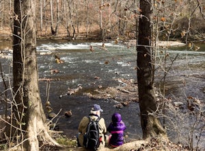
3.01.5 miStarting at a great spot to picnic, fish, or put in a kayak, this casual hike meanders along the Roanoke River. Along the trail you can enjoy views of some small river rapids and the beautiful trees surrounding along the river.The trail begins at a parking lot at the end of Rutrough Road. There ...Read more -
Blue Ridge, Virginia
Snowshoe the Blue Ridge Parkway
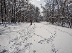
3.3We don't get a ton of snow here in Virginia, but when we do, the Blue Ridge Parkway can be a great place to get out and enjoy a day of snowshoeing or cross country skiing. It's also a great opportunity to get your pup out and let him work out some energy as the chances of running into anyone are ...Read more -
Shawsville, Virginia
Hike to Stiles Falls
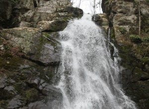
4.83 mi / 500 ft gainPark at the Alta Mons camp parking lot, and start walking the gravel road. There will be signs throughout the trail that lead to the waterfall. Continue down the trail for 1.5 miles. Look out for the white trail markers that indicate the Stiles Falls trail. After 1.5 miles, you will reach the wat...Read more -
Newport, Virginia
Hike to the Keffer Oak on the Appalachian Trail
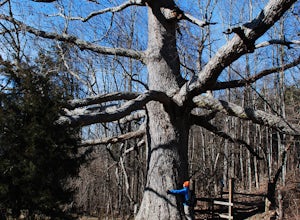
4.32.6 mi / 600 ft gainYou can park your car at the small gravel lot where VA-42 and Rt. 629 intersect. Starting from the Appalachian Trail crossing at VA-42, head north on the AT, which winds through some grass meadows. After about 0.8 miles into the hike you will cross Rt. 630 (Northside Road) on a bridge over Sinki...Read more -
Blacksburg, Virginia
Hike the Coal Mining Heritage Park and Loop Trail
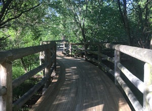
5.01 miThis is a part of the Huckleberry Trail (which is paved), but off of it is the dirt hiking/walking trail loop. It is a really fun area to explore, and the parts that are on the Huckleberry have plaques with historical information on it which is all very interesting. It also has a beautiful wooden...Read more -
Craig County, Virginia
Hike to Kelly's Knob via the Appalachian Trail
4.34 mi / 500 ft gainThis is a great day hike for families or groups looking to get out for a short hike on the Appalachian Trail in Jefferson National Forest.From 460W Take Blue Grass Trail Rd then a left onto Clover Hollow Rd/State Route 601. Continue on this for 6.7 miles until you reaches an intersection with the...Read more -
Blacksburg, Virginia
Take a Stroll around Pandapas Pond
4.51 miGreat for walking or jogging. There are nice views of the pond and there are also other little areas like one dedicated to horticulture. Fishing is also possible (with a license). Parking is very easy here!Read more -
Newport, Virginia
Photograph Sinking Creek Falls
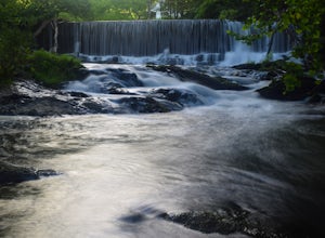
5.0Park at the Clover Hollow Covered Bridge, and walk or bike 1/3 mile along Clover Hollow Rd in the direction of Blue Grass Trail Rd or to the pin dropped in the location below.When you can see the waterfall, carefully walk down the bank where you'll have perfect angles of the waterfall and surrou...Read more
Top Activities
Camping and Lodging in Salem
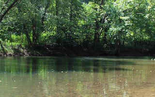
Eagle Rock, Virginia
Craig Creek Recreation Area
Overview
Craig Creek Recreation Area provides old-fashioned, rustic group camping for those that require few amenities. The large open fi...
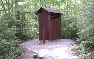
Paint Bank, Virginia
Steel Bridge Campground
Overview
Steel Bridge Group Campground provides old-fashioned, rustic group camping for those that require few amenities. There are thre...
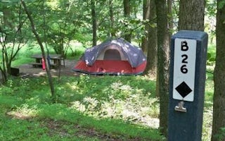
Bedford, Virginia
Peaks Of Otter Campground
Overview
The Peaks of Otter Campground is nestled between the bases of two dominating mountains in the rolling hills of Virginia.Recreati...
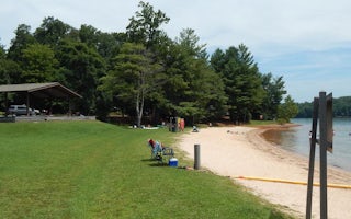
4780 Goose Point Road
Goose Point
Overview
Goose Point Campground is nestled on the shores of Philpott Lake in the rugged foothills of Virginia's Blue Ridge Mountains. The...
Natural Bridge Station, Virginia
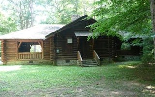
Cave Mountain Lake Group Camp
Overview
Cave Mountain Lake Group Camp is nestled in the Blue Ridge Mountains of Virginia, and welcomes visitors to enjoy the rustic beau...
Natural Bridge Station, Virginia
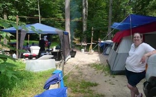
Cave Mountain Lake Family Camp
Overview
Cave Mountain Lake Family Camp is nestled in the Blue Ridge Mountains of Virginia, and welcomes visitors to enjoy the rustic and...

