Morgan, Utah
Top Spots in and near Morgan
-
Tooele, Utah
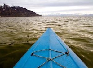
Kayaking on the Great Salt Lake
3.5Launch your kayak or SUP from the marina, which is located only 20 minutes from downtown Salt Lake City. You can go as long and far as you want. Some popular short destinations are to Black Rock (2 miles RT(40.725294, -112.227835)) or Pyrite Point (5 miles RT (40.758405, -112.191853). Neither are...Read more -
Tooele, Utah
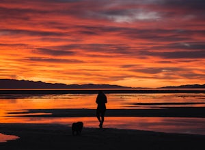
Catch a Sunset at the Great Salt Lake Marina
Head west on I-80 and get off on the Saltair exit. You will drive past the music venue and into the Great Salt Lake state park. Right before the marina you will veer left onto a dirt road and this will take you right up to the black rock. Prepare yourself for the wonderful smell of the Great Salt...Read more -
Heber City, Utah
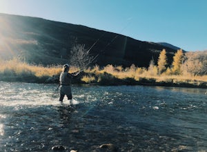
Fly Fish the Middle Provo River
The Middle Provo River runs from Jordanelle Reservoir to Deer Creek Reservoir through the Heber Valley. To get there from Salt Lake City, head southeast on I-80. Take exit 146 and merge onto US-189/US-40 toward Heber. Travel 17.1 miles; turning right onto W 100 South/River Road. 0.3 miles down Ri...Read more -
South Jordan, Utah
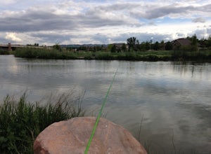
Fish at the East Riverfront Fishing Ponds
5.00 mi / 0 ft gainThese are great little ponds located at 11267 S. River Front Pkwy in South Jordan. It is just off of a section of the Jordan River. Kidney Pond is the one located just by the parking. Midas is just above and you can see it from the parking. You can fish here for rainbow trout, channel catfish, bl...Read more -
Draper, Utah
Lone Peak via the Cherry Creek Logging Trail
14.8 mi / 6378 ft gainYou start this trail at the Orson Smith Park in Draper. It joins with the Bonneville Shoreline Trail briefly before turning off onto the cherry creek logging trail. It switchbacks for a long ways exposed on towards the valley. It is fairly steep in places, but doable. I had tennis shoes with ...Read more -
Draper, Utah
Lone Peak via Jacobs Ladder
4.714.2 mi / 6713 ft gainThe main trail to Lone Peak is via Jacobs Ladder. To get to the start of the trailhead you need to drive on a dirt road for a little bit until you get to a little parking area (start of the road indicated on the map). The trail starts just south of where you park on the dirt road. The Jacobs Lad...Read more -
Provo, Utah
Backpack to Silver Lake
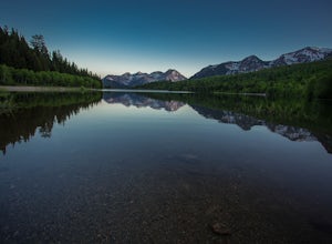
4.44.1 mi / 1500 ft gainThe trail is 4.1 miles roundtrip gaining almost 1,500 feet for the duration of the adventure. Some parts are exposed, so you can get a fair amount of sun.When you're on the trail, you'll get amazing views as you’re hiking to the lake of Mount Timpanogos and American Fork Canyon. This is followed ...Read more -
Provo, Utah
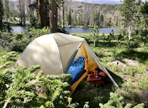
Camp at Silver Lake
4.54.4 mi / 1500 ft gainSilver Lake is a wonderful place to go if you're in need of a quick adventure in the woods. Located in the the Uinta National Forest, Silver Lake is relatively easy to get to via American Fork Canyon in Utah, however I do recommend driving a car with 4WD and can handle steep dirt roads with shar...Read more -
Sandy, Utah
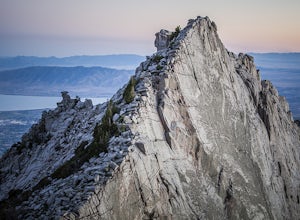
Climbing in the Lone Peak Cirque
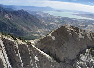
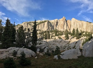
4.0Lone Peak reaches 11,253 feet at its summit. It's alpine feel is unique as it stands above the busy city below. While this gem is one of the highlights in the Wasatch range, it must be earned. A long steep approach, best done at night in the summer months, deposits you in the high meadow surround...Read more -
Alpine, Utah
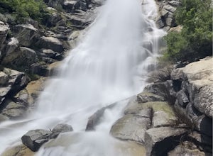
Horsetail Falls - Dry Canyon
5.04.01 mi / 1808 ft gainHorsetail Falls is a somewhat short hike located near Alpine, UT. The hike has good elevation gain and will make you work a bit to get there. The reward is worth the effort as you arrive at the falls and take a great view while being refreshed in the mist of the falls. The trail is straightforwar...Read more -
Alpine, Utah
Day Hike to South Thunder Mountain
12.2 mi / 5604 ft gainThe summit of South Thunder Mountain, sitting at 11,154 ft, is a superb peak. Located on the Alpine Ridge of the Wasatch Mountains, this peak is criminally overlooked.The Schoolhouse Springs trailhead leads you onto an old dirt road, that switchbacks for about 2 miles through the foothills, befor...Read more -
Kamas, Utah
Hike to Round, Sand, and Fish Lake in the Uinta Mountains
9 mi / 2000 ft gainThe Dry Fork Trailhead at the end of Weber Canyon Rd is the starting point for the hike to Round, Sand, and Fish Lakes in the Uinta Mountains of Utah. In the early spring and summer, this trail can be wet due to snowmelt runoff, but by mid-summer, it dries out and is a fantastic hike. The trail i...Read more -
Provo, Utah
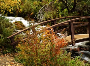
Explore Scenic Cascade Springs
4.7One of the most photogenic spots of the Timpanogos Canyon. If you take the Alpine loop you will see a sign to turn off and go to Cascade Springs. It's about a 15 minute drive from there. The parking lot is right next to the springs. The best time to go is during the fall when the leaves are chang...Read more -
Provo, Utah
Hike the Pine Hollow Trail
4.04.4 mi / 1100 ft gainThe trailhead (Forest Trail 047 - Pine Hollow Trail) starts across the street from a turnout about .5 miles above Mutual Dell in American Fork Canyon. This highly trafficked trail is used for just about every activity you can think of, meaning that you can even snowshoe this in the winter. It's a...Read more -
Wasatch County, Utah
Capture the Sunrise above Cascade Springs
Head towards Cascade Springs from either Provo or American Fork Canyons. As you approach Cascade Springs, a couple miles out watch for small turn-outs on the right side of the road. There should be just enough room for you to park in a variety of locations on the way down to the springs. Hop out ...Read more -
Kamas, Utah
Hike Riley's Canyon
5 mi / 200 ft gainAproximately two miles Southeast of Woodland, UT on Highway 35 you will come to a small turnout on the North side of the road. It is sufficient in size for a handful of vehicles to park, so that passengers can make their way into Riley's Canyon. From the turn off, look to the North and you will s...Read more

