Morgan, Utah
Top Spots in and near Morgan
-
Oakley, Utah
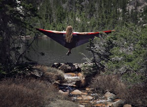
Backpack to Cutthroat Lake
4 mi / 280 ft gainThere isn't a trail to Cutthroat Lake so for a portion of the hike will be cross-country. I highly recommend bringing a GPS but with intermediate route-finding skills you should be able to find your way. We used the Gaia GPS app and this made the hike much easier. The distance depends on the r...Read more -
Oakley, Utah
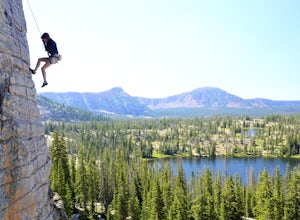
Scale the Cliffs at Ruth Lake
4.8Getting There From Evanston, take the Mirror Lake Highway 150 about 42 miles to the Ruth Lake trailhead and follow the easy hike up from the highway; just look for the signs directing you to Ruth Lake. The Trail/The Climbs Once on the trail, keep an eye out to your left and soon you'll see the cl...Read more -
Oakley, Utah
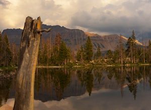
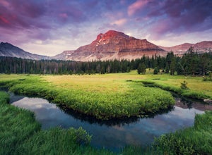
Hike to Ruth Lake in the High Uintas Wilderness
5.02 mi / 300 ft gainThe Uintas are a high elevation, pristine mountain wilderness located in Utah. This range receives over 400 inches of precipitation annually, and you can find water everywhere. There are 400+ miles of streams, waterfalls, and more than 2,000 lakes! One of the prettiest and most accessible of th...Read more -
Provo, Utah
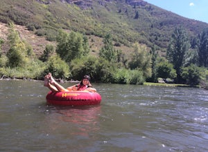
Floating the Provo River
4.3There's no better way than spending a hot summer day floating down a river with your friends. The Provo River offers incredible views of Mount Timpanogos and other surrounding mountains in the Provo Canyon. The easiest way to do this adventure is to visit High Country Adventure in the Provo Cany...Read more -
Evanston, Utah
Backpack Naturalist Basin and Summit Mount Agassiz
4.015 mi / 3700 ft gainNaturist Basin is a beautiful area in the High Uintas Wilderness with an abundance of mountains, lakes, meadows, and wildlife. It is best hiked July-September. To get to the trailhead, drive up the Mirror Lake Scenic Byway until you reach the Highline Trailhead Campground, about 3 miles past Mi...Read more -
Evanston, Utah
Hike to Hayden Peak in the High Uintas
3.63 mi / 2053 ft gainHayden Peak is by all means the monarch mountain of the Mirror Lake Highway. By that, I mean that Hayden Peak is easily the most rugged and impressive peak that can be viewed from the road. Driving over Bald Mountain Pass towards Evanston, WY, this peak looks amazing. There are few mountains out ...Read more -
Lehi, Utah
Jordan River Parkway Trail
4.045.33 mi / 2113 ft gainJordan River Parkway Trail is a point-to-point trail that takes you by a lake located near Saratoga Springs, Utah.Read more -
Provo, Utah
Upper Falls
2.70.54 mi / 423 ft gainComing from Provo, at about 2.5 miles make a right hand turn for Nunn's Park/ Bridal Veil. Go straight through the intersections and pass Bridal Veil Falls (on your right) and continue until you see a park on your right (Upper Falls Park). Park here and cross the bridge over the creek and then fo...Read more -
Evanston, Utah
Camp at Christmas Meadows in the Uinta National Forest
Just four miles from the Mirror Lake Scenic Byway, this limited site campground is a great alternative to the larger, busier campgrounds at lower elevations. There are just 11 sites here, a few of which are first-come, first-serve. Amenities include picnic tables, campfire rings, vault toilets, d...Read more -
Evanston, Utah
Kermsuh Lake Trail
5.013.04 mi / 1722 ft gainKermsuh Lake Trail is an out-and-back trail that takes you by a lake located near Oakley, Utah.Read more -
Evanston, Utah
Backpack to Ryder Lake
4.718 mi / 2000 ft gainRyder Lake is accessed via the Stillwater Trail, beginning at the Christmas Meadows Trailhead off of Mirror Lake Highway. The trail heads due south from Christmas Meadows along the Stillwater River. It winds through lodgepole pine forests and skirts alpine meadows, gradually gaining elevation. A...Read more -
Evanston, Utah
Hike to Ostler Peak in the High Uintas
13.7 mi / 3935 ft gainHiking Ostler Peak in the High Uintas Wilderness is a serious challenge for anyone. Typically, this hike is done over 2-3 days, with an overnight at the beautiful Ostler Lake. Strong hikers can do this hike in one day, however, as long as you are prepared and know the route. The route up Ostler ...Read more -
Evanston, Utah
Amethyst Basin via Christmas Meadows
4.512.57 mi / 2303 ft gainDirections: The trail leaves from the Christmas Meadows Trailhead. From Mirror Lake Scenic Byway (US 150) turn on Christmas Meadows Rd. The campground and trailhead are around 3.5 miles down the road dirt road. The road is suitable for low clearance vehicles. Trip Length: 6 miles each way + opt...Read more -
Provo, Utah
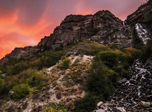
Bridal Veil Falls
4.80.47 mi / 285 ft gainHeading on Provo Canyon Rd the waterfall is just on the right hand side. You will see a sign that says "Bridal Veil" to turn in and park at the falls. At the falls you can hike up a bit to get closer to the waterfall but you will get sprayed quite a bit. Usually a few people there take photos at ...Read more -
Provo, Utah
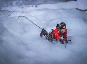
Ice Climbing Provo Canyon
There are a number of good ice climbing areas in the canyon. Everything from short easy water ice on up to the most difficult mixed route in the state are available. The area surrounding Bridal Veil Falls usually sees the most traffic. There are too many great routes to names here. For more in de...Read more -
Wasatch County, Utah
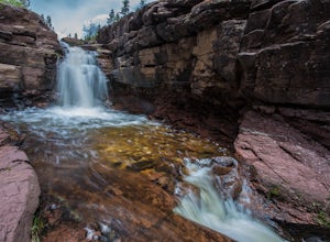
Hike Little Deer Creek to Cataract Gorge
4.04 miLittle Deer Creek Canyon can be accessed from the Emerald Lake Highway (150) in the Uinta National Forest east of Kamas, Utah. Turn right onto Murdoch Basin Road (Forest Service Road 137) until it splits off to the road to Cataract Gorge (Forest Service Road 027). It is recommended you park her...Read more

