Culver, Oregon
Top Spots in and near Culver
-
Sisters, Oregon
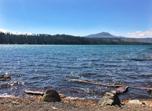
Suttle Lake Loop
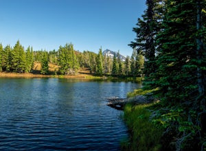
5.03.66 mi / 128 ft gainBeginning at the Suttle Lake Lodge just off Highway 20, the Suttle Lake Loop follows a wide dirt path that circumnavigates the entire lake. Hug the lake whenever the trail opens up to camping areas or pavement - it's nearly impossible to become lost on this track. Pass campsites, kayakers, and r...Read more -
Deschutes County, Oregon
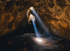
Skylight Cave
4.40.2 mi / -25 ft gainThe hardest part about getting to Skylight Cave is the drive. Start by coming from Sisters, Oregon, and use the driving directions below to find it. The Google Maps pin is accurate, and if you like coordinates, you can use 44°20'55.3"N 121°42'55.9"W as well. It's recommended you download an offl...Read more -
Jefferson County, Oregon
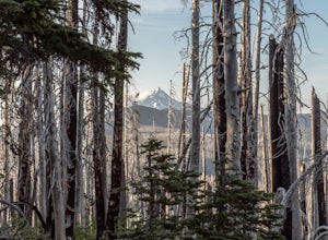
Hike Canyon Creek Meadow and 3 Fingered Jack
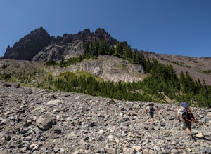
5.0This hike is truly spectacular from the moment you step foot out of your car. Jack Lake lies at the beginning of the trail, and provides a beautiful sample of what's to come. Stop and take pictures if you feel so inclined, but don't stop here to camp, because it gets a LOT better!Follow the trail...Read more -
Sisters, Oregon
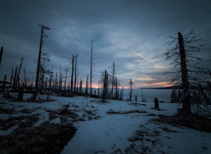
Winter Camp on Cache Mountain
5.02 miCache Mountain offers amazing views of Mt Jefferson, 3 Fingered Jack, Mt Washington and the North and Middle Sisters. In the summer months, it is also known as one of the best single track mountain biking spots in Central Oregon. This is a great spot for a multi-day camping trip; set up camp and ...Read more -
Deschutes County, Oregon
Summit Black Crater
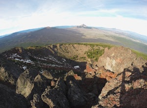
5.08 mi / 2211 ft gainThe Black Crater Trailhead parking lot is accessed off the McKenzie Pass (Hwy 242). The trailhead starting elevation is 5,040ft. (using the iPhone app "Topo Maps". Great app) with a 3.8 Mile hike one way to the Black Crater Summit at 7,251ft of elevation. Some parts of the trail are steep and g...Read more -
Sisters, Oregon
Backpack to Square and Booth Lakes
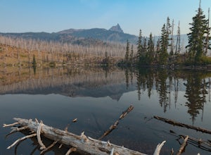
2.08 mi / 240 ft gainThis is an easy access, fairly short backpacking trip to a high mountain lake, which is good for kids. A super dusty, dry and smoke permeated trip to the base of Three Fingered Jack. Forest fires raging throughout the northwest poured smoke in to the entire western half of the state during this A...Read more -
Sisters, Oregon
Three Fingered Jack Loop
3.824.07 mi / 3537 ft gainBegin this 2-3 day backpacking trek at the Santiam Pass trailhead off Highway 20, 31 miles east of Detroit and 21 miles west of Sisters, Oregon. You can begin the loop either north on the PCT or East on trail #4014 towards Square Lake (as it is a loop) I would recommend heading east. It's a 2.2 ...Read more -
Bend, Oregon
Ride the Twin Bridges Loop
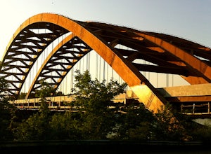
4.5Starting and ending at Drake Park in the heart of downtown Bend, the Twin Bridges Loop is one of the most popular and scenic road cycling routes in Central Oregon.The Twin Bridges Loop covers 36 miles of rolling terrain and offers breathtaking views of the snow-capped Cascade mountains, rolling f...Read more -
Marion County, Oregon
Explore Mt. Jefferson
5.0I went for a quick overnighter. The end of August is great for weather, very little bugs, and perfect time to meet and chat with PCT through hikers.The weather was absolutely perfect for night photography and lounging around camp. It's also one of the best views in Oregon if you ask me.If you're ...Read more -
Marion County, Oregon
Hike Mt. Jefferson's Park Ridge
5.07.4 mi / 1500 ft gainFrom the Breightenbush Lake PCT trailhead (5,600ft Elevation) you hike through a thick forest until you reach an old burn area. This area was burned from a forest fire and has rebirthed lush green plants and bushes to help feed all the animals in the area. After a mile of climbing through the bur...Read more -
Deschutes County, Oregon
Chush Falls
3.35.75 mi / 823 ft gainJust outside of Sisters, Oregon, near Bend, is a beautiful hike to a picturesque waterfall. It is rarely crowded thanks (and no thanks) to the Pole Creek Fire, which ravaged the area several years ago. Because of the fire, the hike and landscape have been drastically altered. What used to be a 2-...Read more -
Deschutes County, Oregon
Camp at Lava Lake
4.5Beautiful spot to set your tent up for a night or longer.About 12 spots scatter the immediate campground area, but while hiking we spotted several more dispersed throughout the towering Ponderosa Pine trees. Most of the spots circle a small lake. The ground in this site is a VERY soft dirt, perfe...Read more -
Marion Forks, Oregon
Marion Falls
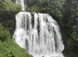
4.14.12 mi / 968 ft gainThis hike explores an off-trail trip to one of my favorite waterfalls in Oregon. To kick off this hike, you'll start at the Marion Lake trailhead. The road to this trailhead is Marion Creek Road at mile point 66.5 off Highway 22. It's 4.3 miles until you reach the parking lot and start your journ...Read more -
Deschutes County, Oregon
Matthieu Lakes via Lava Camp Lake Trail
2.06 mi / 922 ft gainBegin your hike at the Lava Camp Lake Trailhead. The trail winds through a forest flush with hemlock and fir while opening up into black lava flows. Continue for a little over two miles until you reach North Matthieu Lake. This is your first stop. Go for a swim out to the little island and have a...Read more -
Bend, Oregon
Float or Paddle The Deschutes River
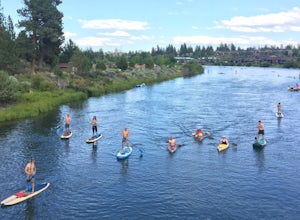
4.7Looking for something fun to do in Bend when the weather gets warm? Look no further. The easiest way to make this happen is to take your crew down to Riverbend Park. There's ample parking, on-site rentals of all kinds, and a beach for launching. The park also features a lot of nice grass areas fo...Read more -
Bend, Oregon
Deschutes River Trail Loop
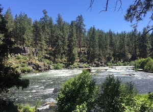
4.73.18 mi / 203 ft gainThere are quite a few urban trails along the Deschutes River, but my favorite runs just South of the Old Mill District near the Farewell Bend Park. Here you will find a gravel loop trail that is private and relaxing, but also very convenient to other amenities such as restrooms, shops, and resta...Read more

