Culver, Oregon
Looking for the best photography in Culver? We've got you covered with the top trails, trips, hiking, backpacking, camping and more around Culver. The detailed guides, photos, and reviews are all submitted by the Outbound community.
Top Photography Spots in and near Culver
-
Terrebonne, Oregon
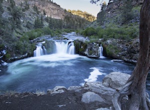
Hike to Steelhead Falls
4.81 mi / 120 ft gainFollowing along the Dechutes river for half a mile you will see where the river progressively gets more aggressive. On both sides of the trail you will see beautiful mountain inclines and jagged cliffs. If your lucky you might just see a bald eagle soaring high above! Along with Steel Head being ...Read more -
Terrebonne, Oregon
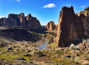
Summit Trail Loop at Smith Rock
4.66.87 mi / 1506 ft gainSmith Rock State Park is an iconic PNW canyon that's become one of the rock climbing capitals of the country, and known worldwide for its sport climbing routes. And while climbing draws crowds year-round, adventurers also visit for its trail system boasting sweeping Central Oregon volcano views. ...Read more -
Terrebonne, Oregon
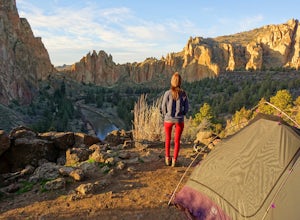
Smith Rock State Park Loop
4.95.55 mi / 1325 ft gainPark your vehicle in the bivouac parking area and hike 200 yards west to the tent campsites. Set up your home away from home at one of the undesignated cliff side campsites overlooking the park. Although it is famous for rock climbing, Smith Rock also boasts an extensive trail system. The best h...Read more -
Camp Sherman, Oregon
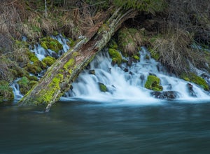
Hike the West Metolius River Trail
8 mi / 280 ft gainThe West Metolius River trail is one of the finest river trails in Central Oregon due to its easy terrain, beautiful blue water, volcanic spring fed waterfalls, and forest views. The hike starts just downstream from the Lower Canyon Creek Campground, where there is a bathroom and some picnic tab...Read more -
Camp Sherman, Oregon
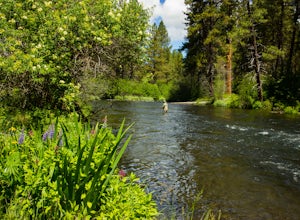
Fly Fishing the Metolius
5.0If there were a river in heaven it would be the Metolius. This gem located near Sisters Oregon offers year-round fly-fishing (only) to anyone who wishes to do so. The area offers multiple types of accommodations from tent camping to staying in resort-like cabins on the river. The best time to go...Read more -
Sisters, Oregon
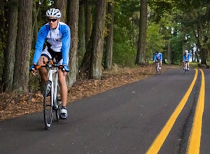
The Sisters to Smith Rock Ride
5.036.6 mi / 597 ft gainStarting in the "Old West" town of Sisters, Oregon and ending at Smith Rock State Park outside the small town of Terrebonne, this route takes riders past a variety of historical sites, shows the gentle curves of the Deschutes River and frames spectacular views of the Cascade Mountains, and ends w...Read more -
Camp Sherman, Oregon
Black Butte
4.53.94 mi / 1493 ft gainJust outside of Sisters Oregon is the stunning and popular day hike to the summit Black Butte (Elevation 6,436 feet). At the top, spectacular views of the surrounding Cascades await the intrepid hiker. To get to the trailhead, turn off of Highway 22 onto National Forest Road (NFR) 11, also known...Read more -
Sisters, Oregon
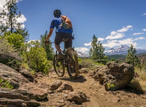
Mountain Bike the Peterson Ridge Trail
1.016.1 mi / 1167 ft gainBend, Oregon has a deserved reputation as one of the top mountain bike destinations in the country. Unless you are from the area, you might not be familiar with nearby Sisters. Sisters is a sleepy western-themed town of 3,000 better known for it's annual rodeo and quilt festival but the locals ha...Read more -
Deschutes County, Oregon
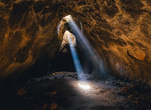
Skylight Cave
4.40.2 mi / -25 ft gainThe hardest part about getting to Skylight Cave is the drive. Start by coming from Sisters, Oregon, and use the driving directions below to find it. The Google Maps pin is accurate, and if you like coordinates, you can use 44°20'55.3"N 121°42'55.9"W as well. It's recommended you download an offl...Read more -
Jefferson County, Oregon
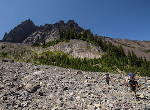
Hike Canyon Creek Meadow and 3 Fingered Jack
5.0This hike is truly spectacular from the moment you step foot out of your car. Jack Lake lies at the beginning of the trail, and provides a beautiful sample of what's to come. Stop and take pictures if you feel so inclined, but don't stop here to camp, because it gets a LOT better!Follow the trail...Read more -
Sisters, Oregon
Winter Camp on Cache Mountain
5.02 miCache Mountain offers amazing views of Mt Jefferson, 3 Fingered Jack, Mt Washington and the North and Middle Sisters. In the summer months, it is also known as one of the best single track mountain biking spots in Central Oregon. This is a great spot for a multi-day camping trip; set up camp and ...Read more -
Deschutes County, Oregon
Summit Black Crater
5.08 mi / 2211 ft gainThe Black Crater Trailhead parking lot is accessed off the McKenzie Pass (Hwy 242). The trailhead starting elevation is 5,040ft. (using the iPhone app "Topo Maps". Great app) with a 3.8 Mile hike one way to the Black Crater Summit at 7,251ft of elevation. Some parts of the trail are steep and g...Read more -
Sisters, Oregon
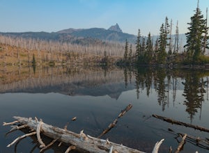
Backpack to Square and Booth Lakes
2.08 mi / 240 ft gainThis is an easy access, fairly short backpacking trip to a high mountain lake, which is good for kids. A super dusty, dry and smoke permeated trip to the base of Three Fingered Jack. Forest fires raging throughout the northwest poured smoke in to the entire western half of the state during this A...Read more -
Sisters, Oregon
Three Fingered Jack Loop
3.824.07 mi / 3537 ft gainBegin this 2-3 day backpacking trek at the Santiam Pass trailhead off Highway 20, 31 miles east of Detroit and 21 miles west of Sisters, Oregon. You can begin the loop either north on the PCT or East on trail #4014 towards Square Lake (as it is a loop) I would recommend heading east. It's a 2.2 ...Read more -
Marion County, Oregon
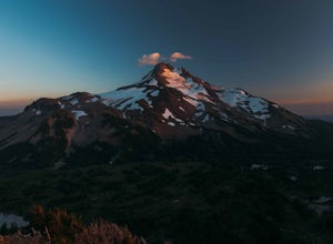
Explore Mt. Jefferson
5.0I went for a quick overnighter. The end of August is great for weather, very little bugs, and perfect time to meet and chat with PCT through hikers.The weather was absolutely perfect for night photography and lounging around camp. It's also one of the best views in Oregon if you ask me.If you're ...Read more -
Marion County, Oregon
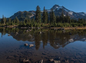
Hike Mt. Jefferson's Park Ridge
5.07.4 mi / 1500 ft gainFrom the Breightenbush Lake PCT trailhead (5,600ft Elevation) you hike through a thick forest until you reach an old burn area. This area was burned from a forest fire and has rebirthed lush green plants and bushes to help feed all the animals in the area. After a mile of climbing through the bur...Read more

