Culver, Oregon
Top Spots in and near Culver
-
Bend, Oregon
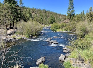
Deschutes River Loop via Farewell Bend Park
1.14 mi / 62 ft gainDeschutes River Loop via Farewell Bend Park is a loop trail that takes you by a river located near Bend, Oregon.Read more -
Sisters, Oregon
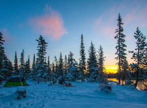
Camp at Big Lake
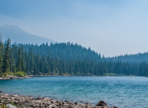
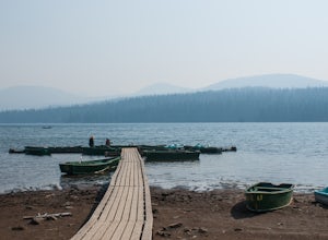
The crystal clear waters of Big Lake sit at an elevation of 4,600 ft. in the Willamette National Forest, on the western slopes of the Cascade Mountain Range. The Big Lake Campground (N 44 22.439 W 121 53.599) lies on the western shore of Big Lake, at the top of the Santiam Pass near Hoodoo Ski Re...Read more -
Deschutes County, Oregon
Dee Wright Observatory
4.70.93 mi / 20 ft gainOn your way to Proxy Falls from Bend? Stop by the Dee Wright Observatory to take some photos of the gorgeous mountains. The Observatory is at the summit of McKenzie Pass in Oregon's Cascade Mountains. Built right in the middle of a large lava flow, the open structure itself is actually construct...Read more -
Bend, Oregon
MTB on Phil's Trail Single Track
5.0The Phil's Area Trail System is the go-to trail system for mountain biking in Bend. Even the other trails in the region that aren't actually part of the Phil's Trail System feed into or connect to trails that feed into Phil's.According to the locals, the boundaries of the Phil's Area Trail System...Read more -
Idanha, Oregon
Hike Grizzly Peak
4.510 miAfter leaving your car at the Pamelia Lake trailhead, hike 2.3 miles along the trail following Pamelia Creek. The Grizzly Peak trailhead will be on the right just before the lake, which you should check out before or after your hike up to Grizzly Peak—there are several campsites around the lake t...Read more -
Idanha, Oregon
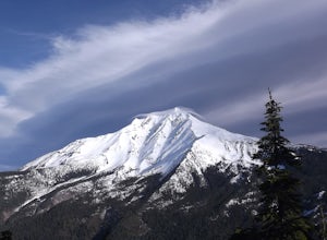
Hike up the South Slopes of Mount Jefferson
15 mi / 7400 ft gainSet out from Pamelia Lake Trailhead through dense old growth forest. You'll see giant cedars, mixed firs and stunning mountain streams carving their way thru very green forest. After a couple miles, you'll reach Pamelia Lake. This is a great place to grab a snack, water, take photos and camp if y...Read more -
Idanha, Oregon
Hunt's Cove via Pamelia Lake Trail
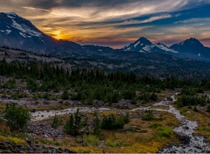
14.74 mi / 3150 ft gainThis loop through the Pamelia Lake Limited Entry Area is one of the premier backpacking trips in the Mount Jefferson Wilderness. The trail offers sustained up-close views of Mount Jefferson and several lookout points provide panoramic views of the western Oregon Cascades. The several large back...Read more -
Idanha, Oregon
Pamelia Lake Trail
4.04.37 mi / 906 ft gainPamelia Lake Trail is an out-and-back trail that takes you by a lake located near Idanha, Oregon.Read more -
Detroit, Oregon
Russell Lake via Whitewater Creek Trailhead
4.811.4 mi / 1926 ft gainThis hike begins 7.5 miles down Whitewater Road at the Whitewater Trailhead, about 10 miles east of Detroit Lake. The road is bumpy, but can be navigated at slow speeds, even without four-wheel drive. Make sure to fill out a wilderness pass once you arrive at the trailhead. The trail is very wel...Read more -
National Forest Development Road 4220, Oregon
Hike to Gifford Lake
3 mi / 500 ft gainSet out at the Lower Lake trailhead along trail #717. After only half a mile the trail opens up to Lower Lake, with views of Olallie Butte. The trail winds around the north east side of the lake and you come to a junctions with trail #706. From here take the left onto #706 and continue about .6 o...Read more -
National Forest Development Road 4220, Oregon
Olallie Lake North Basin Loop
12.05 mi / 2021 ft gainBegin at the Lower Lake Campground and take the Lower Lake trailhead. The best direction to hike is counter clockwise, however you can do either. Continue along Trail #717 and very shortly you come out to Lower Lake featuring Mt. Jefferson as the backdrop. From here keep hiking and you reach yo...Read more -
Bend, Oregon
Tam McArthur Rim, Green Lakes, Park Meadow Tie Loop
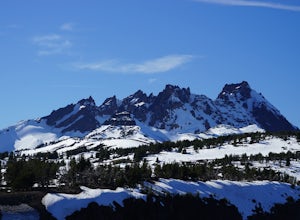
3.322.58 mi / 3675 ft gainThis loop trip around Broken Top is one of the premier backpacking loops in Oregon. The trail winds past numerous alpine lakes, including the popular Green Lakes area, and offers near-constant views of Broken Top, the Three Sisters, and Mount Bachelor. To top it all off, the clear skies typical o...Read more -
Bend, Oregon
Hike Tam McArthur Rim Trail
5.05.2 mi / 1500 ft gainThe Tam McArthur Rim Trail is a day hike in the Three Sisters Wilderness that will have you gaining about 1,500' of elevation for beautiful views of Three Creek Lake and the surrounding Three Sisters Mountains. On a clear day you can also catch a peak of Mt. Bachelor Ski Area. The trail is less ...Read more -
Prineville, Oregon
Fly Fish Crooked River
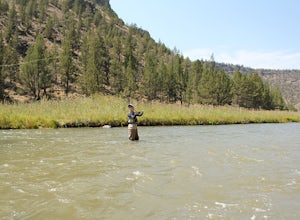
5.0Head East out of Bend, Oregon towards Prineville Reservoir State Park and Highway 27, which runs along the Crooked River. It is about an hour outside of Bend. Once you reach Highway 27 (Crooked River Highway), there are several campgrounds and pull-outs along the side of the road where you can st...Read more -
Sisters, Oregon
Duffy Lake Trail
6.92 mi / 869 ft gainDuffy Lake Trail is an out-and-back trail that takes you by a lake located near Idanha, Oregon.Read more -
Sisters, Oregon
Backpack to Santiam Lake via Duffy Lake Trailhead
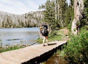
9.94 mi / 1362 ft gainYou start by weaving through an old-growth forest, gaining a little elevation, appreciating the shade, before you come up out and into the alpine forest the majority of the hike will take place in. You will quickly reach your first of many intersections within ~.1 mile into the trail. Be sure t...Read more

