Culver, Oregon
Top Spots in and near Culver
-
Shaniko, Oregon
Explore Shaniko's Ghost Town
Heading south from Wasco, the scenery trades off between new farms and old abandoned homesteads. Most areas are fenced off along the road to keep in the roaming cattle, but now and then there is access to adventure off and visit the places that the settlers decided on in the 18-1900's.About 50 mi...Read more -
Sisters, Oregon
Hike around Clear Lake
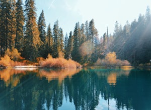
4.74 miOnce you arrive at Clear Lake, I suggest to start the relatively flat hike around the lake. You'll walk through a beautiful forest with peek-a-boo views of the stunning lake. The hike around the full lake may take a few hours, so if you're not staying the night, make sure you have enough time to ...Read more -
Sisters, Oregon
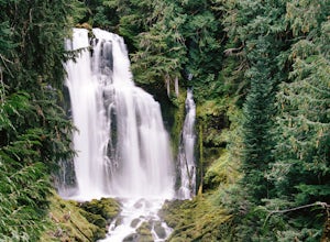
Sahalie and Koosah Falls Loop
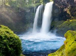
4.82.42 mi / 545 ft gainThis loop might be on the shorter side, but the hike is more than worth it for the scenery. Start at Sahalie Falls, a 100-foot tall waterfall pouring into the river below and covering the moss-covered valley with cool mist. Continue down the trail, walking past the 70-foot Koosah Falls, and finis...Read more -
Linn County, Oregon
Koosah Falls Trail
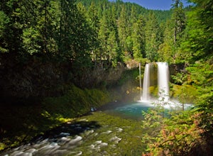
5.00.86 mi / 180 ft gainKoosah Falls Trail is an out-and-back trail that takes you by a waterfall located near Sisters, Oregon.Read more -
Bend, Oregon
Boyd Cave
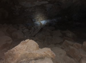
5.00.69 mi / 66 ft gainLocated 20 miles southeast of Bend, Boyd Cave is a well preserved lava tube stretching close to a mile. To get there, take Highway 97 South through Bend and turn left on China Hat Road. Go straight for exactly 9 miles. Turn left at mile 9 onto the trail at FS242. You will know it has been 9 miles...Read more -
Linn County, Oregon
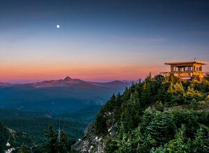
Coffin Mountain Fire Lookout
5.02.67 mi / 873 ft gainCoffin Mountain Fire Lookout is a beautiful day hike that takes you to its summit at 5771 feet elevation, covering roughly 1070 feet elevation gain. To get to the Coffin Mt. trailhead from Detroit OR, travel east on Highway 22 for approximately 19.5 miles to Forest Road 11 (Straight Creek Road)....Read more -
Bend, Oregon
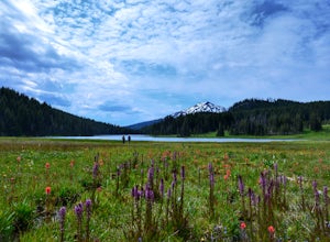
Camp at Todd Lake
4.0Todd Lake is a beautiful yet small lake just 24 miles West of Bend. Its location is perfect for accessing Broken Top Mountain, and even better for the view of Mount Bachelor.Spend a day at Todd Lake and enjoy fishing (mostly rainbow trout), swimming, and free access to three different locations o...Read more -
Foster, Oregon
Hike the Middle Pyramid
4.5The Three Pyramids, half as tall as the better-known Three Sisters, are beautiful U-shaped glacial valleys, remnants of the Ice Age.To reach the top of Middle Pyramid, leave from the #3380 trailhead at the west end of the parking area. Early on there is a creek crossing (the bridge was still wash...Read more -
Lane County, Oregon
Linton Falls
4.54 mi / 900 ft gainNOTE: There is no development of viewing areas or trails, which makes for more of a wilderness experience than other waterfalls in the region. There may also be fallen trees blocking the trail, making this adventure more challenging. Hiking to Linton Falls accounts for the two larger waterfalls...Read more -
Bend, Oregon
Deschutes River Trail: Benham Falls to Slough Meadow
5.04.51 mi / 364 ft gainDeschutes River Trail: Benham Falls to Slough Meadow is an out-and-back trail that takes you by a river located near Bend, Oregon.Read more -
Bend, Oregon
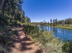
Bike or Hike The Deschutes River Trail
22 mi / 1280 ft gainThe Deschutes River Trail is a must do mountain bike ride or hike in between Sunriver and Bend, Oregon. The river varies from calm water to waterfalls. The trail follows along the river and goes through pine forests, meadows, and lava flows. Most of the single track is smooth with a few more tech...Read more -
Bend, Oregon
Tumalo Mountain Trail
4.6There is an official trail to the summit that begins just North of the Dutchman Flat Sno-Park parking area. The trail is signed and states 1.5 miles to the summit. When there is snow on the ground, you will not see the the official trail. You will need snowshoes or skins, but you just head straig...Read more -
Bend, Oregon
Tumalo Mountain Trail
5.04.03 mi / 1430 ft gainStart by parking at Dutchman Flat Sno-Park, which is located just opposite to the base area at Mt. Bachelor. If you're doing this adventure during the summer, late spring, or early autumn you should be able to follow the Tumalo Mountain hiking trail all the way to the top. However, if you're visi...Read more -
Bend, Oregon
Nordic Ski on Mt. Bachelor
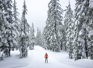
5.0The forest on Mt. Bachelor is a winter wonderland when it is covered in snow. The Mt. Bachelor Nordic Center grooms the track-set trails daily, and there are trails for all skill types. Choose your own adventure my skiing loops of all different lengths and difficulties, and then warm up by the fi...Read more -
Bend, Oregon
Snowshoe to Todd Lake
2.86 miIt’s so peaceful to be out snowshoeing through the Cascade Mountains. There are views of Mt. Bachelor, the South Sister and Broken Top on a clear day. Also, feeding the birds at the end is really fun!The trail is a little over 6 miles round trip (it's a loop if you go around the lake at the end) ...Read more -
Bend, Oregon
Green Lakes Trail
4.79.19 mi / 1240 ft gainThis 8.5 mile roundtrip hike to Green Lakes basecamp gains elevation gradually as it meanders along beautiful Fall Creek with numerous small cascades. Depending on the season (expect significant snow on the trail through early-to-mid June) the stark contrast of the snow with creek is beautiful, t...Read more


