Culver, Oregon
Top Spots in and near Culver
-
Bend, Oregon
Explore Arnold Ice Caves
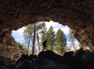
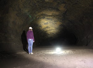
4.00.95 mi / 26 ft gain...Deep in the central Oregon Forest is a cave that is surrounded by Juniper Trees, Ponderosa Pines and the landscape of a secret volcanic underground world! This short hike is located roughly 12 miles East of Bend, and makes for an epic adventure for all to enjoy. A little history on the cave.....Read more -
Bend, Oregon
Hike Mt. Bachelor Sunrise to Summit
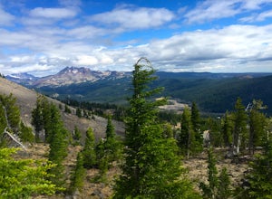
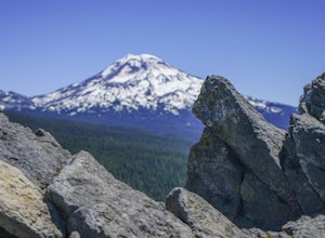
4.56 mi / 2615 ft gainThe Sunrise to Summit Trail on Mt. Bachelor is the easiest and most straightforward way for peakbaggers to reach the summit of one of Central Oregon’s classic volcano climbs. The top boasts views of Broken Top, the Three Sisters, and even Mt. Jefferson beyond. Mt. Bachelor’s official Sunrise to S...Read more -
Lane County, Oregon
Proxy Falls
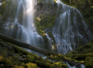
5.01.51 mi / 374 ft gainThis is one of the most amazing waterfalls in Oregon. The size is unbelievable – especially when you’re standing right underneath it, which I would recommend anyone to do (just be prepared for a misty shower) The hike is Easy! It’s only about 2 miles round trip. I remember going here when I was ...Read more -
Bend, Oregon
Mountain Bike Lava Lands Blackrock Trail to Benham Falls
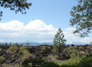
Blackrock Trail starts at the Lava Lands Visitor Center, which is about a 5-mile drive south of Bend on Highway 97. You can park at the Lava Lands Visitor Center and then take the trail marked Sun-Lava Trail. This will take you to Blackrock Trail, which you will see as a turn-off to the right abo...Read more -
Deschutes County, Oregon
Hike to Moraine Lake Beneath South Sister
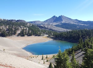
5.05 mi / 1476 ft gainThe lake is less than 3 miles from Devils Lake. Starting from the Trail head along Cascade Lakes Highway you gain 1,476 feet of elevation. You will follow the South Sisters Climbers trail, it is well traveled, and well marked. The majority of the elevation gain occurs in the first two miles, as y...Read more -
Deschutes County, Oregon
South Sister via Devil's Lake Trailhead
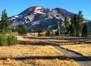
5.011.8 mi / 4900 ft gainNot only is South Sister a stunning image and visible from hundreds of miles throughout Central Oregon, but it is a great beginner climb to introduce hikers to high altitude mountain life. As long as you’re mentally prepared, have good physical endurance, and pack right, there’s no reason why thi...Read more -
Linn County, Oregon
Tamolitch Blue Pool
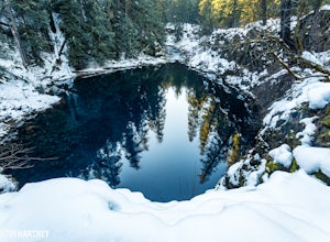
5.03.56 mi / 253 ft gainThe hike out to Tamolitch Pool, or "Blue Pool," is 2 miles each way and follows the McKenzie River to a lava flow pool. Off Highway 126 14 miles east of McKenzie Bridge, turning into the Trailbridge Campground, drive right 1/3 of a mile to the trailhead. The trail is relatively flat, which gives ...Read more -
Bend, Oregon
Sparks Lake Loop
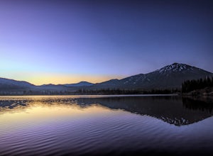
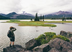
5.01.41 mi / 49 ft gainSparks Lake is the perfect place to bring the whole family for a hike and to see the beauty of the Cascade Mountains reflecting on the water. This spot is slightly typicaly less crowded than nearby lakes and this trail tends to be less popular than other trails around Sparks Lake. Don't expect to...Read more -
Bend, Oregon
Explore the Lava River Cave
5.0Located just 12 miles South of Bend and 5 miles Northeast of Sunriver in the Deschutes National Forest, the Lava River Cave is a unique experience the whole family can enjoy. To get there from Bend, drive South on Highway 97 for about 10 miles until you see a large sign for the Lava Lands Visitor...Read more -
Lane County, Oregon
Substitute Point via Foley Ridge Trail
9.75 mi / 1900 ft gainThis is a viewless hike until you reach Substitute Point. You are then rewarded with an amazing view. From the trailhead (#3511) you will travel 4.3 miles on an unmaintained trail into the Three Sisters Wilderness to the junction of Substitute Point. The trail has lots of fallen trees you must c...Read more -
Bend, Oregon
Camp Along the Shore at Sparks Lake
4.5Just a quick 26-mile drive from Bend you'll find Sparks Lake, where shallow water, amazing lakeside camping grounds, and the possibility of catching a glimpse of the Aurora Borealis make for some of the best weekend camping in Oregon.Pay for a site or park along the road before you come to the "C...Read more -
Bend, Oregon
Boat-In Camping at Sparks Lake
5.0Looking for the beauty and serenity of a backcountry campsite, but with the convenience of car camping? These 20+ secluded paddle-in campsites along the shoreline of Sparks Lake are just for you. Park your car, load up your watercraft of choice with all of your camping supplies, and paddle out to...Read more -
Maupin, Oregon
Fly-Fishing the Lower Deschutes River
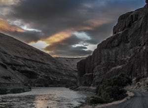
5.0Spending a day on the lower Deschutes is as rewarding as it gets for a fly-fisherman. The canyon is incredibly beautiful, and the fish are some of the most colorful and athletic you can catch.The mighty Deschutes River is a stunning, blue-ribbon river where people come to fly-fish from around the...Read more -
Lane County, Oregon
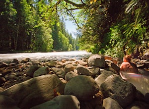
Bigelow Hot Springs
2.0Unlike many other springs you'll find, this pool has basically no barriers to entry – it is accessible via a short hike, has no fee, and is available year-round. While the temperature is less than 100 degrees, the scenic surroundings make up for the slightly less than hot water.Read more -
Mitchell, Oregon
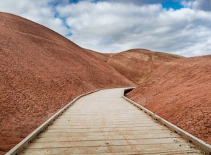
Walk the Painted Cove Loop Trail
4.00.2 mi / 40 ft gainTo get to the trailhead, use the US highway 26 which is the only way you can go to the Painted Hills Unit. Make a turn when arriving at Burnt Ranch Rd junction. Drive up and follow the sign around 6 miles. The trail junction is where you passed the Carroll Rim Trail and Painted Hill Overlook. Tur...Read more -
Foster, Oregon
Iron Mountain
4.71.79 mi / 610 ft gainGetting There There are a couple of different routes to the summit of Iron Mountain. This adventure article focuses on the shorter but more strenuous hike to the summit of Iron Mountain. To get there, drive to the upper trailhead (Trail # 3389) via Highway 20. Take Forest Service Road (FSR) 035 ...Read more

