Culver, Oregon
Top Spots in and near Culver
-
Bend, Oregon
Deschutes River Trail: Meadow Day Use Area
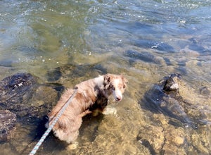
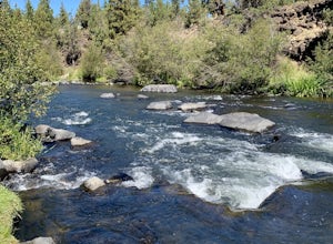
5.06.6 mi / 279 ft gainDeschutes River Trail: Meadow Day Use Area is an out-and-back trail that takes you by a river located near Bend, Oregon.Read more -
Sisters, Oregon
Snowshoe to the Mountain View Shelter
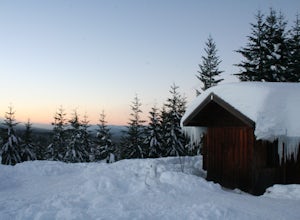
5.04 mi / 500 ft gainA short hike from the sno-park, the snow shelter is within an hour's reach of the trailhead. Make sure to print a trail map of the area's routes ahead of time, or take a picture of the map provided in the parking lot, as the network of trails can get you a little lost.From the parking lot, make s...Read more -
Bend, Oregon
Tumalo Falls
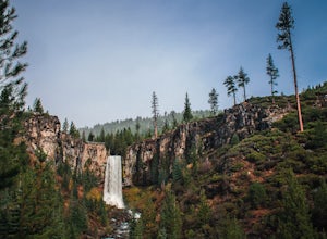
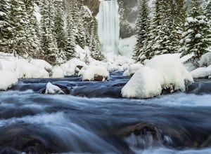
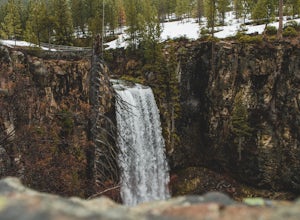
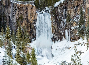
4.40.42 mi / 62 ft gainThe viewpoint is only footsteps from the parking area, and gives the best view of the 89-foot falls. A half mile trail leads visitors up to the upper viewpoint, right next to the falls. From there, Middle Tumalo Falls is around one and a quarter miles up the trail and Happy Valley is around three...Read more -
Bend, Oregon
Tumalo Creek Loop
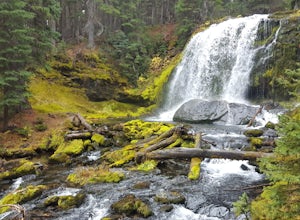
5.09.79 mi / 1437 ft gainThis Loop begins at the Tumalo Falls View Point; however, the trail continues for another 3 miles. Although the first waterfall is certainly spectacular, this creek has cascading falls about every half mile. These water falls are indicative of the famous geology in the Three Sisters Wilderness....Read more -
Bend, Oregon
Snowshoe or XC Ski to Tumalo Falls
3.55 mi / 500 ft gainIf you are looking to Hike to Tumalo Falls in any season other than winter, click here!In the summer, Tumalo Falls can be a great destination to drive up and hang out due to the fact that you can park near the base of the falls. Because of this, it can get quite crowded! However, in the winter, t...Read more -
Bend, Oregon
Tumalo Falls Loop
6.87 mi / 1237 ft gainTumalo Falls Loop is a loop trail with stunning scenery including the adventure titled, Tumalo Falls. This trail is located near Bend, Oregon.Read more -
Bend, Oregon
Tumalo Falls and Double Falls
5.02.01 mi / 318 ft gainTumalo Falls and Double Falls is an out-and-back trail that takes you by two stunning waterfalls located near Bend, Oregon. This trail is dog friendly on-leash.Read more -
Bend, Oregon
Deschutes River Trail: Lava Island Trailhead to Benham Falls
13.13 mi / 673 ft gainDeschutes River Trail: Lava Island Trailhead to Benham Falls is an out-and-back trail that takes you by a river located near La Pine, Oregon.Read more -
Detroit, Oregon
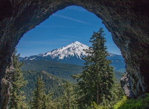
Boca Cave & Triangulation Peak
4.04.75 mi / 1053 ft gainTriangulation Peak, Spire Rock and Boca Cave TH #3372 The trail starts on level ground where you travel east along the top of the ridge. There are multiple trees that have fallen across the trail making the hike quite adventurous. Some trees you'll go over and some you will need to go under. Dep...Read more -
Lane County, United States
Backpack the Obsidian Area
4.46 mi / 1800 ft gainThe Obsidian area is at least six miles from the closest trail head and 1800 feet of elevation gain. The best way to see the area is to plan a multi-day backpacking adventure. It is limited entry which is strictly enforced by the Forest Service. Only 30 day hikers and 40 overnight hikers are al...Read more -
Lane County, Oregon
Summit Middle Sister via Renfrew Glacier
20 mi / 6000 ft gainIf you’ve been anywhere near Central Oregon, you’ve seen the Three Sisters Mountains dominate the skyline. Each of these volcanoes exceeds 10,000 ft. and are some of the highest peaks in the state of Oregon. Though they are truly considered sister peaks to one another, each has unique climbing ro...Read more -
Deschutes County, Oregon
Broken Top Trail to No Name Lake
4.74.84 mi / 1198 ft gainThe hike takes you along a glacial lake and to unbeatable mountain views at the end. It’s a hidden gem! The trail isn’t marked and the best way to get there is know someone that’s been before. The lake is unbelievably beautiful with deep blue glacial water and the view of the mountains at the end...Read more -
Bend, Oregon
Hike Bessie Butte
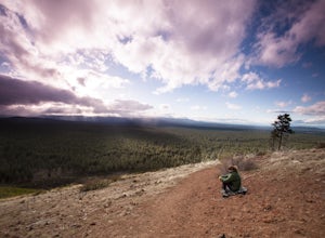
4.41.5 mi / 500 ft gainJust a mere 15 minutes outside of Bend, Oregon the Bessie Butte Trail is a wonderfully scenic hike to overlook Bend on one side and the Deschutes National Forest on the other. The butte provides an excellent view of the surrounding mountains of which there are many: Mount Bachelor, The South Sist...Read more -
Lane County, Oregon
Camp at Scott Lake
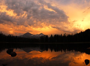
Scott Lake Campground is truly a hidden gem off the McKenzie Pass Scenic Drive. Nestled right next to the Mt Washington Wilderness Area, this small campsite with only 20 primitive sites lining the lake gives spectacular views over toward the Three Sisters to the South-East.To get there - turn ont...Read more -
Lane County, Oregon
Tenas Lakes via Benson Lake Trail
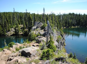
3.54.93 mi / 755 ft gainStarting from Scott Lake in the Willamette National Forest, take the Benson Lake Trail head that starts at the end of the road. This climbs gradually up to Benson Lake, a large, deep, cold lake. From there follow the trail up until you see a junction and a sign to Tenas Lakes. Follow this trail u...Read more -
Linn County, Oregon
Mountain Bike the McKenzie River Trail
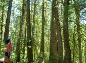
26 mi / -2200 ft gainMountain biking the McKenzie River Trail should be on every serious mountain biker's to-do list, since this trail has repeatedly been cited as the best mountain biking in the United States. The whole trail is an all-day, 26 mile epic, losing 2200 feet of elevation as it parallels the McKenzie Ri...Read more

