New Mexico
Looking for the best hiking in New Mexico? We've got you covered with the top trails, trips, hiking, backpacking, camping and more around New Mexico. The detailed guides, photos, and reviews are all submitted by the Outbound community.
Top Hiking Spots in and near New Mexico
-
Tijeras, New Mexico
Sandia Crest Trail
26.24 mi / 5528 ft gainThis point-to-point hike took me about 11.5 hours to complete, however I consider myself to be in decent hiking shape and was moving at about 2.5 miles per hour for the majority of the hike. I would give yourself ample time if you want to complete this in 1 day or you can back country primitive c...Read more -
Gap Road Southeast, New Mexico
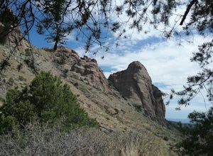
Hike Windmill Canyon
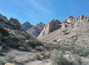
3.5 mi / 1200 ft gainThis trail starts as a jeep road off Gap Road. Eventually it turns into just a hiking trail. The climb is moderate and has some very nice views along the way. Some of the cliff are quite impressive. Nice plants also can be seen. This is BLM property so BLM rules apply.Read more -
Red River, New Mexico
Hike Colombine Trail
8.5 mi / 1935 ft gainThis moderate trail is accessed from the Columbine campground on Highway 38. It will be on your right side when traveling east from Questa. Drive to the back end of the campground, where there are several spaces for parking. The moderate version of this hike will travel about 4 miles south into t...Read more -
Catron County, New Mexico
Hike the Catwalk Trail
1 miGreat hike along a canyon above Whitewater river. You descent to the river bed when there is no high water. There is a picnic area and a place to relax along the river. Walking on the planks is quite fun.Read more -
Sandia Park, New Mexico
Golden Open Space Mesa Trail Loop
5.02.07 mi / 131 ft gainGolden Open Space Mesa Trail Loop is a dog and family-friendly loop trail located near Sandia Park, New Mexico. The trail is open year-round and offers expansive views of the valleys and mountains alongside Juniper and Pinyon trees. These trails are used by mountain bikers as well, so please keep...Read more -
Tijeras, New Mexico
Hike the Upper Faulty Loop
5.4 mi / 1040 ft gainLoop: South Crest Trail > Lower Faulty Trail > Upper Faulty Trail > South Crest Trail The trail starts at the Canyon Estates Trailhead along the South Crest Trail. You'll follow this trail for 0.8 miles before you reach the junction for the Lower Faulty Trail. This is the steepest part o...Read more -
Deming, New Mexico
Hike the Lovers' Leap Trail
1.1 mi / 790 ft gainThis a short but steep trail to a saddle in the mountains with wonderful views of the surrounding mountains and valleys below. The rock formations are quite impressive. If you like solitude and quiet this is the place to go. Lots of cacti and juniper trees. If you are lucky you will be able to se...Read more -
Dell City, New Mexico
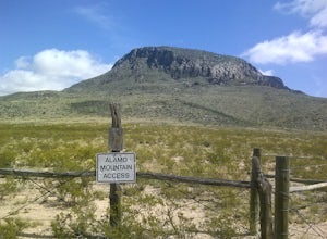
Hike up Alamo Mountain
4 mi / 1500 ft gainThere is actually not a trail. You will have to scramble up the mountain. There are good views of some very nice petroglyphs and great views of the Otero Mesa from the top.Read more -
La Senda de Medio Trailhead, New Mexico
Hike La Senda de Medio Trail
5 miIf you find yourself in Taos for the weekend, the La Senda del Medio trail is a perfect hike to add to your adventure. About 20 minutes south of town and located in Rio Grande del Norte National Monument, this trail follows the Rio Grande for 2.5 miles and connects 5 different campgrounds. The tr...Read more -
Tularosa, New Mexico
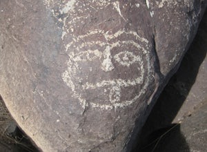
Visit the Three Rivers Petroglyph Site
0.5 miThe site is North of Tularosa, NM and is easily accessible. There is good parking and the trail is not very difficult to walk. There are many petroglyphs to be admired. There are good views of the Tularosa basin and the Sacramento mountains. It is best not to go in the summer as it is very hot an...Read more -
Cedar Crest, New Mexico
Tree Spring Trail
5.04.11 mi / 984 ft gainTree Spring Trail is an out-and-back trail where you may see beautiful wildflowers located near Sandia Park, New Mexico.Read more -
Las Cruces, New Mexico
Hike the Picacho Mountain
3 mi / 1200 ft gainThis is a somewhat strenuous hike up Picacho Mountain. The trail is 3 miles round trip and has an elevation gain of 1200 ft. Great views from the top and also many cacti species can be seen along the trail.Read more -
2572-2598 Desert Wind Way, New Mexico
Explore the Dona Ana Mountains
5.02 mi / 1000 ft gainThe Dona Ana Mountains offer a variety of outdoor fun. Hiking, rock climbing, wildflowers and petroglyphs. There are several different ranges to explore with arches, steep cliffs and also easy trails. The elevation gain changes depending which trails you decide to take. You can also access the...Read more -
Lamy, New Mexico
Hike to the Happy Valley Overlook in the Galisteo Basin Preserve
1 mi / 150 ft gainThe Galisteo Basin Preserve south of Santa Fe, New Mexico is community conservation area of some 10,000 acres with 28 miles of publicly accessible trails for hikers, mountain bikers, and equestrians.The Happy Valley Overlook is a great, quick way to get an epic view of a large portion of Galisteo...Read more -
Faywood, New Mexico
Hydra Trail in City of Rocks State Park
3.66 mi / 240 ft gainStart the hike from the visitor center. Hike toward the botanical garden and continue on the trail around the rock formations. You can wind your way through the taller rocks and enjoy the view! Connect to the other trails in the park for some additional hiking. There is little shade so bring plen...Read more -
Rincon, New Mexico
Rincon Petroglyphs
2 mi / 500 ft gainStarted my journey right after I park on the dirt that passes under the interstate. Headed north up the hill passed an old mine and continued until I reached the arroyo. Climbed around the arroyo to see the different petroglyphs. Good views of the Rio Grande valley below.Read more

