New Mexico
Looking for the best hiking in New Mexico? We've got you covered with the top trails, trips, hiking, backpacking, camping and more around New Mexico. The detailed guides, photos, and reviews are all submitted by the Outbound community.
Top Hiking Spots in and near New Mexico
-
Las Cruces, New Mexico
Hike the Baylor Pass West Trail
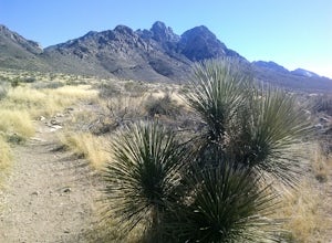
6.3 mi / 1548 ft gainStart your hike from the parking lot of Baylor Pass Road. The trail starts to climb gently first and then gradually the climb gets steeper, but nothing too difficult. There is nice desert vegetation along the trail and very good views of the Organ Mountains and valley below.Read more -
Alamogordo, New Mexico
Hike Alamo Canyon Loop Trail
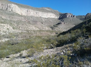
-6.6 mi / 1205 ft gainAlamo Canyon Loop trail is a 6.6 miles loop in the Lincoln National Forest. It is best to start the trail from the junction of TR 107 Roundup Ground trail and hike counter clock wise. There are spectacular views of the canyon and the Sacramento Mountains. There is great variety of desert flora a...Read more -
Sunland Park, New Mexico
Hike Mount Cristo Rey Trail
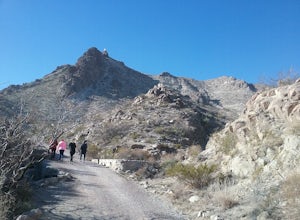
4.6 mi / 649 ft gainThe trails winds its way up the mountain with several stopping places with crosses and other religious artifacts. On top of the mountain is a very large statue of Christ. This hike provides good views of the Franklin Mountains, El Paso, and Mexico. It is best to hike this trail with a group to be...Read more -
18 Faulkner Canyon Road, New Mexico
Explore Faulkner Canyon
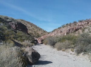
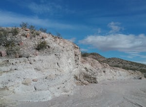
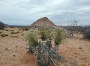
3 mi / 500 ft gainThe drive in the canyon is very sandy so a good vehicle is required. In the canyon is the black hill where Billy the Kid and 3 of his friends were hiding out. Was not able to find their names inscribed on one of the rocks. There are also remnants of an old ranch. Nice walk along a sandy arroyo w...Read more -
16085-16107 North Valley Drive, New Mexico
Explore Foster Canyon.
2 mi / 300 ft gainFoster canyon is along hwy NM 185 near Buckle Bar Canyon and Faulkner canyon. It is a fairly easy walk in a sandy arroyo. There some interesting rock formations there. Also by climbing some of the hills off the arroyo you will have some good views of the surrounding mountains.Read more -
County Road A005, New Mexico
Hike to Cox Peak and Mount Riley
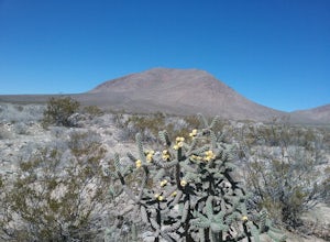
5 mi / 1500 ft gainDrove from El Paso to cox Peak this morning. About 45 miles from El Paso. The roads to the mountains are in good condition. Did not hike up the mountain but hiked around the base and enjoyed the views and the cacti. There is not a trail to the top of the mountains and scrambling up the mountain s...Read more -
Santa Fe County, New Mexico
Santa Fe Baldy Via Windsor Trail
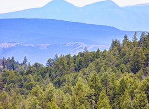
13.55 mi / 3140 ft gainSanta Fe Baldy Via Windsor Trail is an out-and-back trail that provides a good opportunity to view wildlife located near Santa Fe, New Mexico.Read more -
Cedar Crest, New Mexico
Sulphur Canyon #281 and Cienega Horse Bypass #266 Loop
4.02.25 mi / 469 ft gainSulphur Canyon #281 and Cienega Horse Bypass #266 Loop is a loop trail that provides a good opportunity to view wildlife located near Cedar Crest, New Mexico.Read more -
Church Rock, New Mexico
Explore Kit Carson Cave
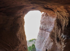
0.6 mi / 65 ft gain...When you research hiking gems to explore in New Mexico, this cave most likely won't be one of the first ones to pop up. This amazing landmark, called Kit Carson Cave, is a short drive off the I-40 and is located near the town of Gallup. After a long day of driving, or if you're just looking ...Read more -
Las Cruces, New Mexico
Organ Needles Trail
5.88 mi / 3333 ft gainThe Organ Needles Trail in Las Cruces, New Mexico is a challenging hike that rewards with stunning views. This 5.88-mile round trip trail is rated as difficult, with a steep incline and rocky terrain. The trail begins at the Baylor Canyon Road trailhead and ascends to the Organ Needle Peak, the h...Read more -
Doña Ana County, New Mexico
Explore Providence Cone
4.02 miWe drove through the desert on a winding dirt road. Once at the cone we started our climb to the top. The ascent is not too difficult and once on top we had very good views of the surrounding landscape. Lots of interesting rock formations and also plants. There are several interesting petroglyp...Read more -
Pecos, New Mexico
Hike the South Pasture Loop Trail
3.8 mi / 196 ft gainThe South Pasture Loop trail, while part of the Pecos NHP, isn't in the main park. Currently, this trail is only open on the weekends and the road gate closes at 1pm. The trail itself closes at 3pm, and takes about 2-3 hours unless you plan on hiking for speed. No pets allowed. 0.7 miles down th...Read more -
Las Cruces, New Mexico
Organ Needle from Baylor Canyon Road
5.07.67 mi / 3658 ft gainOrgan Needle from Baylor Canyon Road is an out-and-back trail that provides a good opportunity for scenic views located near Las Cruces, New Mexico. Keep in mind on the trail, there isn't much in terms of shade or coverage, so please pack accordingly and with sufficient water for the trail. There...Read more -
Albuquerque, New Mexico
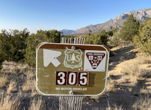
Michael M. Emery and Trail 305 Loop
5.03.17 mi / 335 ft gainThe Michael M. Emery and Trail 305 Loop in Albuquerque, New Mexico, is a moderately challenging hiking trail. It spans approximately 3.17 miles and is primarily used for hiking, walking, and nature trips. The trail is well-marked and offers a variety of terrain, including dirt paths, rocky sectio...Read more -
Las Cruces, New Mexico
Organ Peak Trail
5.09.92 mi / 3458 ft gainOrgan Peak Trail is an out-and-back trail where you may see beautiful wildflowers located near Las Cruces, New Mexico. This is one of the longer and more challenging hikes in the Organ Mountains. An early start is recommended to keep heat down during the warmer months as well trekking poles and p...Read more -
Vado, New Mexico
Hike the Sierra Vista Trail from Vado to Bishop's Cap
4 miStart your hike from the Sierra Vista parking lot. Proceeded NE toward Bishops Cap. At first, the trail goes through some small arroyos and is a little rocky. After about half a mile, the trail is rather flat and goes through some sandy and grassy areas. Enjoy good views of the mountains!Read more

