New Mexico
Looking for the best hiking in New Mexico? We've got you covered with the top trails, trips, hiking, backpacking, camping and more around New Mexico. The detailed guides, photos, and reviews are all submitted by the Outbound community.
Top Hiking Spots in and near New Mexico
-
Ramah, New Mexico
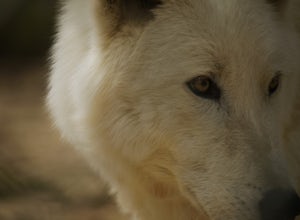
Explore the Wild Spirit Wolf Sanctuary
5.01 miWild Spirit Wolf Sanctuary is an incredible place that has 3 main focuses: rescue, sanctuary and care, and education. It's important to keep these in mind when visiting, but also when you're exploring elsewhere.As WSWS is a bit far from your typical town, I recommend preparing in advance if you a...Read more -
Santa Fe, New Mexico
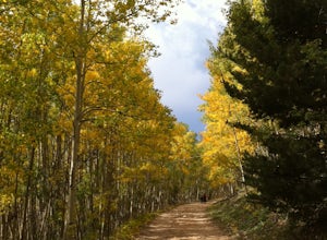
Hike or Bike Aspen Vista
3.512.1 mi / 2100 ft gainAspen Vista Road (Forest Road 150) starts at an elevation of 10,000 feet and climbs up through a large stand of beautiful aspen and pine trees to the summit of Tesuque Peak at an elevation of 12,045 feet (note the Aspen grove is one large living being as all the roots are interconnected). These ...Read more -
Rio Arriba County, New Mexico
Backpack the Vacas Trail Loop
4.015 mi / 1000 ft gainYou start at the hiking at base of the the San Pedro Wilderness at the San Gregorio Lake Trailhead! This particular hike is called the Vacas Trail loop.For directions: Take US 550 to Cuba (north west of Albuquerque), turn east on NM 126 and go for about 9 miles. Just past the community of Deer La...Read more -
Catron County, New Mexico
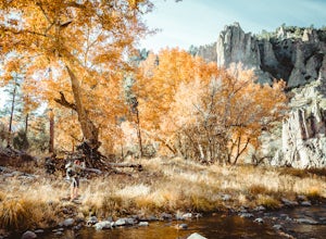
Hike to Jordan Hot Springs via Little Bear Canyon Trail
13.5 mi / 1500 ft gainThe Gila Wilderness is the oldest wilderness area in The United States, and Jordan Hot Springs rests right in the heart of Canyon of the Middle Fork of the Gila River, along a stretch of the Continental Divide Trail and some 7 miles from the nearest road. The most direct road by either car or tra...Read more -
Albuquerque, New Mexico
Hike La Luz Trail
5.07.2 mi / 3378 ft gainLeaving from the foothills above Albuquerque this trail leads you from the desert up to the peaks of the Sandia Mountains. You'll climb from the city at 7000 ft above sea level all the way up to 10,378 ft in altitude along a trail the changes from high desert to deep pine forest. The views alon...Read more -
Albuquerque, New Mexico
Hike the Piedra Lisa Trail
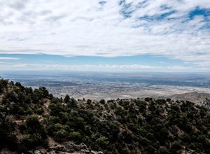
5.04.2 mi / 1000 ft gainUp near the iconic La Luz Trailhead is a smaller and somewhat hidden trail a little farther up the road, Piedra Lisa Trail. This short two mile climb to the ridge that divides the view of Albuquerque and Placitas tops out at a rocky outcrop that provides simply stellar views of the city and to t...Read more -
Tularosa, New Mexico
Hike the Alkali Flat Loop
4.04.9 mi / 52 ft gainFrom the US 70 pull into the White Sands Visitor Center. Then continue along Dunes Drive. Eventually, Dunes Drive turns into Loop Drive. At the end of this road, you will find the Alkali Flat trailhead. One of the most beautiful and potentially disorienting 5-mile round-trip treks through the de...Read more -
Ruidoso, New Mexico
Hike Perk Canyon
4.7 mi / 1000 ft gainStarting out at 7,200 feet you walk through 2 miles of relatively flat, beautiful forests and streams - at mile 2 you begin the ascent to the trail ridge with about an 800 foot elevation climb. Once you reach the top of the trail, you are surrounded by gorgeous panoramic views of both Sierra Blan...Read more -
5 Reyna Road, New Mexico
Relax in Black Rock Hot Springs
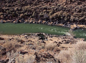
0.3 mi / 68 ft gainAt the last switchback on Country Road B-007, is where the trailhead is located. if you've gone to the lowest point possible within the canyon, right next to the river, you have gone too far and need to turn around to the last switchback. it is an easy .3 Mile trail with a 68 foot elevation drop/...Read more -
El Prado, New Mexico
Manby Hot Springs
2.31.5 mi / 300 ft gainNOTE: The Hot Springs are on private property and are no longer accessible to the public. The Basics: Hot springs abound in the Taos area. From the all-inclusive (and expensive) Ojo Caliente Mineral Springs Resort to free, primitive hot springs like this one or neighboring Black Rock Hot Spr...Read more -
El Prado, New Mexico
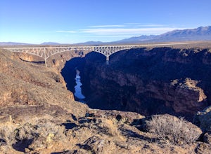
Hike the Rio Grande Gorge Bridge Trail
6 miDrive 12 miles west of Taos, New Mexico on US Hwy 64, and you'll drive directly onto the Rio Grande Gorge Bridge that spans 1,280 feet. There's a rest area to the west of the bridge with a parking lot, sitting area, and if you're lucky like we were, a converted sky blue bus selling homemade desse...Read more -
Taos Ski Valley, New Mexico
Climb Mount Wheeler
4.76.2 mi / 3083 ft gainMount Wheeler is the highest peak in New Mexico at 13,161 feet and is considered the 8th highest state peak. The hike begins just over 10,000 feet near the Bavarian Restaurant. Drive past the Taos Ski Resort and follow the signs for the restaurant until the road ends. The 6.2 mile trek begins a...Read more -
Cloudcroft, New Mexico
Camp at Bluff Springs
5.00 mi / 100 ft gainA mile up in elevation and only a few miles into Lincoln National Forest from Alamogordo, take off on the scenic Sunspot Highway that leads to the solar observation center before a short detour off a dirt road that arrives at Bluff Springs Waterfall (camping is free on all dirt roads). There you'...Read more -
Santa Fe, New Mexico
Hike to Picacho Peak and Atalaya Peak
5.0Begin this trail from the Cerro Gordo Trailhead which is only about 10 minutes from Santa Fe Plaza. You can park in the lot near the intersection of Cerro Gordo and Upper Canyon Rd. The lot will fill up on the weekends so arrive early. From the lot, take the short Nature Conservancy trail to the ...Read more -
Farmington, New Mexico
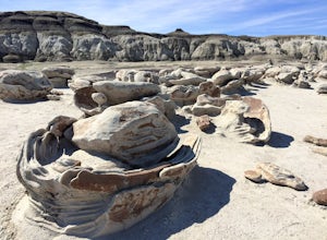
Explore Bisti Badlands/De-Na-Zin Wilderness
There are no trails or marked vista points in the wilderness so you're free to explore in any direction you please though the odds of stumbling upon anything interesting are fairly slim if you're just wandering around aimlessly. Most visitors heading to Bisti are usually on the hunt for the infam...Read more -
Jemez Springs, New Mexico
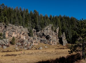
Climb Las Conchas
5.05 mi75 minutes north of Albuquerque, Las Conchas is a trailhead that sits right off the highway with two accessible, although small, parking lots. Right out of the gate the wide and well worn trail drops down to follow the river north through a wide mountain valley lined with large stands of trees, ...Read more

