New Mexico
Looking for the best hiking in New Mexico? We've got you covered with the top trails, trips, hiking, backpacking, camping and more around New Mexico. The detailed guides, photos, and reviews are all submitted by the Outbound community.
Top Hiking Spots in and near New Mexico
-
Las Cruces, New Mexico
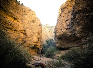
Hike the Leasburg Slot Canyon
2.4 mi / 675 ft gainLeasburg Slot Canyon is a 2.4 mile trail that offers a unique experience that is close to Interstate 25. The directions will take you to the banks of the Rio Grande where you can park anywhere along the dirt road that is convenient. This hike should only be attempted in the late fall or winter be...Read more -
Albuquerque, New Mexico
Summit South Sandia Peak
10.78 mi / 3595 ft gain*This is a loop hike so you can go either direction. I like going counterclockwise to hike the steepest part up instead of down at the end of a long hike.* You'll start out on the Three Gun Trail for about half a mile until you reach a spur to take Hawk Watch Trail. After traveling briefly on thi...Read more -
Silver City, New Mexico
Hike the Boston Hill Loop
1.5 mi / 250 ft gainThe Boston Hill Open Space is a collection of trails on what is actually three hills overlooking the town of Silver City. There are numerous vista and also several now-abandoned mines at various elevation cutting deep gorges and ravines into the hill. The primary trail is the Loop Trail which beg...Read more -
Cloudcroft, New Mexico
Osha Loop Trail
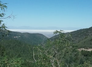
5.02.51 mi / 331 ft gainPleasant hike located in the higher elevations of the Sacramento Mountains. Fairly easy hike through forests and meadows. Very good views of the mountains, Whitesands National Monument, and Cloudcroft. Abundant wildflowers in the summer. Good opportunity to connect to other trails in the area. Mu...Read more -
Albuquerque, New Mexico
Summit Point 8300
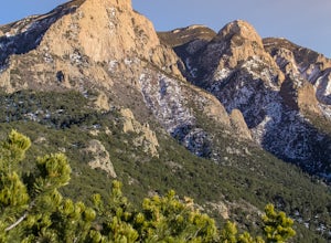
6.5 mi / 1300 ft gainPoint 8300, also nicknamed Mayan Temple by the locals, is the highest point in the Rincon Ridge. In order to reach the summit you start by following the South Piedra Lisa Trail for about 2.25 miles to the ridge. Once you reach the ridge the Piedra Lisa goes off to the right, but there is an unmar...Read more -
Red River, New Mexico
Enchanted Forest Snowplay Area
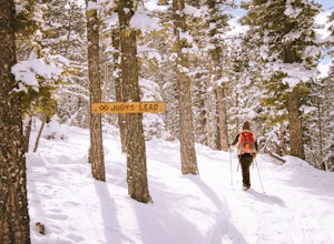
Just above the town of Red River up Bobcat Pass is the Enchanted Forest. As you approach the top of the pass you’ll see signs that point you toward the forest into what looks like a neighborhood. Trust the signs and make the turn. Follow the main road up through the neighborhood and take your sec...Read more -
15595 Baylor Peak Road, New Mexico
Hike the Rabbit Ear Plateau.
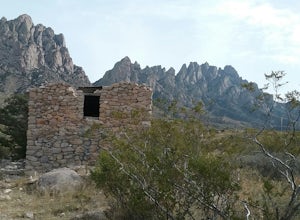
5.06 mi / 3000 ft gainPark at the small parking area of Baylor Peak rd. Start climbig up the mountain on a old jeep road. The trail becomes steeper the further up you go. Very good views of the Organ Mountains and the Mesilla Valley. Lots of wildflowers along the way in the summer and also cacti in bloom. Did not make...Read more -
Red River, New Mexico
Explore Mallette Park & Canyon
We stumbled upon this little gem as we were driving through town. This park is nestled right at the base of Mallette Canyon and has several features that becken a winter visit. Along the west side of the canyon, over the small green bridge in the park you will find yourself following along a quar...Read more -
Pecos, New Mexico
Ancestral Sites Trail
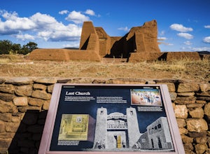
5.01.2 mi / 89 ft gainThe park is easy to get to from Santa Fe. It's about 30 miles SE on the I-25 highway that leads you through Pecos. Once at the park, the 1.25 mile loop trail begins and ends at the visitor center. Don't forget to stop in there. It's surprisingly nice with some terrific history of the area dating...Read more -
Albuquerque, New Mexico
Hawk Watch Trail
4.61 mi / 2267 ft gainThe trail starts out at the Three Guns Trailhead and has great signage as you drive to it. You'll start the hike on the Three Guns Trail for about 0.5 mile before you'll officially cross into Cibola National Forest. Once you enter there will almost immediately be a spur to the Hawk Watch Trail to...Read more -
6 1st Street, New Mexico
Explore the Geronimo Trail National Scenic Byway
65 miThis scenic highway goes through some nice country side and several old historic towns, some almost ghost towns. Lots of history and interesting places to stop. There are also festivals being held at different times of the year. Caballo Lake is also along the scenic byway .Read more -
Truth or Consequences, New Mexico
Walk the Healing Waters Trail
Walk around the downtown area of Truth or Consequences, NM and enjoy seeing the old saps and historic buildings. Take in local history and enjoy some great local food.See the full map for trail options here.Read more -
Albuquerque, New Mexico
Hike Embudito Canyon
4.04.2 mi / 1204 ft gainThis is a hiking area in the foothills of the Sandia Mountains. This route is a 3.9 mile heavily trafficked loop up Oso Ridge and down Embudito Canyon. There is plenty of room to park at the Embudito Trail Trail head, on the eastern side of Albuquerque. From the parking lot, take the center trai...Read more -
Santa Fe, New Mexico
Trail Run the Dale Ball Trails
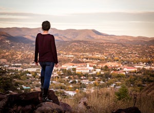
22 mi / 500 ft gainThe Dale Ball Trail system, covers a wide swath of terrain between Santa Fe County, the City of Santa Fe, the National Forest, and The Nature Conservancy with a 22 mile network of trails in the foothills of the Sangre de Cristo Mountains. Located a short distance from downtown Santa Fe, it is the...Read more -
Silver City, New Mexico
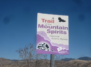
Drive the Trail of the Mountain Spirits Scenic Byway
93 miDrive the 93-mile Scenic Trail from Silver City to Pinos Altos on Hwy 15 where you can stop to visit the Buckhorn Saloon and old Opera house. From there, drive Hwy 15 through the Gila National forest to the Gila cliff dwellings where you can stop for some hiking. Hwy 15 is very narrow and windin...Read more -
Silver City, New Mexico
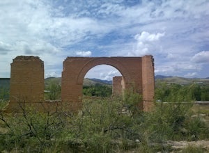
Photograph La Capilla at Sunrise
0.25 mi / 100 ft gainIn the last 1800's when Silver City was a booming mining town the quickly growing hispanic population of the Chihuahua Hill neighborhood built a small chapel aka "La Capilla" as a center of community activities including pilgrimages and the Festival of Our Lady of Guadalupe. When the statue it c...Read more

