New Mexico
Looking for the best hiking in New Mexico? We've got you covered with the top trails, trips, hiking, backpacking, camping and more around New Mexico. The detailed guides, photos, and reviews are all submitted by the Outbound community.
Top Hiking Spots in and near New Mexico
-
Bloomfield, New Mexico
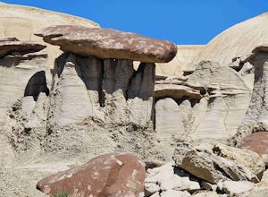
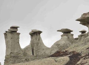
Ah-shi-sle-pah Trail
2.81 mi / 249 ft gainAh-shi-sle-pah Trail is a loop trail that takes you past scenic surroundings located near Nageezi, New Mexico.Read more -
Unnamed Road, New Mexico
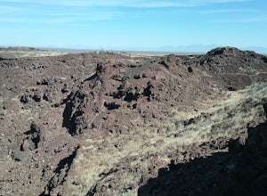
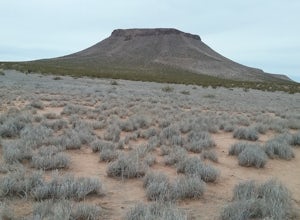
Hike the Aden Crater Trail
1.9 mi / 187 ft gainDrove fro El Paso to the crater in the Potrillo Wilderness Study area a on a series of county dirt roads. Some of the roads are quite rough. Interesting place to explore. Deep crater and large lava fields. Good views of the surrounding plains. The place is very isolated and quiet. Best to get a m...Read more -
Las Cruces, New Mexico
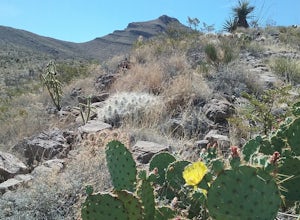
Hike the Sierra Vista Trail
29 mi / 500 ft gainThe trail follows the foothills of the Organ Mountains. The terrain is hilly but not very difficult to hike. There are some steep laces and also some sandy places. I have only hiked sections of the trail at different occasions . There are a lot of interesting plants along the trail. The trail is ...Read more -
Pecos, New Mexico
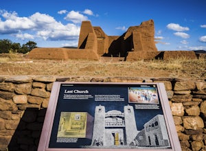
Hike the Grand Slam in Pecos New Mexico
7.5 mi / 600 ft gainPecos National Historical Park offers up the "grand slam" for hiking, which is a bit of a misnomer because they only have 3 trails and a grand slam indicates you would have completed 4 of something. In order to achieve the "grand slam" you need to hike all 3 trails in one day, completing approxi...Read more -
Silver City, New Mexico
Mountain Bike the Picnic Loop
2 mi / 350 ft gainCalled the "Berg Trail" by Silver City locals in honor of Gary Berg who pioneered the extensive trail system around Gomez Peak, the Picnic Loop beginning at the Little Walnut Creek picnic area is a great way to be introduced to the incredible mountain biking trails to be found in the area. Beginn...Read more -
Las Cruces, New Mexico
Hike to Massacre Peak
2 mi / 700 ft gainThere is not a designated trail here. You will have to find your own way up the mesa. The climb is rated as moderate is about 2 miles long. There is an elevation gain of about 700 ft. Good views from the top.Read more -
Las Cruces, New Mexico
Hike Buckle Bar Canyon
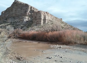
3 mi / 500 ft gainHiked the canyon after having crossed the Rio Grande in the winter, very little water in the river. I climbed several mountains with very good views of the mountains around us. Many great cacti can be seen here. Hiked about 3 miles round trip. Best hiked in the winter or spring.Read more -
Red River, New Mexico
No Name Point
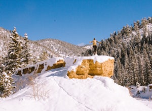
Not even a mile down Bitter Creek Rd, there’s a right-hand turn that takes you next to this spectacular rock outcropping. There's a little dirt parking area when you come down and around the turn that sits right next to Bitter Creek itself. It’d be a swell place hang out, play around on the roc...Read more -
CanAm Highway, New Mexico
Explore the Tonuco Mountain
4 mi / 800 ft gainTo get to Tonuco Mountain North of RadiumSprings , NM from Las Cruces, NM take Interstate 25 to exit 32. Once off the interstate turn left on go under the interstate. Take the first dirt road to your left and drive to the top of the canyon. If you have a 4 wheel drive vehicle you can descend into...Read more -
Mogollon, New Mexico
Explore Mogollon Historic District
Fun old town located at the bottom of Silver Creek Canyon. Many older mining buildings, mining memorabilia, a museum and hiking trails. There are a couple of restaurants open during the summer. Highway 159 to Mogollon is quite steep and scenic offering great views of the Mogollon Mountains.Read more -
Truth or Consequences, New Mexico
Walk the Paseo del Rio Trail
1 mi / 6 ft gainThis is a great scenic walk near the town of Truth or Consequences (which is a unique and fun town to explore). I stopped here to stretch my legs and take my dog on a little walk when we were making a long drive up Interstate 25. However, there is also camping here for $10 a night at a self-pay s...Read more -
Farmington, New Mexico
Bisti Badlands Trail
5.05.46 mi / 269 ft gainBisti Badlands Trail is a loop trail where you may see beautiful wildflowers located near Newcomb, New Mexico.Read more -
Alamogordo, New Mexico
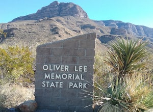
Hike Oliver Lee State Park Dog Canyon
0.7 mi / 101 ft gainThis State Park is close to the city of Alamagordo , NM. It has a nice creek with water flowing during the rainy season. The Dog Canyon hike is hard but offers great views of the canyon and the canyon walls. Superb views of the Sacramento Mountains. The historic Ranch House can be visited during...Read more -
Deming, New Mexico
Hike the Thunder Egg Trail
1.21 mi / 321 ft gainThis trail is an easy walk through cacti and desert vegetation. Hikers are allowed to collect rocks while hiking this trail. There are designated places where hikers can look for rocks. There are very good views of the Florida Mountains and the valley to the west. In the springtime many blooming ...Read more -
Glorieta, New Mexico
Hike the Glorieta Battlefield Trail
2.25 mi / 500 ft gainThis trail is a little tricky to get to, so be sure to stop at the Pecos NHP Visitor Center first for directions. You will also need to retrieve a gate code from the ranger. I would recommend picking up a guide inside the Visitor Center so you know what you're looking at on the trail (important)....Read more -
Las Cruces, New Mexico
Hike the Pena Blanca Trail
5.02.3 mi / 262 ft gainThe road to get here is a dirt road, but I was able to do it without a 4x4 or high-clearance vehicle. Once you park off to the left in the little gravel pull-off, you're going to follow the trail that is on the same side of the road. There will be a post that is red at the top (second picture) th...Read more

