Dyer, Nevada
Looking for the best photography in Dyer? We've got you covered with the top trails, trips, hiking, backpacking, camping and more around Dyer. The detailed guides, photos, and reviews are all submitted by the Outbound community.
Top Photography Spots in and near Dyer
-
Bishop, California
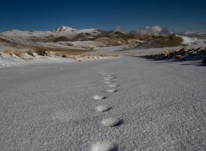
Climb White Mountain Peak
4.314 mi / 2000 ft gainNot surprisingly, White Mountain Peak is the apex of the White Mountains, which rise out of the desert floor just north of Death Valley. The White Mountains were aptly named as they are frequently covered in snow.The trailhead starts at 12,000ft and winds it's way over a few hills before the fina...Read more -
Inyo County, California
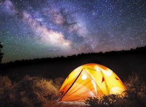
Camp in Ancient Bristlecone Pine Forest
4.0The Ancient Bristlecone Pine Forest is located in Central California quite close to the Nevada Border in the White Mountains. A short drive South from Bishop, you will come to the small town of Big Pine where there are signs leading you left on HWY 168 to the forest. You will need a decent vehicl...Read more -
Inyo County, California
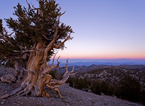
Photograph the Bristlecone Pine Forest
5.0To get to the goods head east out of Big Pine, CA on Hwy 168 into the mountains for 13 miles. Turn left (north) on White Mountain Road to the Bristlecone Pine Forest. The road winds through a beautiful forest of Pinyon Pines and Western Junipers and leads to amazing views of the rugged Sierras. ...Read more -
Inyo County, California
Schulman Grove and Methuselah Grove Loop
5.05.14 mi / 1070 ft gainThe Schulman Grove and Methuselah Grove Loop in the Ancient Bristlecone Pine Forest, located in the White Mountains, is where the 4,847-year-old Methuselah tree grows, the oldest living non-clonal organism in the world. If you're going to make hiking the Methuselah Grove more than a day trip and ...Read more -
Silver Peak, Nevada
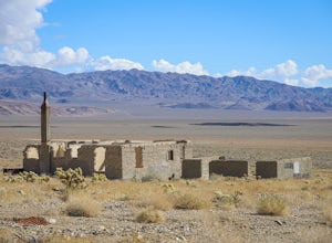
Explore the Ghost Town of Blair, Nevada
During a boom in gold mining around the towns of Tonopah and Goldfield, Nevada, a mining town called Silver Peak was established about 25 miles west of Goldfield. Land speculators purchased much of the area surrounding Silver Peak, and when the Pittsburg-Silver Peak Gold Mining Company sought a s...Read more -
Big Pine, California
Trout Fishing in the Owens River
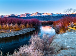
3.0Surrounded by the Sierra Nevada, Inyo, and White Mountains, the Owens River Valley is picturesque and home to some quality trout fishing on the Owens River. If you like to pair photography with fishing then this is the ideal location for you - the color pallet is beautiful, especially in the wint...Read more -
Bishop, California
Keough Hot Springs Creek
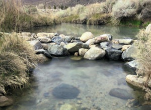
...As many of us enjoy a good hot spring to relax in, I think most will agree that it’s even better when it’s free and out in nature. If you decide to have a little bit more of a luxurious hot spring experience, you can continue to take that road about another mile to the Keough Hot Springs campi...Read more -
Mineral County, Nevada
Explore Candelaria Ghost Town
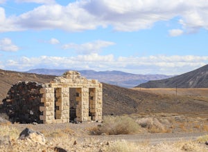
The ghost town of Candelaria lies in rural Nevada, where desolate two-lane highways give way to even quieter roads of broken up pavement. Once a booming silver town, Candelaria's isolated location is somewhat to blame for it having become the empty unpopulated place it is today. Originally settle...Read more -
Bishop, California
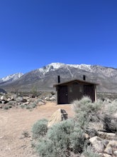
BLM Horton Creek Campgrounds
Great find! Close to Buttermilks and town. Clean vault toilets but bring your own water. The time we went there the pumps were not working. Each site has fire rings, picnic tables and latern hooks. It can get pretty windy and exposed, so bring the appropriate gear. The campground has 49 tent/RV ...Read more -
Bishop, California
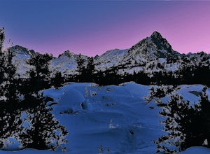
Snowshoe to Blue Lake
6.2 mi / 1350 ft gainStarting in Aspendale at 8500 feet, this 5 mile hike is very invigorating and beautiful. To get here, take hwy 395 until in Bishop. Turn onto hwy 168 until you pass the small town of Aspendale. The road dead ends about another mile up the road and you can park. Walk past the yellow gate toward la...Read more -
Mono County, California
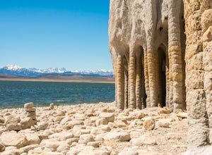
Explore Crowley Lake Columns
4.0Starting from Mammoth Lakes you head South on Highway 395 until you get to Benton Crossing Rd. (Green Church on the corner) and make a left.From Bishop you head North for about 30-40 miles until you hit Benton Crossing Rd. and make a right.From here, continue West and bending South for close to 2...Read more -
Wild Willy's Hot Spring, United States
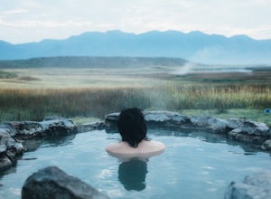
Wild Willy's Hot Spring
5.0Also known as "Crowley Hot Springs", Wild Willey's is located a short drive from Mammoth Lakes. For more information on the hot springs and the public land restoration, check out the BLM's Website. From Mammoth Lakes, head south on the 395 for 3.5 miles until you make a left at Benton Crossing Rd...Read more -
Benton, California
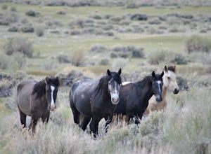
Photograph Wild Mustangs in Mono County
Since these are wild horses, tracking them can be difficult. However, they tend to play and graze in a certain field in Mono County, right outside of Mammoth Lakes and Yosemite! From CA-395 turn onto CA-120 towards Mono Lake. Take this road for 21 miles until you reach Dobie Meadows Road, a one l...Read more -
Bishop, California
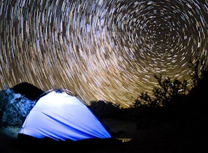
Photography in the ButterMilks
5.0The Eastern Sierras have some of the most spectacular views in the world. This area in particular is known for its rock climbing. It also has amazing opportunities for photographers.The nights during a new moon are incredibly dark and create great astro photography shots. During the day, the l...Read more -
Bishop, California
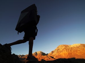
Bouldering In The Buttermilks
5.0The Buttermilks is a historical climbing area that is home to some of the worlds most famous rock climbs. It is located at the base of the Eastern Sierras near Bishop, CA. In this region there are 3 main bouldering areas: The Happies, The Sads, and The Buttermilks.The Buttermilks are massive gr...Read more -
Mono County, California
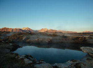
Crab Cooker Hot Springs
Getting There: Take Highway 395 heading toward Benton Crossing Road. Turn onto Benton Crossing and you’ll see an adorable wee green church. Continue two miles down the road. You’ll make a left turn and head down a dirt road. Cell service is scant in this area, so you'll probably want to...Read more

