Dyer, Nevada
Looking for the best hiking in Dyer? We've got you covered with the top trails, trips, hiking, backpacking, camping and more around Dyer. The detailed guides, photos, and reviews are all submitted by the Outbound community.
Top Hiking Spots in and near Dyer
-
Bishop, California
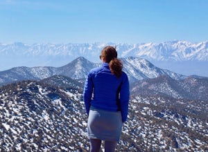
Climb White Mountain Peak
4.314 mi / 2000 ft gainNot surprisingly, White Mountain Peak is the apex of the White Mountains, which rise out of the desert floor just north of Death Valley. The White Mountains were aptly named as they are frequently covered in snow.The trailhead starts at 12,000ft and winds it's way over a few hills before the fina...Read more -
Bishop, California
Patriarch Grove Trail
0.44 mi / 95 ft gainPatriarch Grove Trail is a loop trail where you may see wildflowers located near Bishop, California.Read more -
Inyo County, California
Methuselah Trail
5.03.96 mi / 768 ft gainMethuselah Trail is a loop trail where you may see wildflowers located near Bishop, California.Read more -
Inyo County, California
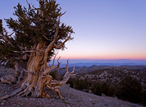
Camp in Ancient Bristlecone Pine Forest
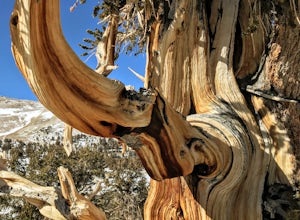
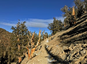
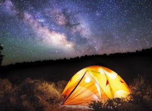
4.0The Ancient Bristlecone Pine Forest is located in Central California quite close to the Nevada Border in the White Mountains. A short drive South from Bishop, you will come to the small town of Big Pine where there are signs leading you left on HWY 168 to the forest. You will need a decent vehicl...Read more -
Inyo County, California
Photograph the Bristlecone Pine Forest
5.0To get to the goods head east out of Big Pine, CA on Hwy 168 into the mountains for 13 miles. Turn left (north) on White Mountain Road to the Bristlecone Pine Forest. The road winds through a beautiful forest of Pinyon Pines and Western Junipers and leads to amazing views of the rugged Sierras. ...Read more -
Inyo County, California
Schulman Grove and Methuselah Grove Loop
5.05.14 mi / 1070 ft gainThe Schulman Grove and Methuselah Grove Loop in the Ancient Bristlecone Pine Forest, located in the White Mountains, is where the 4,847-year-old Methuselah tree grows, the oldest living non-clonal organism in the world. If you're going to make hiking the Methuselah Grove more than a day trip and ...Read more -
Dyer, Nevada
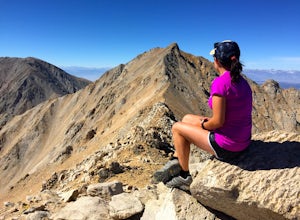
Hike Boundary Peak
5.010.4 mi / 4000 ft gainBoundary Peak received its name because it straddles the border of California and Nevada. While technically in Nevada, just a few hundred feet away lies its taller neighbor Montgomery Peak (13,442') in California. Many people bag both peaks at once, but the rotten rock and unstable trail make Mon...Read more -
Bishop, California
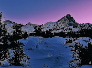
Snowshoe to Blue Lake
6.2 mi / 1350 ft gainStarting in Aspendale at 8500 feet, this 5 mile hike is very invigorating and beautiful. To get here, take hwy 395 until in Bishop. Turn onto hwy 168 until you pass the small town of Aspendale. The road dead ends about another mile up the road and you can park. Walk past the yellow gate toward la...Read more -
Benton, California
Photograph Wild Mustangs in Mono County
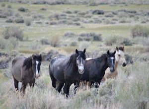
Since these are wild horses, tracking them can be difficult. However, they tend to play and graze in a certain field in Mono County, right outside of Mammoth Lakes and Yosemite! From CA-395 turn onto CA-120 towards Mono Lake. Take this road for 21 miles until you reach Dobie Meadows Road, a one l...Read more -
Bishop, California
Photography in the ButterMilks
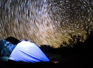
5.0The Eastern Sierras have some of the most spectacular views in the world. This area in particular is known for its rock climbing. It also has amazing opportunities for photographers.The nights during a new moon are incredibly dark and create great astro photography shots. During the day, the l...Read more -
Bishop, California
Bouldering In The Buttermilks
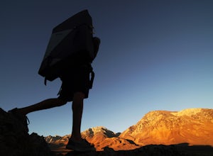
5.0The Buttermilks is a historical climbing area that is home to some of the worlds most famous rock climbs. It is located at the base of the Eastern Sierras near Bishop, CA. In this region there are 3 main bouldering areas: The Happies, The Sads, and The Buttermilks.The Buttermilks are massive gr...Read more -
Bishop, California
Hike Pine Creek Pass to Lower Pine Lake
10 mi / 2500 ft gainThe Pine Creek Pass is usable for day hiking and overnight adventures. If you'd like to spend the night, be sure to pickup a wilderness permit! If you plan to bring a four legged friend, make sure to indicate that on your wilderness permit request. There are several lakes you can stop at througho...Read more -
Bishop, California
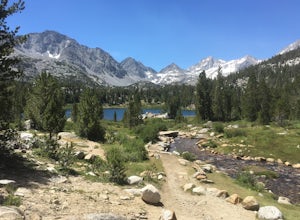
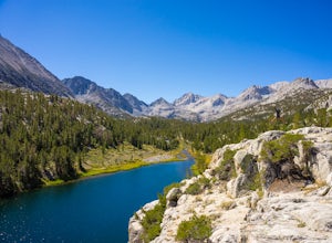
Hike to Little Lakes Valley in the John Muir Wilderness
5.03.2 mi / 300 ft gainThe Little Lakes Valley located in the John Muir Wilderness provides easy access to spectacular views of High Sierra peaks as well as a long list of beautiful alpine lakes.The area is accessed via the Mono Pass Trail starting from Mosquito Flat/Little Lakes Trailhead. From the trailhead at the e...Read more -
Bishop, California
Hike Morgan Pass to 7 Scenic Lakes
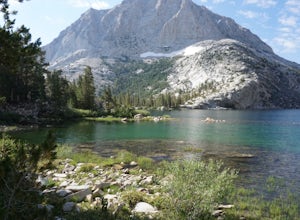
5.010 miTake the 395 North for 20 miles past Bishop and make a left on Rock Creek Road. Follow this road for 10 miles until you reach the free parking area at the Mosquito Flats Trailhead. Even on a holiday weekend, finding parking wasn’t a problem. The trailhead offers easy access to bathrooms and bear ...Read more -
Bishop, California
Fish for a Sierra Grand Slam in Little Lakes
Access to this relatively mellow (for the Sierras) trail can be reached via Rock Creek Road off of Highway 395, north of the town of Bishop, California. Following Rock Creek road southwest until its terminus will take you directly to the parking lot and signed trailhead for Little Lakes Valley.Fr...Read more -
Bishop, California
Backpack to Ruby Lake
5.04 mi / 1000 ft gainAt 10,200 feet, the trailhead (Little Lakes Valley) for Ruby Lake is one of the highest (if not the highest) in the Sierra. Meaning you get right to the heart of the mountains quickly. Ruby Lake itself is at 11,200 feet elevation.How to get there: At Tom's Place off of Hwy 395, turn southwest int...Read more

