Yountville, California
Yountville, California, offers some of the best trails and outdoor activities. The top pick is the Napa Valley Vine Trail, a must-visit for its scenic beauty. This 47-mile hiking and biking path provides stunning views of vineyards and wineries. The trail difficulty is moderate, making it accessible for most fitness levels. Along the trail, you'll see beautiful natural features such as the Napa River and various rock formations. Another must-visit outdoor adventure is kayaking on the Napa River. Enjoy the scenic views of the river and its surrounding areas. If you're into bird-watching, keep an eye out for the diverse bird species that inhabit the area. Yountville is also home to the Veterans Home of California, a historic site with beautiful gardens perfect for leisurely strolls. With these outdoor activities, Yountville is a top destination for those seeking outdoor adventures.
Top Spots in and near Yountville
-
Stinson Beach, California
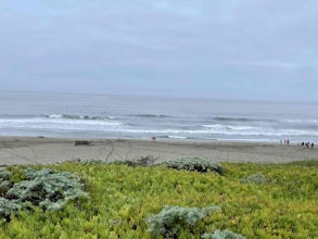
Relax at Stinson Beach
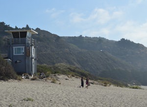
4.3Stinson beach is a popular destination for Bay Area residents and tourists alike. Located just 20 miles north of San Francisco, it is a 30-40 min drive away from the Golden Gate Bridge (it's a one-lane windy road once you're on HWY 1). It is also a popular stop when hiking the nearby Mount Tama...Read more -
Bodega Bay, California
Miwok Campground at Doran Regional Park
5.0Doran Regional Park is located along the coast just south of the town of Bodega Bay, California. There are 5 campgrounds at Doran and Miwok is the tent-only campground with 13 campsites. There is a parking lot at the campground and bathrooms with coin-operated showers. FEES: If camping, your e...Read more -
Bodega Bay, California
Doran Beach
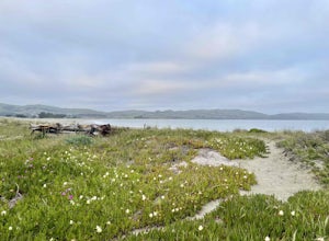
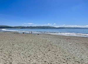
5.04.02 mi / 75 ft gainDoran Beach is nestled within the picturesque landscape of Doran Regional Park near Bodega Bay, California. Offering pristine shores and captivating vistas, this is a coastal gem that allows visitors a more protected coastal landscape than nearby Salmon Creek State Beach. Explore sandy beaches ...Read more -
Inverness, California
Photograph the Cypress Tree Tunnel in Point Reyes
4.3Just north of San Francisco, there's a row of giant Monterey cypress trees that forms a “tree tunnel”. Loved by Bay Area locals, it's a tucked away spot in the Point Reyes National Seashore for photographers to capture early morning sun rays, or for anyone to get some moments of solitude. At the ...Read more -
Inverness, California
Walk along Limantour Beach
4.8The entire drive to Pt. Reyes is picturesque, but once you make it to Limantour, you and your dog can both get out and enjoy it! This area, between Drake's Bay and an estuary, allows you to spend time relaxing or head out for a run (keep the dog on leash). If you're lucky you might either get a c...Read more -
Stinson Beach, California
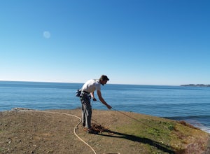
Rock Climbing Mickey's Beach
3.5Mickey's Beach is a great spot for experienced climbers to challenge themselves. The west face of the main rock is home to some local favorites like Sex Porpoises (12c), named for the apparently promiscuous local marine life. There are only a couple routes rated as 5.10s, the rest are mostly 5.12...Read more -
Sonoma County, California
Salmon Creek State Beach
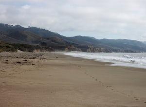
4.0Salmon Creek State Beach located is located just off Highway 1, north of Bodega, California. This beach has a parking lot and restroom on the cliff side, just a short walk down to the beach. DogsBoth North and South Salmon Creek sections of the state beach are not dog friendly due to the Federa...Read more -
Stinson Beach, California
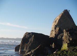
Rock Climbing The Egg
5.0Once you've seen The Egg, you'll understand where it gets its name. This giant, egg shaped boulder near Stinson Beach provides about a dozen routes ranging from 5.6-5.12c. There is no trad climbing, only top rope and sport.You'll find all the easier slab routes on the eastern face. These are perf...Read more -
Bodega Bay, California
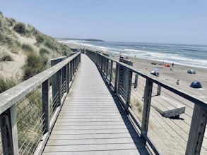
Bodega Dunes Beach
4.0Bodega Dunes Beach is located through the same entrance as Bodega Dunes Campground. There is a fee to enter the parking area for day use, but you can also access it without payment if you have a CA State Parks Pass. From the parking area heading toward the beach, you will see two picnic areas wi...Read more -
Walnut Creek, California
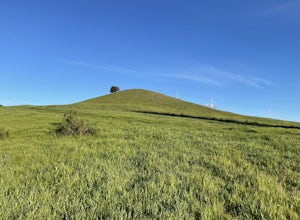
Southern Lime Ridge Loop
4.05.57 mi / 1089 ft gainThe Southern Lime Ridge Loop is a trail system located near Walnut Creek, CA. There is a parking lot at the trailhead located across the street from the Boundary Oak Golf Course. The trail is fairly exposed with limited shade, so bring appropriate sun protection especially on the warmer days. D...Read more -
Bolinas, California
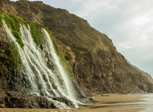
Alamere Falls via Palomarin Trailhead
4.513.54 mi / 1614 ft gainAlamere Falls is the tallest waterfall in the bay area. It is known as a tide fall because it empties directly into the Pacific Ocean. This is extremely unique because there are only 34 tide falls in the world and two in California, the other being McWay Falls in Big Sur. Enjoy stunning views of...Read more -
Bolinas, California
Point Reyes' Wildcat Camp via Coast Trail
5.011.19 mi / 1926 ft gainIn order to make this trip possible, go to recreation.gov and make a reservation for Wildcat Camp (available year-round). On your way to the trailhead, make sure to stop by the Bear Valley Visitor Center to grab your camping permit. For more information, visit: http://www.nps.gov/pore/planyourvis...Read more -
Bolinas, California
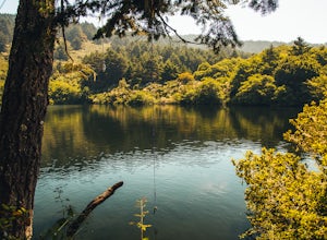
Bass Lake via Palomarin Trailhead
4.26.11 miFollow the Coast Trail from Palomarin Trailhead to Bass Lake. It's a fairly easy ~2.5-3 miles to the Lake. As soon as you pass the lake, on the left you will see a narrow unmarked dirt trail. Take this trail and you'll get to a nice clearing with easy lake access (this will be a great spot for lu...Read more -
Bolinas, California
Glen Camp Loop via the Palomarin Trailhead
4.715.72 mi / 3091 ft gainDay 1 Before heading to the trailhead, make sure to stop by the Bear Valley Visitor Center to pick up your permit. To stay overnight in Point Reyes, you must stay at one of the trail camps. Camping anywhere else in the park is not allowed. Permits for the trail camps can be booked up to 6 mo...Read more -
Bolinas, California
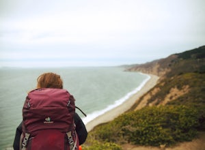
Backpack to Coast Camp in Point Reyes via Palomarin Trailhead
20.5 mi / 2705 ft gainSpanning from just north of the small town of Bolinas (about an hour north of San Francisco) across Inverness ridge and to the top of Tomales Point, Point Reyes National Seashore is as stunning park featuring breathtaking ocean views and solitude among the grassy hillsides and forested ridges. Th...Read more -
Mill Valley, California
Coyote Ridge Loop
5.06.15 mi / 1001 ft gainStarting just before the Tennessee Valley parking lot, head out from the Miwok Trailhead. This Mill Valley hike offers incredible views of the San Francisco Bay, the Pacific Ocean (fog permitting of course!), and on occasion, wildlife. Unfortunately, this trail is not dog-friendly. Keep in mind...Read more

