Sierraville, California
Sierraville, California, is home to some of the best trails and outdoor activities. The Pacific Crest Trail, a top-rated hiking trail, offers scenic views of the Sierra Nevada Mountains. This challenging trail is a must-visit for those seeking outdoor adventures. It features a variety of landscapes, from lush forests to rocky terrains. Another gem is the Lakes Basin Recreation Area, a short drive from Sierraville. This area is dotted with over 20 small lakes, perfect for fishing and boating. For cyclists, the Downieville Downhill bike trail offers a unique blend of steep descents and technical rock features. Whether you're hiking, biking, or fishing, Sierraville offers a plethora of outdoor activities.
Top Spots in and near Sierraville
-
Calpine, California
Camp at the Calpine Fire Lookout
5.0I think all explorers agree there is nothing more serene than being surrounded by nothing but wilderness. If you are one of these said explorers, a trip to Calpine's fire lookout is a must.Calpine is a forest fire lookout tower that was constructed in 1934 and is one of 3 remaining examples of th...Read more -
Calpine, California
Gold Lakes, Sierra Buttes, 45mi
If you never travel north of the Tahoe Basin into the Sierra Valley and beyond, you should. It is gorgeous, peaceful country, with wide open spaces and, compared to Tahoe, relatively uncrowded roads. This loops takes us from Bassett’s Station toward Sattley, north on 89, a brief stop to regroup i...Read more -
Sierra City, California
Camp at Sardine Lake Campground
5.0This campground is first come first serve and is located near Lower Sardine Lake. There are a couple bathrooms located around the loop. Most campsites have trees, perfect for hammocking and shade. The campsite has great views of the mountains. There are a couple hiking trails nearby. Lower Sard...Read more -
Sierra City, California
Sierra Buttes and Sardine Lakes
4.86.19 mi / 3333 ft gainThe Sierra Buttes are one of the most scenic mountain features in all of the Sierra Nevadas. Nestled below the buttes are Upper and Lower Sardine lakes which both offer amazing fishing. Sardine Lake Resort lies at the base of the mountains and offers boat rentals, dining and cabin rentals. Just m...Read more -
Calpine, California
Camp at Salmon Creek Campground
Salmon Creek Campground is a quiet campground in the Northern Sierra Buttes. Since it is right up the road from Sardine Lakes it seems to get overlooked a bit. We were able to reserve three campsites the same week of our trip. There were 11 to choose from! The campground is just passed the turn f...Read more -
Sierra City, California
Relax at Sand Pond
5.0Sand Pond is a great place to relax after a day of hiking or paddling. It's located between Sardine Lake Campground and Lower Sardine Lake and is an easy 10 min walk from the campground. Sand Pond has beautiful views of the mountains and is a great place to watch the sunset. There are small fish ...Read more -
Sierra City, California
Paddle Lower Sardine Lake
5.0Lower Sardine Lake is a short drive from Sardine Lakes Campground. It has crystal clear water and is a very smooth place to paddle. This is also a popular fishing and kayaking spot. There are many fallen trees in the lake and a couple rocks that come up almost to the surface. The water in genera...Read more -
Sierra City, California
Sardine Lakes
1.32 mi / 253 ft gainSardine Lakes is a loop trail that takes you by a lake located near Sierra City, California.Read more -
Sierra City, California
Sierra Buttes Lookout Trail
5.09 mi / 1365 ft gainSierra Buttes Lookout Trail is an out-and-back trail where you may see beautiful wildflowers located near Sierra City, California.Read more -
Truckee, California
Mt. Judah Loop Trail
5.05.5 mi / 1700 ft gainA wonderful hike in Lake Tahoe is the Mt. Judah Loop Trail that offers sweeping views of Donner Lake and the surrounding Sierra Nevada mountains on the North Shore. As a resident on the North Shore, many of my recreational activities favor this side of the Lake but there are marvelous hikes in ...Read more -
Truckee, California
Cross-Country Ski to Drifter Hut
3.09.6 mi / 980 ft gainSet out from the Tahoe Donner Cross Country center in Truckee at 6,650 feet elevation. Day passes range from $12 to $34, depending on time of day and skier age, and provide access to over 100 kilometers of groomed trails. Leaving the day lodge, there are multiple options for skiing up to Drifter ...Read more -
Frazier Creek Road, California
Frazier Falls
4.01.06 mi / 79 ft gainFrazier Falls is the ultimate family hike. Because the paved trail is only a mile long round trip, this trail is open to nearly anyone. Because of its relativly easy access and family friendly nature, this trail can get busy during the summer months. To reach Frazier Falls from the town of Gra...Read more -
Soda Springs, California
Summit Castle Peak
4.06 mi / 1800 ft gainThe trailhead is very easy to access as it is just off Highway 80 at the Boreal Mountain exit. When taking the exit, take a turn to the North, rather than to Boreal on the South side of the Highway. On busy summer weekends this trailhead can get quite crowded so you may have to park at the bottom...Read more -
Soda Springs, California
Hike to the Top of Andesite Peak
5 mi / 1000 ft gainFrom the trail map sign, follow the dirt path straight, following signs for the cross-country skiing route, not snowmobiling. Continue until you see a trail marker. You'll veer left to head over to the Hole in the Ground trail. Once you see another identical trail map board, you'll head left. Thi...Read more -
Soda Springs, California
Snowshoe to the Peter Grubb Hut
5.08 miThe Peter Grubb Hut is located below Castle Peak in Round Valley, 3 miles north of the Castle Peak trailhead near I-80. Overnight parking is available at the California Sno-Park at the Boreal-Castle Peak exit on I-80. Park on the frontage road east of the Boreal Inn and walk back under the freewa...Read more -
Soda Springs, California
Hike to the Peter Benson Hut
5.011.6 mi / 1800 ft gainDrive to the top of Donner Summit via the Old Hwy 40 and park at the Donner Summit PCT trailhead, just past the Sugar Bowl Academy Building. Begin hiking up-hill through a somewhat forested area for about 2 miles. Shortly after you pass the trail sign for the Mt. Judah Loop, you will come to a sm...Read more
Camping and Lodging in Sierraville
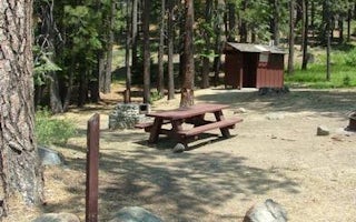
Cold Creek
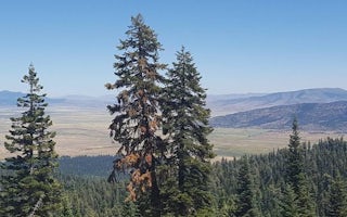
Yuba Pass Campground
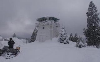
Calpine Lookout
Lower Little Truckee
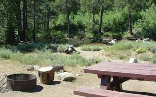
Upper Little Truckee
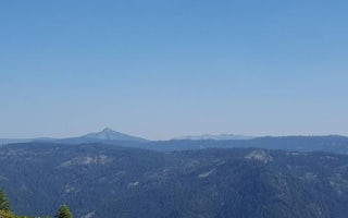
Chapman


