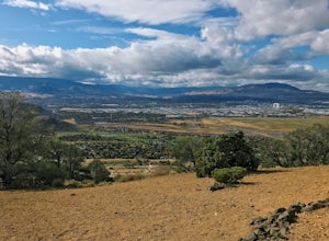
Sierraville, California
Sierraville, California, is home to some of the best trails and outdoor activities. The Pacific Crest Trail, a top-rated hiking trail, offers scenic views of the Sierra Nevada Mountains. This challenging trail is a must-visit for those seeking outdoor adventures. It features a variety of landscapes, from lush forests to rocky terrains. Another gem is the Lakes Basin Recreation Area, a short drive from Sierraville. This area is dotted with over 20 small lakes, perfect for fishing and boating. For cyclists, the Downieville Downhill bike trail offers a unique blend of steep descents and technical rock features. Whether you're hiking, biking, or fishing, Sierraville offers a plethora of outdoor activities.
Top Spots in and near Sierraville
-
Tahoe City, California
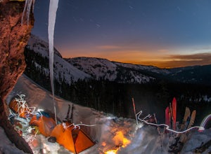
Ride Twin Peaks in Lake Tahoe's Backcountry
This trip is best done in two days with an approach day and then a descent day. Get started at the base of the Sherwood Chair on the backside of the Alpine ski area. Head up, outside of the ski area boundary toward the high ridge.Once on the ridge, you follow it south for a few miles until reachi...Read more -
Reno, Nevada
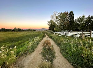
Anderson Park Loop
4.01.64 mi / 92 ft gainAnderson Park Loop is a popular trail for walking or running tucked away in a quiet neighborhood near Reno, Nevada. The trail loops around a pasture and connects up to Bartley Ranch for a longer or more scenic route. Take in scenic views of the surrounding mountains, but there may be some traf...Read more -
Reno, Nevada
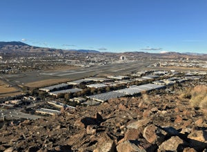
Huffaker Park Lookout Trail
4.01.88 mi / 308 ft gainHuffaker Park Lookout Trail is a loop trail where you may see beautiful wildflowers located near Reno, Nevada.Read more -
Nevada City, California
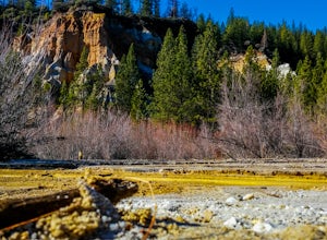
Hike the Diggins Loop Trail
5.02.7 miCheck in and pay for your parking or present California State Parks Pass at the museum building in North Bloomfield. After paying for parking there are several different options to get onto the Diggins Loop trail. Access to the Diggins Loop trail can be found by the Park Headcounters by jumping...Read more -
Reno, Nevada
Rattle Snake Mountain
4.01.49 mi / 371 ft gainRattle Snake Mountain is an out-and-back trail that takes you past scenic surroundings located near Reno, Nevada.Read more -
Incline Village, Nevada
Bike or Take a Stroll along the Tahoe East Shore Trail
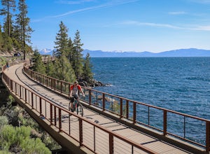
5.02.75 mi / 300 ft gainLake Tahoe's East Shore Trail is a wide paved walking and cycling path running between Incline Village and Sand Harbor State Park. Opened in 2019, the path lies completely separate from the road, sometimes hovering well above it on the mountainside, and other times running parallel to it on a bri...Read more -
Incline Village, Nevada
Monkey Rock
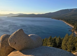
4.72.64 mi / 463 ft gainMonkey Rock is an out-and-back trail that takes you by a lake located near Incline Village-Crystal Bay, Nevada.Read more -
Sparks, Nevada
Sparks Marina Loop
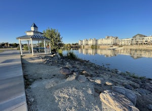
3.01.94 mi / 30 ft gainSparks Marina Loop is a loop trail that takes you by a lake located near Sparks, Nevada.Read more -
Sparks, Nevada
Stand-Up Paddleboard at the Sparks Marina
5.0The Sparks Marina, just minutes from downtown Reno, is a convenient and fun place to learn how to SUP or to spend an afternoon out on the lake. The Sparks Marina Park has ample parking and several places to put in, but there are also numerous others around the marina, including a lovely inlet on ...Read more -
Homewood, California
Eagle Rock
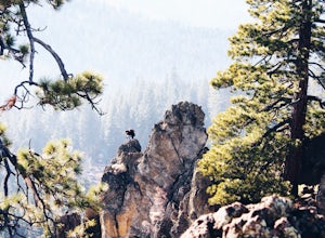
4.00.84 mi / 105 ft gainStarting at an outcrop off Highway 89 in Tahoe Pines, hikers make their way up the trail through a gradually sloping forest. Climbing rocks and logs, it is strenuous at times but only takes about 15-20 minutes to accomplish. Once at the top, the elevation is 6,286 feet and consists of an absolute...Read more -
Sand Harbor, Nevada
Surf Lake Tahoe at Sand Harbor
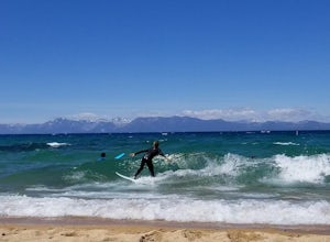
5.0Surfing Lake Tahoe is a rare opportunity which only happens when there is a lot of wind. It's nothing like surfing in the ocean. There are mountains in the background, the water is fresh, and generally the waves are small. You can see if there are waves on the drive there (if driving counter-cloc...Read more -
New Washoe City, Nevada
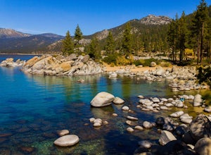
Sand Harbor Beach
4.8This is what you would call a family beach. It is clean, beautiful, and well maintained. The admission price for vehicles has gone up quite a bit, but based on the economy and the fact that this park remains clean and glass-free, you really cannot complain. The beach gets pretty crowded and they ...Read more -
New Washoe City, Nevada
SUP from Sand Harbor
4.5My favorite is to take a trip from Sand Harbor State Beach to Thunderbird Lodge along the East Shore in Lake Tahoe. Start by traveling to Sand Harbor State Beach, park in the parking lot and bring your equipment to the sandy shore. Hop on your board and begin heading south along the East Shore...Read more -
Washoe County, Nevada
Sand Harbor Nature Trail
4.50.54 mi / 33 ft gainWhile Sand Harbor Park is a popular summer destination, the sunsets from this spot are breathtaking year round and you will have less company in the winter. The park is located right off of Highway 28 and has an admission fee of $7. There is a parking lot that fills up quickly in the summer, so a...Read more -
Reno, Nevada
Highland Loop Trail
2.37 mi / 453 ft gainHidden Valley Park is a large, 480-acre regional park in southeast Reno, of which 65 acres are developed that features an extensive trail network along with equestrian grounds, a dog park, playground, and numerous other features. The Highland Loop Trail is a great way to experience the park and ...Read more -
Reno, Nevada
Hidden Valley County Park Loop
4.04.23 mi / 1207 ft gainThis is the hidden sight of Hidden Valley. Head south down Hidden Valley Drive from Mira Loma and turn right on Mia Vista Drive until you get to the parking lot for Hidden Valley Regional Park. Watch out for wild horses on all roads leading in and throughout your hike. There are hundreds of trail...Read more

