Sausalito, California
Looking for the best photography in Sausalito? We've got you covered with the top trails, trips, hiking, backpacking, camping and more around Sausalito. The detailed guides, photos, and reviews are all submitted by the Outbound community.
Top Photography Spots in and near Sausalito
-
Mill Valley, California
Canopy, Panoramic, Redwood Trail, Sun, Dipsea Trail Loop
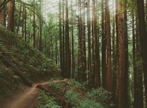
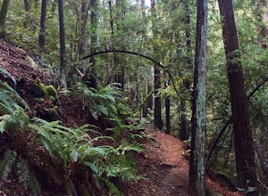
4.74.31 mi / 1145 ft gainWhile there are other, less crowded redwood groves in the Bay Area, Muir Woods National Monument is easily one of the best. It is a beautifully maintained site, with wooden footpaths meandering between towering redwoods that are between 600 – 800 years old. It’s home to some true giants, with its...Read more -
Muir Beach, California
Muir Beach Overlook
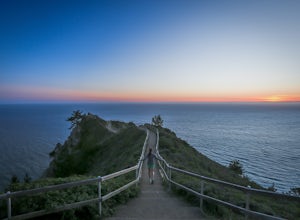
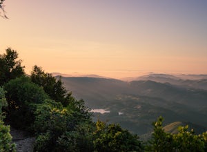
4.9The Muir Beach Overlook is one of the most convenient spots to take in an amazing view of the entire coastline, and one of the best places to catch a dramatic sunset. It’s conveniently located one mile north of Muir Beach and parking is easy. It’s a 5 minute walk down the trail to the Overlook. O...Read more -
Muir Beach, California
Owl Trail
5.01.2 mi / 300 ft gainThe Owl Trail runs between Slide Ranch and the Muir Beach Overlook and is a great way to take in the breathtaking views, flora and fauna of the Northern California coast. The easiest way to access the trail is to park at the Muir Beach Overlook and to take the trail down to Slide Ranch and then...Read more -
San Francisco, California
Sutro Baths Ruins
4.5Whether you simply look down on the ruins from the [conveniently located] parking lot above, or choose to walk down the stairs and explore, you will be greeted with stunning views of the Baths, and the Pacific Ocean stretching infinitely beyond. The highlight of any trip to the Sutro Baths is ...Read more -
San Francisco, California
Catch a Sunrise at Ina Coolbrith Park
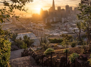
5.0This tucked away neighborhood gem is less than a square block in size, but offers some of the best views of San Francisco. After a quick, but steep, 5 minute walk, you'll be rewarded with incredible views of: the city skyline, Coit Tower, Alcatraz, and the Bay Bridge. There are a few benches avai...Read more -
Mill Valley, California
Temelpa Trail
4.52.94 mi / 1929 ft gainThe Mt. Tam Hill Climb via Temelpa Trail is an iconic, "best-of" climb in the trail running community, drawing some of the world's greatest athletes to experience its breathtaking views and technical downhill. Surprisingly though, outside of locals and the running community, the trail remains lar...Read more -
Larkspur, California
Dawn Falls Trail
4.52.29 mi / 344 ft gainTake the Dawn Falls trail down into the Baltimore Canyon for an in-depth exploration of northern California nature. Rather than the usual dry, hardy vegetation that speckles the hills of many nearby trails, this trail is bursting with lush ferns and mossy trees as it meanders along next to Larksp...Read more -
San Francisco, California
Alamo Park Square Park
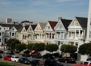
4.6If you’re ever in San Francisco, you’ll definitely want to spend a bit of time in Alamo Square gazing at these stellar examples of San Francisco history. This is a beautiful and popular green space, where you have uninterrupted views of the iconic Painted Ladies. The Painted Ladies are row of...Read more -
Mill Valley, California
Summit of Mt. Tamalpais Loop
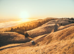
5.01.15 mi / 394 ft gainMt. Tam is a large park with plenty of amazing viewpoints, but the East routes and the East Peak are best for sunsets. Once you're at the top, it's an amazing spot to view a large number of Marin trails, which can help you can get a head start on planning your next adventure. At 2,570 feet, this ...Read more -
San Francisco, California
Mount Sutro Open Space Reserve Loop
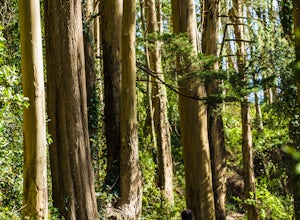
4.42.14 mi / 617 ft gainThe Mount Sutro Open Space hike is one of those gems that's just hiding in plain site. Most people live in San Francisco for years without ever knowing this hike even exists - which is totally fine with us. This 2+ mile loop is an easy, quick way to get back in touch with nature after a long day....Read more -
Richmond, California
Picnic at Point Molate Beach Park
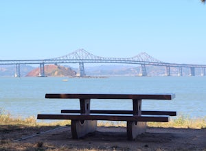
The beach park is very small but has sand along the shore for water access. Along the small cliffs of the beach there are picnic tables and grills for a nice cookout and family picnic. This beach would also be a great place for kayaking or standup paddle boarding as it is fairly secluded and away...Read more -
San Francisco, California
Corona Heights Park
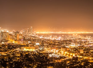
5.00.65 mi / 115 ft gainCorona Heights Park is a park located north of the Castro and South of Buena Vista Park. The peak of the hill is windy, but it offers an unobstructed panoramic view of the city of San Francisco from downtown to Twin Peaks. It is perfect for taking panoramic pictures of San Francisco at night. Y...Read more -
San Francisco, California
Grand View Park ("Turtle Hill")
5.00.21 mi / 7 ft gainA recipe for happiness in the "cool grey city of love." To the seasoned San Franciscan there is no finer view in the Bay Area than that from San Francisco's front porch, Turtle Hill or "Grand View Park". If the North American continent / plate is a ship, then Grand View Park is the prow giving e...Read more -
Mill Valley, California
Steep Ravine Trail via Pantoll Station
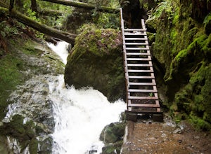
5.03.96 mi / 1079 ft gainThe trailhead Pantoll Station is easy to find on GPS and there are friendly rangers there as well to answer questions.Maps: Paper map are available at the trailhead Pantoll Station in Marin, CA. For a moderate hike, I suggest going the one and a half miles down the trail to the ladder and retu...Read more -
Marin County, California
Dipsea Trail - Steep Ravine Loop
5.03.97 mi / 1204 ft gainThis is definitely a worthwhile short hike, with views of the Bay Area, Marin Headlands, Golden Gate, and the San Mateo coastline. It's a 3.8 mile loop which takes you through forests of Redwoods and out to the coastline, even above the clouds on a lucky day. The trailhead begins at the Pantoll ...Read more -
San Francisco, California
Tank Hill
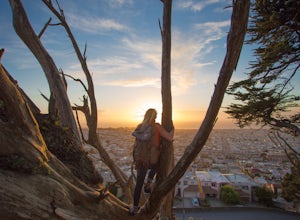
4.30.14 mi / 49 ft gainLooking for a cool, under-the-radar spot that’s perfect for picnics, chilling out, and chasing the sunset? Look no further than Tank Hill. This little gem of a mini-park is 650 feet high and tucked away in Cole Valley. It’s so small that many maps of San Francisco don’t even include it. To get ...Read more

