California
Looking for the best fitness in California? We've got you covered with the top trails, trips, hiking, backpacking, camping and more around California. The detailed guides, photos, and reviews are all submitted by the Outbound community.
Top Fitness Spots in and near California
-
Riverside County, California
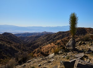
Hike the Covington Crest Trail
4.2 mi / 200 ft gainAccessing Covington Flats in Joshua Tree National Park requires a high ground-clearance overland vehicle. In the summer months a standard car might make it to the parking lot after the 7.5 mile off-road drive, but should always be prepared for soft sand. Bring spare water and emergency tools inca...Read more -
Twentynine Palms, California
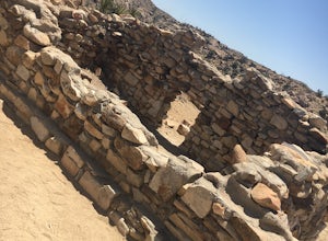
Desert Queen Mine and Eagle Cliff Boulder House
3.41 mi / 656 ft gainThis is a great trail and arguably, entering the mines is the coolest part. Bring a headlamp so you can see down tunnels. As you go past the giant boulders on the right, you enter a nice microclimate of cooler air and scrubby oak trees. Don't forget to look up - you'll see lots of erosion on the ...Read more -
San Jose, California
Explore Santa Teresa County Park
4.58.3 mi / 2053 ft gainThe Santa Teresa County Park loop is perfect for wildlife viewing! Be ready to see deer, coyote, hawks, turkeys, pigs and cows. The trail is rated as moderate - be cautious with mud if you are visiting the park after a rain shower. Dogs are allowed in the park, but must be kept on leash. There i...Read more -
Ventura, California
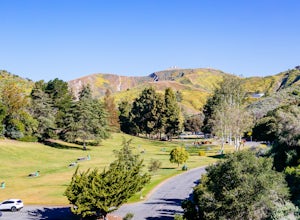
Hike Arroyo Verde Park
3.5 mi / 800 ft gainArroyo Verde Park is a small parked tucked in the hills above Ventura, California, and has a network of trails running up and down the hills surrounding the valley in the center of the park. The entrance to the park is at the intersection of Foothill Road Day Road, east of downtown Ventura. There...Read more -
Newport Beach, California
Explore Deer Canyon
6.9 mi / 1489 ft gainThe Deer Canyon Loop Trail is an easy drive from Orange County and Newport Beach. In the spring, wildflowers are abundant along the trial. This is a favorite spot for trail runners, hikers, and mountain bikers. The trail is kept in great condition year-round and is very wide. There is very little...Read more -
Topanga, California
Calabasas Peak Motorway
7.23 mi / 1565 ft gainGetting There You can, from Los Angeles, go one of three ways: take I-405 to US-101 and head west, or from downtown, take US-101 the whole way, OR, get on I-10 from the Westside or east of there and take that until it becomes PCH, then take that to Topanga Canyon (turn left onto Old Topanga Cany...Read more -
Livermore, California
Hike the East Shore Trail Loop
3.7 mi / 1040 ft gainThis hike is best done during the spring, fall, or winter when moderate temperatures make the hike more comfortable. Be warned that this hike has a large elevation change despite being less than 4 miles. Starting at the Arroyo Road Staging Area, take the East Shore Trail east, heading towards a s...Read more -
Big Sur, California
Hike from Kirk Creek Campground to Vicente Flat Trail
10.9 mi / 3454 ft gainThe Vicente Flat Trail is well kept and wide, with many campsites at the end. This trail is very close to Cone Peak, and is used for mountain biking, trail running, birding, and nature trips.Read more -
Pinecrest, California
Camp at Baker Campground
5.0/ 6224 ft gainBaker Campground is a first come, first serve campground. Each site is equipped with a fire ring, picnic table, and bear boxes. The cost for a single family site is $20 per night and a double family site is $40 per night. The campground provides bathrooms and potable water. The campground is typi...Read more -
La Honda, California
Hike the Brook Trail Loop
7.1 mi / 1500 ft gainThe Brook Trail Loop is a beautiful hike, starting off in Sam McDonald County Park and later entering into Pescadero Creek County Park. This adventure can be done in any season, with the trails almost entirely shaded for even the hottest summer days. Starting off from the Heritage Grove trailhead...Read more -
Lake Hughes, California
Hike the Pacific Crest Trail from Horse Trail to Bear Campground
11.63 mi / 2396 ft gainThis is part of the Pacific Crest Trail. If you're through-hiking or sectional hiking, you'll have to hit it eventually. Try and avoid it in the late summer or early fall because of heat, and gnats. Find a way to check the bug report, we got marauded by gnats 90% of the way (early October) and ap...Read more -
Corona, California
Skyline Drive Trail
3.09.07 mi / 1946 ft gainThis trail is shared by hikers, mountain bikers and trail runners. Rock climbers can find areas to boulder off the trail. Bring lots of extra water as this trail is rather dusty and can get very hot. This is a good training hike for those looking to do some backpacking. The trail is open year-r...Read more -
Santa Barbara County, California
Torrey Pines Trail
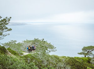
4.71 mi / 584 ft gainThe vast diversity of terrain of Santa Rosa Island in the Channel Islands National Park is matched in uniqueness only by its own flora and fauna, in particular the endangered and endemic Torrey Pine. The best way to view and experience these strange, broad trees is via the Torrey Pines Trail, whi...Read more -
Glendale, California
Beaudry Loop
5.79 mi / 1572 ft gainThe Beaudry Loop trail features a bench at the top with 360 degree views of the greater LA area. The trailhead is a little hidden on Beaudry Blvd. As Beaudry Blvd turns into Beaudry Terrace, you'll see cars parked at the paved trailhead. There is very little shade on the trail so bring ample sun...Read more -
Hemet, California
Hike South Fork Trail
5.4 mi / 1056 ft gainBegin by following the unsigned but visible trail on the south side of the turnout. You climb steadily through bushes and past granite boulders. At half a mile, you pass over to the western slope of the hill where the trail bends southeast, providing your first look of the river valley far below....Read more -
Ventura, California
Bike the Sulphur Mountain Loop
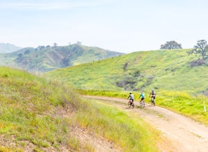
28.6 mi / 2884 ft gainThe Sulphur Mountain Loop is a 28 mile cycling and mountain biking loop that begins in Ventura Canyon at the Sulphur Mountain Trailhead and loops through Ojai Valley. Beginning at the Sulphur Mountain Road trailhead off Highway 33, follow the road up and over Sulphur Mountain and down until it co...Read more

