California
Looking for the best fitness in California? We've got you covered with the top trails, trips, hiking, backpacking, camping and more around California. The detailed guides, photos, and reviews are all submitted by the Outbound community.
Top Fitness Spots in and near California
-
Trinity Center, California
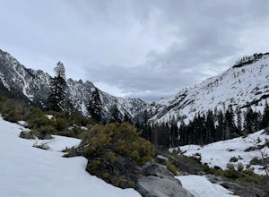
Backpack Stuart Fork to Emerald and Sapphire Lake
25 mi / 4448 ft gainThe Stuart Fork to Emerald and Sapphire Lakes trail features many beautiful lakes, meadows, and an area that resembles a jungle. Dogs are able to use this trail. This trail can be done as a day hike, an overnight, or a three-day backpacking trip. If you choose to make it a three day, the meadows ...Read more -
Danville, California
Summit Mount Diablo via Rock City Trail
5.07.8 mi / 2299 ft gainAlthough steep in sections, this trail is a wonderful workout and hikers are more than rewarded for their efforts. The Rock City Trail is a direct route to the summit of Mount Diablo, and the park is an ecological treasure dear to the hearts of Bay Area residents. The best views are on clear days...Read more -
1501 Will Rogers State Park Road, California
Backbone Trail via Will Rogers State Park
5.03.02 mi / 656 ft gainYou'll make your way up Will Rogers State Park Road, located just minutes from Santa Monica, Brentwood, Westwood, Malibu, Palisades, and much of west Los Angeles. Once on the road, head all the way to the top and you'll dead end into the parking lot. Always worth supporting State Parks with the p...Read more -
Sunol, California
Hike the Pleasanton Ridge Trail
4.36.4 mi / 1443 ft gainPleasanton Ridge Trail is a 6.4 mile loop. The loop is shared by dog walkers, trail runners, hikers, mountain bikers and horseback riders. From the ridge your viewpoints will include Mount Diablo and the San Francisco Bay. This hike from the Foothills Staging Area is an excellent introduction ...Read more -
Santa Rosa, California
Hike Crane Creek Regional Park
4.03.5 miWith multiple loops of varying length, this park is great for anyone looking for a casual hike around a beautiful area in the foothills of Rohnert Park. Crane Creek has nice secluded picnic areas next to the creek in the cover of willow, alder, buckeye and bay trees. There's also an 18-hole disc ...Read more -
Shoshone, California
Camp in the Greenwater Valley in Death Valley NP
Greenwater Valley in the southeast corner of Death Valley National Park is a fantastic representation of the many features that the Park has to offer but without the crowds (and traffic) found in the primary campgrounds like those around Stovepipe Wells and Texas Spring. In addition to being quit...Read more -
Posey, California
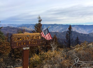
Sunday Peak Trail
1.64 mi / 1060 ft gainThis short and easy summit is located just outside of Kernville, California. To get there, follow Highway 178 towards Kernville and turn left on Highway 155 towards Wofford Heights. After a long, steep incline you’ll reach the top of Greenhorn Summit, marked by large parking areas on either side....Read more -
Tahoe City, California
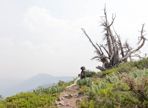
Hike the Ellis Peak Trail
5.06.3 mi / 1660 ft gainThe Ellis Peak Trail is close to North Lake Tahoe. The trail features scenic wildflowers in the spring and summer. Dogs are allowed on the trail but must be kept on leash. Directions from Truckee: Take Highway 80 south and drive to Tahoe City - continue south on Highway 89 from Tahoe City for 4....Read more -
Chula Vista, California
Hike Mother Miguel Mountain
5.04.5 mi / 977 ft gainAt the summit, your work will be rewarded with stunning views from downtown San Diego all the way to Mexico. You can also see the surrounding mountain peaks and the Sweetwater Reservoir. This is a great hike to do at sunset - but bring a headlamp / flashlight for the hike back down. This trail i...Read more -
Fresno County, California
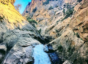
Explore Zumwalt Meadow and Roaring River Falls
4.54.1 mi / 475 ft gainThe Zumwalt Meadow and Roaring River Falls Trail is a 4.1 mile hike in Kings Canyon National Park. You feel remote, even with a road nearby. The minimal elevation change makes this a scenic hike for all skill levels. Bring bug spray and wear long sleeve hiking clothing in August, as the bugs are ...Read more -
Mammoth Lakes, California
Hike to Steelhead Lake through McGee Creek Canyon
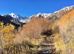
5.011.5 mi / 2510 ft gainWhether you’re looking for a dayhike near Mammoth Lakes, planning a backpacking trip along the JMT, or have a few extra hours to spare on a cross-California road trip, this is an easy and popular trail choice for killer mountain views.I was delighted to discover that this is one of the most easil...Read more -
Dana Point, California
Walk the Dana Point Preserve Trail
5.00.5 miOcean views the whole time, plenty of wildlife and different species of native plants make this short hike beautiful. With the hike being short enough to complete in the afternoon after a day at the beach you can see a beautiful view of the coastline north and south. There is plenty of parking in...Read more -
Mariposa County, California
Reverse Summit of Glacier Point in Yosemite National Park
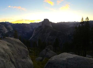
4.517 mi / 6100 ft gainYosemite's Panorama Trail is undoubtedly one of the most scenic and worthwhile trails in the entire national park. The stretch that reaches from the valley floor to the top of Glacier Point involves 8.5 miles and a monumental amount of elevation gain. If you want to see the entire stretch of trai...Read more -
Nevada City, California
Hike the Diggins Loop Trail
5.02.7 miCheck in and pay for your parking or present California State Parks Pass at the museum building in North Bloomfield. After paying for parking there are several different options to get onto the Diggins Loop trail. Access to the Diggins Loop trail can be found by the Park Headcounters by jumping...Read more -
Tuolumne County, California
Backpack Grand Canyon of the Tuolumne
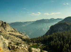
5.048.29 mi / 10610 ft gainThis is a rugged overnight backpack into the North country of Yosemite dropping in from Tuolumne Meadows into the Grand Canyon of the Tuolumne. The trail begins at an elevation just under 9,000' and drops to a low elevation of 4,500' almost 19 miles later at Pate Valley. Coming up out of Pate Val...Read more -
Redwood City, California
Hike the Methuselah and El Corte De Madera Creek Loop
6.2 mi / 1800 ft gainThis loop hike will provide people with the opportunity to experience the tranquility of the lower canyons of the preserve, which tend to be more isolated than the heavier-trafficked trails that are closer to the main highway. Be warned that this hike is fairly strenuous because of the large amou...Read more

