Clayton, California
Looking for the best chillin in Clayton? We've got you covered with the top trails, trips, hiking, backpacking, camping and more around Clayton. The detailed guides, photos, and reviews are all submitted by the Outbound community.
Top Chillin Spots in and near Clayton
-
Stinson Beach, California
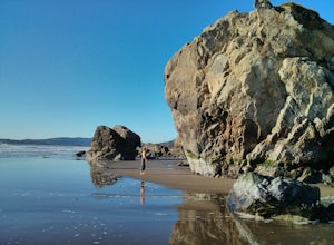
Bouldering & BBQ at Stinson
4.5Stinson offers up a great beach day with a few activities for everyone to enjoy. If you head toward the south end of the beach, you'll come across a few boulder problems, including the 2 most popular: Are You Experienced and The Old Man. Are You Experienced is the smaller of these 2 boulders, but...Read more -
Stinson Beach, California
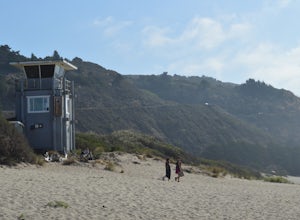
Relax at Stinson Beach
4.3Stinson beach is a popular destination for Bay Area residents and tourists alike. Located just 20 miles north of San Francisco, it is a 30-40 min drive away from the Golden Gate Bridge (it's a one-lane windy road once you're on HWY 1). It is also a popular stop when hiking the nearby Mount Tama...Read more -
Pacifica, California
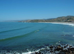
Surf at Pacifica State Beach
4.5If you're looking for a place to surf and Ocean Beach isn't quite your speed or Santa Cruz is too far, head to Pacifica, specifically Linda Mar. Linda Mar is usually more wind protected and user-friendly than ocean beach. Break out your longboard or hybrid board and head to this beach. There is e...Read more -
Yountville, California
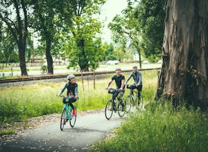
Bike the Napa Valley Wine Trail
12.5 mi / 100 ft gainThe Napa Vally Vine Trail is an ongoing project of the Napa Valley Vine Coalition which has the stated goal of creating a 47 mile long bike trail along the entire length of Napa Valley. Currently 12.5 miles of trail is available between downtown Yountville and Kennedy Park in the city of Napa. Yo...Read more -
San Geronimo, California
Roys Redwood Preserve Loop
5.02.37 mi / 430 ft gainRoy's Redwoods Preserve is an easily missed pocket of Redwoods off Nicasio Valley Road in Marin County. Don't miss it: heading North on Sir Francis Drake Blvd turn right onto Nicasio Valley Rd--the gate for this little park is about a half mile up on the right. From the main entrance you enter a ...Read more -
Half Moon Bay, California
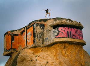
Devil's Slide Bunker
4.3The Devil's Slide Bunker is perched out on a point the defiantly juts out into the ocean. The Bunker is covered in constantly changing graffiti, which provides a stunning contrast to the gorgeous seaside. Hop on Highway 1 South. Just south of Pacifica there is a tunnel. Once you go through the t...Read more -
Los Altos, California
Park Day at Foothills Park
1.7Disclaimer: Foothills Park requires proof of residence in Palo Alto or being accompanied by a resident of the city. Learn more here.Foothills Park is 2.7 miles west of 280 after exiting Page Mill. After exiting you take a short scenic drive up the hill and come to the park entrance on your right...Read more -
Redwood City, California
Hike or Bike the Old Growth Redwood Loop at El Corte de Madera
4.48.8 mi / 1900 ft gainThis hike starts at the middle parking lot of the El Corte de Madera Open Space Preserve. The middle lot is located roughly a mile south on Skyline Boulevard from the Skeggs Point Vista. From the parking lot, take the Methuselah Trail for 0.3 miles until you reach the Timberview Trail. Take this ...Read more -
Lagunitas, California
Swim at the Inkwells
4.5These natural swimming holes are filled with water flowing from Kent Lake, so they're usually pretty refreshing. And by refreshing, we mean cold. We know this first-hand by testing the pools in the winter months. Let's just say if you can stay in for more than 5 seconds, you're a hero. If you jum...Read more -
Moss Beach, California
Fitzgerald Marine Reserve
5.00.89 mi / 46 ft gainLocated beside a residential neighborhood, Fitzgerald Marine Reserve offers a rare glimpse of life in the northern California intertidal zones. There are parking spaces and restrooms available, as well as ranger-led guided tours. Be sure to check the tide charts and go during low tide (preferab...Read more -
Moss Beach, California
Cypress Tree Tunnels at Moss Beach
4.50.79 mi / 105 ft gainThe Cypress Tree Tunnels are a quick jaunt from San Francisco (22 miles) and make for a great half-day trip. Getting here depends on traffic, but 30 minutes from the center of the city is doable. Parking is relatively easy. You can either park at the south end of the area at the Cypress Cove entr...Read more -
Half Moon Bay, California
Hike Along the Half Moon Bay Coastal Trail
4.65 mi / 104 ft gainStart at the visitor center along Kelly Avenue. Take note that the day parking fee is $10 in 2016 for each vehicle. You will then be able to enjoy both the Coastside Trail and Francis Beach (plus other beaches) with access to the amenities such as coin-operated showers and a semi-private beach.Th...Read more -
Half Moon Bay, California
Catch the Sunset at Maverick's Beach
5.01 miMaverick's beach is most well-known for the Maverick surf competition and the gnarly waves which surface here in the winter months. For the rest of the year, the beach is still a site to see. With huge waves crashing ¼ mile off shore and bluffs towering 100 feet above you, it’s a picturesque plac...Read more -
Portola Valley, California
Sunrise Hike at Windy Hill
5.0There are a few options to this hike. Usually I would recommend parking in the lot on Portola Road, but because the preserve doesn't open until 30 minutes before sunrise, it's best to park up on Skyline Boulevard (Highway 35). There are two places to park up on Skyline, but the main parking lot i...Read more -
Petaluma, California
Hike Helen Putnam Regional Park
4.06 mi / 550 ft gainA 216-acre park, Helen Putnam offers 9 trails that are relatively short but can be combined however you wish. Go 2 miles or 10 miles. Loop in and out, up or around. I take a different route every time I hike here.For a good 6-mile hike, begin at the southwest corner, where the parking lot and res...Read more -
Mount Hamilton, California
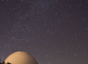
Stargaze at Lick Observatory
3.8Hop on Road 130 heading out of San Jose and follow the winding two lane road up, up, up to to the top of Mt. Hamilton and the Lick Observatory. There are lots of deer, wild turkey, and pigs in the area. If you are lucky you will get to see a herd of deer grazing in a meadow. But be careful that y...Read more

