Young, Arizona
Looking for the best photography in Young? We've got you covered with the top trails, trips, hiking, backpacking, camping and more around Young. The detailed guides, photos, and reviews are all submitted by the Outbound community.
Top Photography Spots in and near Young
-
Gila County, Arizona
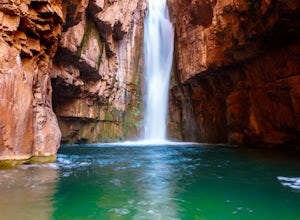
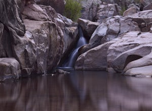
Cibecue Falls
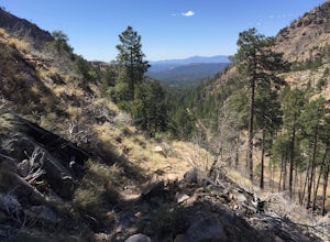
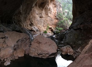
4.32.94 mi / 600 ft gainThe Hike It’s a bumpy ride down an old dirt road to get to the trailhead to hike Cibecue Falls. Use extreme caution on this road as there are very narrow sections with sheer cliffs. The road follows along the Salt River giving you a nice viewpoint of the Salt River Canyon. On your way in, yo...Read more -
Woods Canyon Lake, Arizona
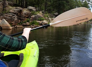
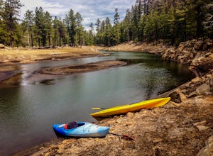
Kayak Woods Canyon Lake
5.0Is there any better way to spend a Saturday, then paddling on a glassy, peaceful lake? You can rent kayaks at the Woods Canyon Lake Marina, or bring your own (if you’re bringing your own kayak, make sure you bring a PFD too, as it’s Arizona law). One of the best parts of this lake is that w...Read more -
Young, Arizona
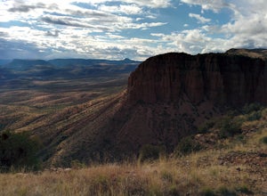
Camping on Roosevelt Lake Overlook
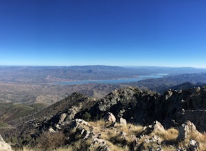
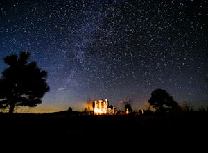
5.0Stumbled upon this phenomenal spot while dual-sporting through the Sierra Ancha range.Turning off 188 the Globe-Young Highway winds down into a valley and crosses the Salt River before passing some small homesteads and farms. It then climbs into the foothills of the Sierra Ancha mountain range. A...Read more -
Payson, Arizona
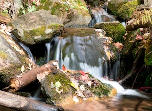
Hike See Canyon Trail
5.07.6 mi / 2043 ft gainSee Canyon Trail #184 is a 7.6 mile trail in the Tonto National Forest that features a creek and spring. This trail is most popular during the fall when the leaves begin to change color and fall along the creek. The trail runs from the parking lot up to FS 300 above the rim. The trail starts of...Read more -
Coconino County, Arizona
Camp at Knoll Lake
5.0The Campground is seasonal and is located on the left just before the lake. There are 33 well-developed units that offer fire-rings, grills, drinking water and vault toilets. No reservations are accepted and you will need to check in with the camp host. From central Phoenix, take Loop 202 east to...Read more -
Roosevelt, Arizona
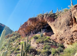
Visit Tonto National Monument
3.71.5 mi / 305 ft gainExplore two remarkably preserved American Indian cliff dwellings that date back to the 13th century. Set within a shelter bluff on the side of steep cliffs, the Upper and Lower Cliff Dwellings are well protected, and have great views of the surrounding Sonoran Desert. If you get to the park early...Read more -
Payson, Arizona
Water Wheel & Ellison Creek Cascades
4.91.76 mi / 272 ft gainA short and easy out and back hike for adventurers of all ages with scenic waterfalls along the entire trip! Starting at the Water Wheel day use area you will simply follow the well traveled path that meanders alongside the creek. You will reach the first significant waterfall within minutes whi...Read more -
Payson, Arizona
Mogollon Rim via Washington Park
4.04.32 mi / 1138 ft gainThis trail begins at the Washington Park Trailhead which meets up with passage #27 of the AZT. You begin traveling northbound as you ascend the great Mogollon Rim. The trail takes you through a gorgeous forest and rewards you with an awesome cliff side view at the summit. 2.25 miles into the tra...Read more -
Payson, Arizona
Hike the Colonel Devin Trail
4 mi / 1116 ft gainThe hike will begin at Washington Park in Payson, Arizona. To reach Washington Park, take AZ87 to Forest Road 199 (Houston Mesa Road) and turn east. Continue for 10 miles until you reach Forest Road 64 and turn west. Traveling less than a mile you will turn north on Forest Road 32 and in 3 miles ...Read more -
Tonto Basin, Arizona
Hike to Brown's Peak
5.06 mi / 1957 ft gainStarting at the trailhead you will begin hiking through oak trees and forest. At numerous times throughout the hike Roosevelt Lake can be seen to the northwest. Approximately 3 miles into your hike you will reach a small campsite in the saddle of the mountain. This is your turnaround point if you...Read more -
Pine, Arizona
Hike the Pine Creek Loop in Tonto Natural Bridge SP
4.71.8 mi / 300 ft gainThere is a fee to enter this area. It was $7 when we went. There are 4 trails with many viewpoints from the parking lot, all of which are out and back. We followed the recommendation of the ranger working at the visitor's center and took the Gowan Trail down to the observation deck located in the...Read more -
Happy Jack, Arizona
Car Camp the Mogollon Rim
4.8The Mogollon Rim is part of the Colorado Plateau in eastern Arizona above Payson. The rim stretches across the Coconino National Forest and at some parts drops off nearly 2,000ft. This area is ideal for over-night car-camping. The expansive vistas above thousands of acres of national forest land ...Read more -
Show Low, Arizona
Hike the Show Low Bluff Trail
5.01.5 mi / 76 ft gainBuilt in 2012, this loop is part of the white mountain trail system and you may park directly at the trailhead. A paved walking path starts at the trailhead and leads you to a bridge that provides a beautiful view of Show Low Creek and the surrounding meadow. After crossing the bridge, you will e...Read more -
Navajo County, Arizona
Blue Ridge Cave Trail
6.8 mi / 554 ft gainRight off Arizona Highway 260 at Porter Mountain Rd., you'll find this easy out-and-back hike that will wind you past Scott Reservoir to an ancient lava tube cave. To access the trailhead, take Porter Mountain Rd. for one mile off Highway 260, the parking area is easily visible about 0.1 mi past...Read more -
Rogers Trough Trailhead, Arizona
Hike Rogers Canyon Trail
5.08 mi / 1108 ft gainThe Superstition Wilderness is a vast rugged landscape where you can find the cultural remains of ancient Hohokam, Salado, Apache, and Yavapais tribes. Rogers Canyon Trail takes you to one of the most impressive and best preserved archaeological sites this region has to offer. These Salado ruin...Read more

