Young, Arizona
Looking for the best chillin in Young? We've got you covered with the top trails, trips, hiking, backpacking, camping and more around Young. The detailed guides, photos, and reviews are all submitted by the Outbound community.
Top Chillin Spots in and near Young
-
Coconino County, Arizona
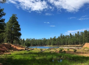
Hike Woods Canyon Lake Loop Trail
5.03.7 mi / 154 ft gainThis hike is a ~4 mile heavily trafficked loop trail that circles Woods Canyon Lake, on the beautiful Mogollon Rim. Peaceful and easy, this trail is suitable for all skill levels, and is great for families looking to spend a bit of time in nature. The trail follows the shoreline closely, and fo...Read more -
Coconino County, Arizona
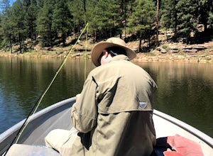
Fish Woods Canyon Lake
You can rent a charming metal fishing boat at the Woods Canyon Lake Marina, or bring your own (if you’re bringing your own boat, make sure you bring a PFD too, as it’s Arizona law). Note that gas motors are NOT permitted on boats (only trolling motors). This makes it an incredibly quiet experie...Read more -
Woods Canyon Lake, Arizona
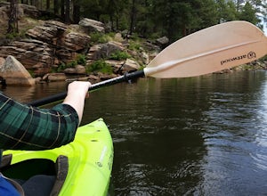
Kayak Woods Canyon Lake
5.0Is there any better way to spend a Saturday, then paddling on a glassy, peaceful lake? You can rent kayaks at the Woods Canyon Lake Marina, or bring your own (if you’re bringing your own kayak, make sure you bring a PFD too, as it’s Arizona law). One of the best parts of this lake is that w...Read more -
Young, Arizona
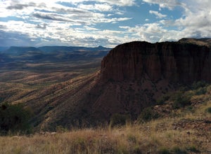
Camping on Roosevelt Lake Overlook
5.0Stumbled upon this phenomenal spot while dual-sporting through the Sierra Ancha range.Turning off 188 the Globe-Young Highway winds down into a valley and crosses the Salt River before passing some small homesteads and farms. It then climbs into the foothills of the Sierra Ancha mountain range. A...Read more -
Payson, Arizona
Dispersed Camping on Mogollon Rim (FR 9350)
4.7Dispersed camping with a view! With no site fees and no reservations, this camping spot is incredibly popular. Note that several campsites are bordered by a 200' vertical drop. This area is not recommended for families with young children or people who are uneasy with heights. All campsites ha...Read more -
Payson, Arizona
Horton Springs Loop
4.48.42 mi / 1896 ft gainThis is a more scenic and bit more strenuous loop hike to the spring, taking in the Derrick Trail, part of the Highline Trail, and the Horton Creek Trail.After parking the cars near Upper Tonto Creek Campground follow the Derrick Trail and hike gently uphill for 1.4 miles through the rim country ...Read more -
Payson, Arizona
Hike the Colonel Devin Trail
4 mi / 1116 ft gainThe hike will begin at Washington Park in Payson, Arizona. To reach Washington Park, take AZ87 to Forest Road 199 (Houston Mesa Road) and turn east. Continue for 10 miles until you reach Forest Road 64 and turn west. Traveling less than a mile you will turn north on Forest Road 32 and in 3 miles ...Read more -
Tonto Basin, Arizona
Hike to Brown's Peak
5.06 mi / 1957 ft gainStarting at the trailhead you will begin hiking through oak trees and forest. At numerous times throughout the hike Roosevelt Lake can be seen to the northwest. Approximately 3 miles into your hike you will reach a small campsite in the saddle of the mountain. This is your turnaround point if you...Read more -
Pine, Arizona
Hike the Pine Creek Loop in Tonto Natural Bridge SP
4.71.8 mi / 300 ft gainThere is a fee to enter this area. It was $7 when we went. There are 4 trails with many viewpoints from the parking lot, all of which are out and back. We followed the recommendation of the ranger working at the visitor's center and took the Gowan Trail down to the observation deck located in the...Read more -
Pine, Arizona
Stroll Pine Creek's Lavender Farm
The building was built in the early 1900’s by the first settlers of Pine, the farm was turned into a lavender farm. There’s a little shop, and the owner also does cooking classes! Wonderful way to spend some time in the northern Arizona sunshine. For more information and a calendar of events, p...Read more -
Happy Jack, Arizona
Car Camp the Mogollon Rim
4.8The Mogollon Rim is part of the Colorado Plateau in eastern Arizona above Payson. The rim stretches across the Coconino National Forest and at some parts drops off nearly 2,000ft. This area is ideal for over-night car-camping. The expansive vistas above thousands of acres of national forest land ...Read more -
Show Low, Arizona
Hike the Show Low Bluff Trail
5.01.5 mi / 76 ft gainBuilt in 2012, this loop is part of the white mountain trail system and you may park directly at the trailhead. A paved walking path starts at the trailhead and leads you to a bridge that provides a beautiful view of Show Low Creek and the surrounding meadow. After crossing the bridge, you will e...Read more -
Navajo County, Arizona
Blue Ridge Cave Trail
6.8 mi / 554 ft gainRight off Arizona Highway 260 at Porter Mountain Rd., you'll find this easy out-and-back hike that will wind you past Scott Reservoir to an ancient lava tube cave. To access the trailhead, take Porter Mountain Rd. for one mile off Highway 260, the parking area is easily visible about 0.1 mi past...Read more

