Prescott, Arizona
Top Spots in and near Prescott
-
Sedona, Arizona
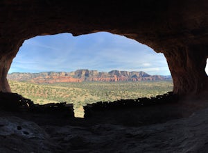
Robbers Roost
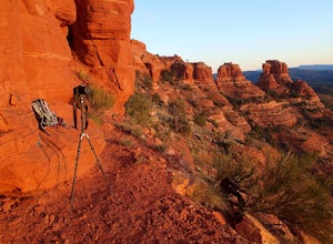
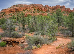
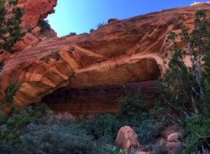
5.00.95 mi / 148 ft gainThe hike begins on the eastern side of the parking area. It is only a half mile hike but the views are amazing. Hike through the beautiful Sedona landscape of red rock and juniper before finding your way to this breathtaking cliff side view! Feel free to explore more of the mountain and find othe...Read more -
Camp Verde, Arizona
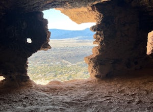
McDonald Trail
4.00.83 mi / 351 ft gainMcDonald Trail is an out-and-back trail that in Coconino National Forest located near Camp Verde, Arizona.Read more -
Sedona, Arizona
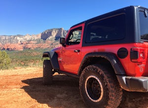
4X4 to Honanki Heritage Site
5.0One of Sedona’s best and most scenic drives, that happens to also lead to Native American ruins, has to be Loy Butte Road (FR-525). This route also forms the eastern half of the famous Outlaw 4×4 Jeep Trail. The road is very rough in places, especially during the latter part of the drive. The roa...Read more -
Sedona, Arizona
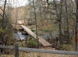
Hiking Kisva Trail in Red Rocks State Park
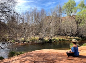
4.01.3 mi / 62 ft gainThis easy hike features a lovely creek and the beautiful red rocks of Sedona! This is a flat, shady, 1.3 mi hike and follows Oak Creek for a portion. Beautiful spots to stop and have a picnic or just relax and watch the birds. Lots of signage, and great to do with kids of all ages. If you’r...Read more -
Sedona, Arizona
Hike the Cockscomb Trail
1.5 mi / 330 ft gainThis is a wonderful less traveled trail that is fairly easy hiking, at least until you reach the base of the Cockscomb. It does not have much shade. I recommend hiking this trail late afternoon into sunset as the trail weaves between Doe Mountain and the Cockscomb on the west side. The setting su...Read more -
Sedona, Arizona
Hike to Bear Mountain
5.06 mi / 2000 ft gainBear Mountain is one of the more difficult hikes in Sedona but has very easy access. There is a parking area between Doe Mountain and Bear Mountain. The trailhead is across the street and the initial approach is very flat. The red rock bluff you first see on the approach is only part of B...Read more -
Sedona, Arizona
Hike Doe Mountain
5.01.4 mi / 400 ft gainThe trail begins almost immediately with some gradual switchbacks that climb up the mesa at a moderate incline. As you climb you will come to a trail junction with the Aerie trail about .3 in. At this junction just make sure to stay on the trail marked towards Doe Mountain and not on the Aerie tr...Read more -
Sedona, Arizona
Doe Mountain Trail
1.49 mi / 446 ft gainDoe Mountain Trail is a loop trail where you may see beautiful wildflowers located near Sedona, Arizona.Read more -
Yavapai County, Arizona
Hike to Montezuma's Well
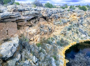
5.00.5 mi / 117 ft gainThis trail takes you to the rim of Montezuma Well, a massive collapsed limestone sinkhole. The springs at the bottom of the sinkhole feed a large pond which supports a unique aquatic habitat in this dry landscape. Scientists are still baffled as to the origin headwaters of the water within this c...Read more -
Sedona, Arizona
Hike the Baldwin Trail
3.3 mi / 105 ft gainAs with most areas in Sedona, you will need to have purchased a Red Rock Pass to park at the trailhead, which is located just south of Verde Valley Road. The trailhead, starting at an elevation of 3,950 feet, is well marked and the trail is defined. You have an option to either hike clockwise or ...Read more -
Sedona, Arizona
Explore Crescent Moon Ranch
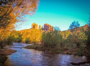
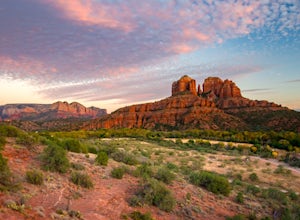
Crescent Moon Ranch was established in the 1880's, and now serves as a day use facility for the U.S. Forest Service. It lies on Oak Creek directly below Cathedral Rock, one of the most iconic towering monuments in Sedona. The ranch is beautiful, and is popular for picnic's, swimming, hiking, and ...Read more -
Sedona, Arizona
Fay Canyon Trail
3.82.56 mi / 666 ft gainLocated on the outskirts of Sedona's main attractions, Fay Canyon is a hidden gem. The Fay Canyon Trail is an easy, scenic hike that takes you through this lesser-known Sedona canyon. You won't see majestic open views like those of Bell Rock, but you will find gorgeous views, without the crowds. ...Read more -
Sedona, Arizona
Fay Canyon Arch
4.51.5 mi / 361 ft gain...The hike through Fay Canyon goes 1.25 miles to Box Canyon and is rated easy to moderate. To see Fay Canyon Arch though is a much shorter hike. From Boynton Pass Rd, park at Fay Canyon parking lot. The parking lot offers restrooms and a few picnic tables to relax at. The start of the trail is d...Read more -
Sedona, Arizona
Hike the Oak Creek Trail
4.51.1 mi / 26 ft gainGreat, short hike in Red Rock Crossing. Make sure to check out the hundreds of cairns at Buddha Beach. Beautiful views of Cathedral Rock. Lots of places to relax and have lunch, with picnic tables near the parking lot. Lots of parking, good amount of shade down near the creek. Good for all sk...Read more -
Sedona, Arizona
Hike or Bike Secret Slickrock Trail
5.00.8 mi / 107 ft gainWanting a short and sweet sunset or sunrise spot in Sedona away from some of the crowds? This easily accessible trail is great for people wanting picnics, a quick photography spot (we saw a couple from their wedding doing a photo shoot here), and a cool spot to watch the sun rise or set with the ...Read more -
Sedona, Arizona
Hike the Boynton Canyon Trail
5.06 miThis is my favorite trail in all of Sedona. The trail head is at the end of Boynton Canyon rd near the entrance of Enchanted Spa and Resort. The trail goes along the property of Enchanted Spa for about 1 mile. This is the rockiest part of the trail as you pass by a large cliff.Soon after leaving ...Read more

