Oak Creek Canyon, Arizona
Looking for the best hiking in Oak Creek Canyon? We've got you covered with the top trails, trips, hiking, backpacking, camping and more around Oak Creek Canyon. The detailed guides, photos, and reviews are all submitted by the Outbound community.
Top Hiking Spots in and near Oak Creek Canyon
-
Flagstaff, Arizona
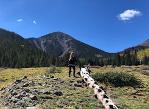
Hike Inner Basin Trail #29
5.03.2 mi / 757 ft gainWhen the golden fall color is at its peak is when this trail (and Locket Meadow camping) is the most popular. I recommend getting there as early as possible, because parking goes FAST. And note that the drive up to the trailhead is a bit sketchy as well… Beginning at Lockett Meadow, the start o...Read more -
Flagstaff, Arizona
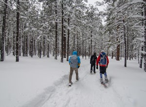
Snowshoe at the Arizona Nordic Village
2.5 miTo get to the Nordic Village from Flagstaff, just take the 180 North until you see the signs for the Nordic Village (on your right).Once at the Nordic Village, go inside the entrance building to buy your day pass ($10 for a snowshoeing day pass) and rent your gear. Feel free to bring your own sn...Read more -
Flagstaff, Arizona
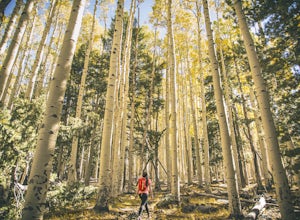
Abineau-Bear Jaw Loop
5.07.04 mi / 2031 ft gainThis trail is slightly more hidden on the northern slope of the San Francisco Peaks, but well worth the drive just outside of Flagstaff. Do it during the last week of September, when summer gives it’s last wave goodbye in a spectacle of electric yellow aspen groves. With the exception of occasion...Read more -
Flagstaff, Arizona
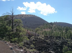
Hike the Lava Flow Trail at Sunset Crater Volcano National Monument
5.01 miGet started on the hike from the parking lot. The first quarter mile is paved and very easy to walk. The rest of the trail takes you to the base of the volcano through lava flows and tubes. This is an incredible landscape to take in along your hike.Read more -
Happy Jack, Arizona
Car Camp the Mogollon Rim
4.8The Mogollon Rim is part of the Colorado Plateau in eastern Arizona above Payson. The rim stretches across the Coconino National Forest and at some parts drops off nearly 2,000ft. This area is ideal for over-night car-camping. The expansive vistas above thousands of acres of national forest land ...Read more -
Pine, Arizona
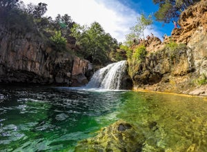
Fossil Creek Falls
4.82.42 mi / 328 ft gainThe journey is definitely worth it! Don't let the description discourage you from visiting here. This is simply to help you be prepared so that you can enjoy this wonderful place as safely as possible! Fossil Creek Rd can only be accessed from Camp Verde via FH 9 (Hwy 260) and FR 708 due to road...Read more -
Pine, Arizona
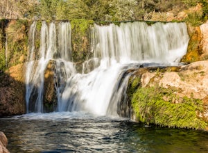
Bob Bear Trail
5.08.58 mi / 1650 ft gainThe Bob Bear Trail (formerly Fossil Springs Trail) is a 8.3 mile out-and-back hike that takes you through a challenging, exposed trail to a waterfall in Tonto NF near Pine, AZ. Make sure you bring plenty of water for this hike 2-3L per person and give yourself ample time to get out and back. This...Read more -
Winslow, Arizona
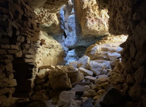
Apache Death Cave
0.42 mi / 23 ft gain...Just off Highway 40 in-between Flagstaff and Winslow Arizona, sits an abandoned ghost town called "Two Guns". I can't tell you how many times I've driven on the 40 (East or West) and had no idea this was here. This time around I made it a priority to stop and check this place out. For anyone t...Read more -
Yavapai County, Arizona
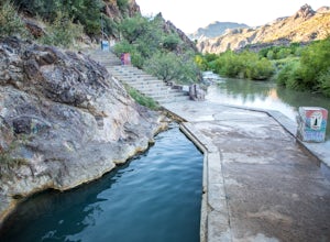
Verde Hot Springs
3.32.46 mi / 118 ft gainThe pools at the Verde Hot springs are the remnants from an old resort built in the 1920's. The resort was a once thriving tourist attraction and also rumored to be one of Al Capone's hideouts. In the 1960's a fire destroyed the resort only leaving behind the foundation and the thermal pools al...Read more -
Mayer, Arizona
Verde Rim Loop Trail
14.32 mi / 2631 ft gainVerde Rim Loop Trail is a loop trail where you may see beautiful wildflowers located near Camp Verde, Arizona.Read more -
Payson, Arizona
Cabin Loop Trail
18.82 mi / 2028 ft gainPeople think Arizona is all just desert, but this hike will show you otherwise. Up on the Mogollon Rim, this trail takes you past old cabins, through lush forest, and near many creeks. Day 1: (10 miles) Drive on Rim Road to the General Springs Trail Head. The cabin marks the start of the tr...Read more -
Payson, Arizona
Mogollon Rim via Washington Park
4.04.32 mi / 1138 ft gainThis trail begins at the Washington Park Trailhead which meets up with passage #27 of the AZT. You begin traveling northbound as you ascend the great Mogollon Rim. The trail takes you through a gorgeous forest and rewards you with an awesome cliff side view at the summit. 2.25 miles into the tra...Read more -
Payson, Arizona
Hike the Colonel Devin Trail
4 mi / 1116 ft gainThe hike will begin at Washington Park in Payson, Arizona. To reach Washington Park, take AZ87 to Forest Road 199 (Houston Mesa Road) and turn east. Continue for 10 miles until you reach Forest Road 64 and turn west. Traveling less than a mile you will turn north on Forest Road 32 and in 3 miles ...Read more -
Pine, Arizona
Hike the Pine Creek Loop in Tonto Natural Bridge SP
4.71.8 mi / 300 ft gainThere is a fee to enter this area. It was $7 when we went. There are 4 trails with many viewpoints from the parking lot, all of which are out and back. We followed the recommendation of the ranger working at the visitor's center and took the Gowan Trail down to the observation deck located in the...Read more -
Prescott, Arizona
Camp at Watson Lake in Prescott
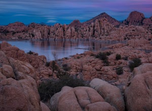
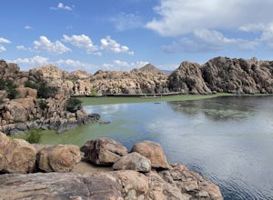
3.0Camping sites are only available in the summer months but the park is explorable year round! Watson Lake is a very unique place, in a state primarily made up of sandstone lies a lake surrounded by uniquely shaped Granite Boulders, excellent for hiking, rock climbing and photographing! Be sure to ...Read more -
Prescott, Arizona
Watson Lake and Flume Trail Loop
4.63 mi / 381 ft gainThe Watson Lake and Flume Trail is a 4.5 mile loop hike that takes you next to Watson Lake near Prescott, AZ. This trail also makes for a great workout if you throw on your running shoes. Keep in mind there is no shade, so pack water and sunscreen accordingly. Thinking about getting on the wate...Read more

