Arizona
Looking for the best hiking in Arizona? We've got you covered with the top trails, trips, hiking, backpacking, camping and more around Arizona. The detailed guides, photos, and reviews are all submitted by the Outbound community.
Top Hiking Spots in and near Arizona
-
Phoenix, Arizona
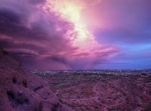
Hike the West Park Loop Trail in Papago Park
4.44 miThis trail begins from the parking lot on the west side of Galvin Parkway. To the east of the parking lot is a single track, dirt trail that heads north towards the big buttes. It continues counterclockwise around the big butte and heads south around the smaller butte. It continues west around th...Read more -
Apache Junction, Arizona
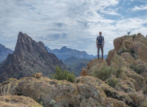
Hike Battleship Mountain
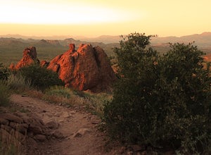
5.011.5 mi / 443 ft gainBattleship Mountain is nestled within the Superstition Mountains, surrounded by dramatic peaks and desert landscapes. The hike itself is beautiful, and the views once on top of Battleship Mountain are exceptional. The diversity and uniqueness of geological formations in the mountains surrounding ...Read more -
Sedona, Arizona
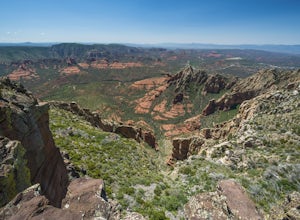
Hike to the Wilson Mountain Summit - South Overlook
4.59.5 mi / 2600 ft gainEver wanted to see Sedona from a bird’s eye view? Sure, you could spring for a helicopter tour. Or…you could hike Wilson Mountain Summit! No other location in Sedona will offer you a view that is so expansive and so breathtaking (and one where you are actually looking DOWN on the helicopters givi...Read more -
Apache Junction, Arizona
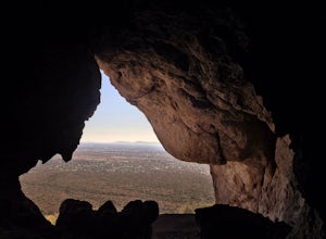
Monument Canyon and Broadway Cave
3.63.69 mi / 866 ft gain...Who doesn't enjoy a short adventure to an scenic location?! If I were to guess, I'd say a good majority of us. This four mile, low trafficked hike to the Broadway Cave will lead you to one of the best spots to hang out or watch the sunset. The Broadway trailhead is located by taking Highway 60...Read more -
Young, Arizona
Camping on Roosevelt Lake Overlook
5.0Stumbled upon this phenomenal spot while dual-sporting through the Sierra Ancha range.Turning off 188 the Globe-Young Highway winds down into a valley and crosses the Salt River before passing some small homesteads and farms. It then climbs into the foothills of the Sierra Ancha mountain range. A...Read more -
Whiteriver, Arizona
Pacheta Falls
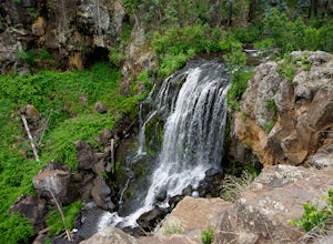
5.02.37 mi / 187 ft gainPacheta Falls is spectacular and worth the several hour drive over washboard roads and you explore the high country of Arizona. You will be on the White Mountain Apache Reservation, so please take note: You need to purchase a Special Use PermitNo swimming allowed4x4 with additional clearance re...Read more -
Coconino County, Arizona
Camp at Knoll Lake
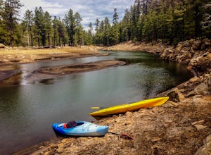
5.0The Campground is seasonal and is located on the left just before the lake. There are 33 well-developed units that offer fire-rings, grills, drinking water and vault toilets. No reservations are accepted and you will need to check in with the camp host. From central Phoenix, take Loop 202 east to...Read more -
Apache Junction, Arizona
Treasure Loop Trail
4.82.34 mi / 571 ft gainLocated about 40 miles east of Phoenix right off AZ-88 E/N Apache Trail. The initial trail begins at an elevation of 2000 feet within the Sonoran Desert. The trail can be accessed via the Cholla (northern side) Day-use Area or the Saguaro (southern) Day-use Area. Once you're on the trail you wil...Read more -
Littlefield, Arizona
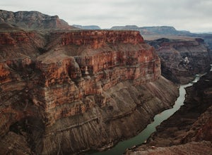
Explore the Toroweap Overlook
5.0Toroweap Overlook can be accessed via Country Road #109, 8 miles west of Fredonia, AZ. It's about a two hour drive along a dirt road, with the final stretch becoming much more technical over larger rocks (a truck with high clearance is recommended). Tuweep Campground is the only area you're allo...Read more -
Scottsdale, Arizona
Gateway Loop
4.54.32 mi / 764 ft gainThe Gateway Trailhead is one access point into the McDowell Sonoran Conservancy in Scottsdale and is my favorite “Gateway” into the treasure trove of great trails and vistas in the McDowell Mountains. The Gateway Trailhead provides great accessibility for a quick hike or trail run at the end of t...Read more -
Willcox, Arizona
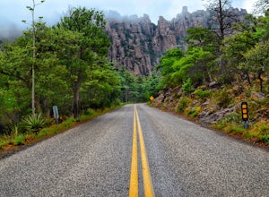
Camp at Chiricahua National Monument's Bonita Canyon
5.0Looking for an authentic hiking and camping weekend? Then the Bonita Canyon Campground in Chiricahua National Monument is your ticket. The Chiricahua National Monument is a uniquely beautiful place. There are wonderful hiking trails, some of the best in Arizona. The rock formations are the attrac...Read more -
Sedona, Arizona
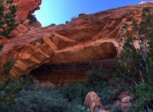
Fay Canyon Arch
4.51.5 mi / 361 ft gain...The hike through Fay Canyon goes 1.25 miles to Box Canyon and is rated easy to moderate. To see Fay Canyon Arch though is a much shorter hike. From Boynton Pass Rd, park at Fay Canyon parking lot. The parking lot offers restrooms and a few picnic tables to relax at. The start of the trail is d...Read more -
Flagstaff, Arizona
Hike Fatman's Loop
5.02.5 mi / 690 ft gainSitting on the eastern slope of Mt Elden is a super fun multi-use trail called Fatman's Loop. It's a perfect spot for hiking, trail running, day strolling, or walking the pup. All the while, treating you to glimpses of the eastern suburbs of Flagstaff, beautiful wild flowers, and cool rock format...Read more -
Sedona, Arizona
Hike up Cookstove Trail
1.6 mi / 800 ft gainEither a compliment to a night spent at the Pine Flat Campground or a quick day hike to top of your Sedona/Oak Creek adventure, this short hike will give you an alternative, but comparatively gorgeous view of the Sedona Area.This trail starts just north of Pine Flat Campground near milepost 387 a...Read more -
North Rim, Arizona
Hike and Camp at Nankoweap Granaries
5.02 mi / 700 ft gainHiking to the Nankoweap Granaries can be done in a few ways but the two most popular routes is by boat along the Colorado River or the unmaintained Nankoweap trail, which is considered by most and the park services the most difficult named trail. Nankoweap Creek drains into the Colorado creating ...Read more -
Page, Arizona
Hike through Mountain Sheep Canyon
1.5 mi / 100 ft gainAs its name suggests, Mountain Sheep Canyon offers a rugged feel and more strenuous hike than the other slot canyons in the neighborhood (Antelope Canyon and Rattlesnake Canyon). The trek is longer than it is for the other canyons (about three-quarters of a mile), and there is quite a bit of scal...Read more

