Aravaipa Canyon Wilderness, Arizona
Looking for the best hiking in Aravaipa Canyon Wilderness? We've got you covered with the top trails, trips, hiking, backpacking, camping and more around Aravaipa Canyon Wilderness. The detailed guides, photos, and reviews are all submitted by the Outbound community.
Top Hiking Spots in and near Aravaipa Canyon Wilderness
-
Winkelman, Arizona
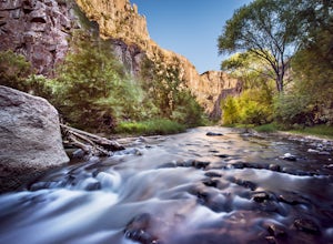
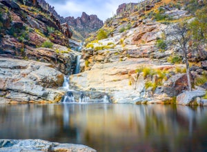
Hike Aravaipa Canyon
5.08 mi / 200 ft gainWelcome to the beauty of wilderness and serenity! Within the boundaries of Aravaipa Canyon, you will not find any designated trails, campsites, or facilities. This canyon is one of Arizona’s hidden gems, and it is not mentioned in many travel books or in international travel magazines – yet. ...Read more -
Mount Lemmon, Arizona
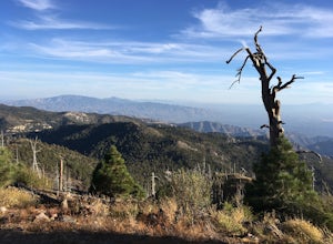
Hike Mint Springs Trail
5 mi / 2000 ft gainThis hike begins in the town of Summerhaven in Mount Lemmon, Tuscon AZ. This is after about an hour long drive up a 25 mile paved, winding road. Any car can access this trail-head easily. Once you reach Summerhaven, drive up Carter Canyon Rd. Park at the end of the road. Do not enter any private ...Read more -
Mount Lemmon, Arizona
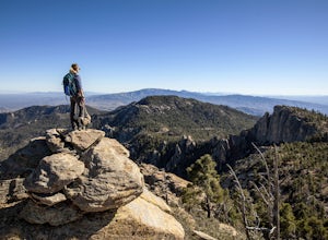
Hike Incinerator Ridge to Leopold Point
5.03.2 mi / 800 ft gainStarting out at San Pedro Vista Trailhead, located just off the shoulder of the Catalina Highway, this trail follows along the ridgeline, drops to a small saddle, and terminates at a gorgeous vista: Leopold Point. There is only 1 sign that you will come across that actually designates it as Incin...Read more -
Tucson, Arizona
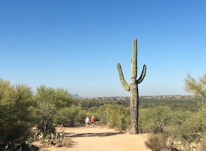
Canyon Loop Trail in Catalina State Park
2.26 mi / 180 ft gainThe Canyon Loop trail is an easy hike through the foothills that begins and ends at the Trailhead parking lot. (End of the road when you enter Catalina State Park from Oracle Rd - entrance fee required) The loop is relatively flat, although starts with a short uphill burst before leveling off. ...Read more -
Tucson, Arizona
Camp at Molino Basin
0 mi / 0 ft gainMolino Basin Campground is the only campground of the Catalina District of the Forest Service to be open year round due to its lower elevation at only 4500'. Its position along the Mount Lemmon Highway makes Molino Basin a perfect basecamp for further adventures in the Santa Catalina Mountains, a...Read more -
Tucson, Arizona
Romero Pools via Romero Canyon
4.85.52 mi / 1155 ft gainTo enter the Catalina State Park costs $7 per vehicle with up to four adults. You then drive to the trailhead parking lot. There will be a restroom and a very small shop there. From the trailhead, you almost immediately crosse Sutherland Wash, which flows seasonally. The first 1.1 miles is relati...Read more -
Catalina Foothills, Arizona
Hike the Sabino Canyon Trail
4.7This popular trail is a paved road that crosses 9 stone bridges over Sabino Creek. The creek itself is pretty dry most of the year, but after a rain it's a wonderful place to cool off and escape from the merciless desert heat. Hikers, cyclists and equestrians alike share and enjoy the trail. Ther...Read more -
Catalina Foothills, Arizona
Hike Blackette's Ridge
5.05.84 mi / 1500 ft gainStarting from the Sabino Canyon Recreation Area you'll want to follow signs for the Bear Canyon Trail. Don't worry about how busy it seems - most of the people you see are probably only going as far as the dam or picnic areas. There is a good chance that you'll have the top all to yourself especi...Read more -
Tucson, Arizona
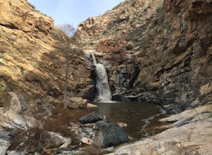
Seven Falls via Bear Canyon
5.08.3 mi / 917 ft gainAt the main parking lot of Sabino Canyon, there are a few different trams you can take to nearby trailheads. You have the option to either hop on a tram that will take you to the 7 Falls trailhead for $4 a person, or walk the 2 miles yourself. Once at the trailhead, signs will lead you into Bear ...Read more -
Tucson, Arizona
Tanque Verde Falls
4.21.93 mi / 430 ft gainThis hike starts at the Lower Tanque Verde Falls Trailhead, which is a well marked dirt lot on the left side of Reddington Road. A 4x4 would probably make the last half mile or so easier when the road turns to dirt but I made it to the trailhead in a Toyota Carolla without any trouble, so don't l...Read more -
Superior, Arizona
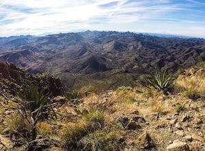
Hike Picketpost Mountain
4.74.4 mi / 2200 ft gainFrom the parking lot you will start out on the Arizona Trail until you reach the turn off to begin your accent up the mountain. This part of the trail isn't well maintained, and is a scramble, so be ready to use those hands. The trail is marked with cairns though and there is enough traffic tha...Read more

