Sylacauga, Alabama
Looking for the best photography in Sylacauga? We've got you covered with the top trails, trips, hiking, backpacking, camping and more around Sylacauga. The detailed guides, photos, and reviews are all submitted by the Outbound community.
Top Photography Spots in and near Sylacauga
-
Sylacauga, Alabama
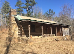
Hike to the Flagg Mountain Tower and Cabins
4 mi / 400 ft gainFlagg Mountain lookout tower and the cabins are inside the Weogufka State Forest. The state forest also has around 4 miles of hiking trails plus the entire Coosa WMA trails. The cabins and tower were built by the CCC to be part of a state park that was never finished, but the Alabama Forestry Com...Read more -
Birmingham, Alabama
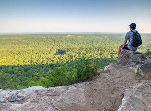
King's Chair Overlook
4.63.61 mi / 600 ft gainThe pin leads you to the parking lot of Oak Mountain State Park. To get into Oak Mountain State Park there is a $5 fee. From the parking lot, the trail head is easily visible and right across the road. The trails split in a couple of different directions at the trail head, but to go to the King's...Read more -
Munford, Alabama
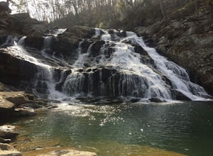
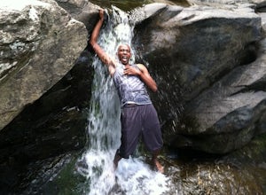
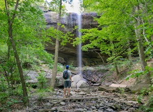
Salt Creek Falls
4.00.38 mi / 121 ft gainThe point on the map takes you to a small pull off on the side of the road. Park here and walk over the small dirt mound blocking vehicles from going down the trail. It is less than half a mile to the top of the falls. This is the easy part of the hike though. There is a small trail that leads do...Read more -
Lineville, Alabama
Chinnabee Silent Trail to Cheaha Falls
1.98 mi / 210 ft gainThe valley at the base of Mount Cheaha is home to several picturesque waterfalls flowing out of Cheaha Lake. Many of these small waterfalls are accessible on the Chinnabee Silent Trail, including Cheaha Falls. Following SR 281 further down the mountain from the park offices, you’ll come to the ...Read more -
Lineville, Alabama
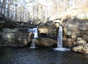
Hike Lake Chinnabee to Devil's Den Falls
1 mi / 120 ft gainDevil's Den Falls is a beautiful waterfall in Cheaha State Park. This is a state park within Talladega National Forest. The easiest access is from Lake Chinnabee which is about one mile round trip from the parking area. It can also be accessed from Turnipseed campground, but that is about six mil...Read more -
Birmingham, Alabama
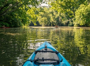
Kayak the Cahaba River
3.0There are several places you can drop your kayak in. This is one of the more accessible spots. Another popular spot for dropping in your kayak is located on Grants Mill Road. If coming from I459, it will be on your left shortly after passing Church of the Highlands. We opted to drop our kayaks in...Read more -
Delta, Alabama
McDill Point via Cheaha Trailhead
4.66.78 mi / 1024 ft gainStart hiking at Cheaha Trailhead, located at the far end of a parking area just before you get to Cheaha State Park on Highway 281. Follow the Cave Creek Trail until you reach the Pinhoti connector, and hang a right to take the Pinhoti Trail northbound. Look for a sign that points to McDill overl...Read more -
Delta, Alabama
Cave Creek/Pinhoti Trail Loop
6.78 mi / 1024 ft gainThe Cave Creek Trail is a very comfortable, three-mile trail with some amazing views and relatively little elevation gain. At roughly two miles along the trail, you’ll come to a rocky overlook facing the south. This area provides a nice place to stop and rest or even eat a nice picnic lunch. Roug...Read more -
Delta, Alabama
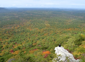
Hike to Pulpit Rock
5.02 mi / 100 ft gainAtop a rocky perch on the side of Mt. Cheaha (the highest point in Alabama), you'll have a breathtaking view and ample opportunities for photography. The trail to Pulpit Rock in Cheaha State Park, near Anniston, AL is a mere mile. The terrain is not too challenging, but it is a bit steep on the w...Read more -
Delta, Alabama
Take in the View from Bald Rock in Cheaha State Park
3.51 mi / 1 ft gainBald Rock is maybe the most easily accessible views I have ever experienced. This is not to lessen the beauty of the location, but to convey that this spot is quite fool-proof, and can be enjoyed by literally anyone. However, I do recommend this view at sunrise during the summer because of how cr...Read more -
Jacksons' Gap, Alabama
Smith Mountain Fire Tower (Lake Martin)
4.40.8 mi / 215 ft gainThe Smith Mountain Fire Tower is the perfect location to get a glimpse of the vastness of one of the largest man made lakes in the United States. From the parking lot, the stroll up to the base of the fire tower follows a steep pathway for about a half mile. The hike is very easy to follow and th...Read more -
Hoover, Alabama
Exploring Moss Rock Preserve
5.00.5 mi / 164 ft gainHome to one of the largest boulder fields in Southeast, Moss Rock Preserve provides adventure for all types of explorers. Nestled in the rocky, rolling hills of Birmingham, at the end of the Appalachian Mountains, Moss Rock is aptly named after the behemoth boulders littered throughout its charmi...Read more -
Birmingham, Alabama
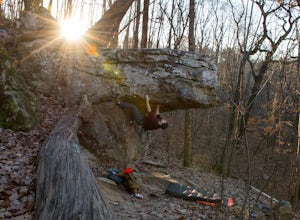
Bouldering at Moss Rock Preserve
5.01 mi / -50 ft gainMoss Rock has abundant parking, and easy access to all climbing areas. There is no fee for use or facilities, however there are several small local restaurants and often times a food truck within walking distance of the parking lot.There are two major bouldering areas as well as hiking trails and...Read more -
Montevallo, Alabama
Falling Rock Falls
3.91.83 mi / 243 ft gainThe location of the pin leads you to a gravel road with a gated entrance. Park at the white gate and start to hike up the gravel road. The hike is not very strenuous and the waterfall is pretty easy to find. As you hike up the road for a little while the road will fork. Go left at the fork and co...Read more -
Wetumpka, Alabama
Hike Swayback Bridge Trail
4.6 mi / 272 ft gainJust 15 miles and 20 minutes north of central Alabama’s capital city, Montgomery. You will usually meet someone, but rarely find Swayback Bridge area crowded. It is a classic compact hiking and biking trail in central Alabama. Designed as a single track biking trail system bikers and hikers mingl...Read more -
Wetumpka, Alabama
Fishing Trail in Jordan Dam
2 mi / 99 ft gainThis is an iconic spot in central Alabama. It is below the great fishing lake Jordan, and above the most common entry for the Coosa River kayaking adventure. Approximately a one mile hike from the dam to the boat launch. However, the rock formations you have to cross are not for the faint of hea...Read more

