Wilderswil, Switzerland
Looking for the best photography in Wilderswil? We've got you covered with the top trails, trips, hiking, backpacking, camping and more around Wilderswil. The detailed guides, photos, and reviews are all submitted by the Outbound community.
Top Photography Spots in and near Wilderswil
-
Interlaken, Switzerland
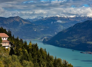
Hike to Harder Kulm
5.05 mi / 2400 ft gainThere are a few different ways to reach the top of Harder Kulm, which are mainly dependent upon your budget and fitness level. The way many people reach the top is by a cable car, that depending on when you go, can cost around CHF 32.00, which is close to USD 32.00. The alternative way is by trai...Read more -
Gündlischwand, Switzerland
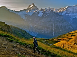
Trek in the Swiss Alps
68 miThe Trek: Words cannot describe the unparalleled beauty and scenery you will experience on this trek. The journey starts at Schynige Platte where you get your first up-close glimpse of the Berner Oberland including the Eiger, Jungfrau, Monch, and Wetterhorn. From there you will wind up and down t...Read more -
Lauterbrunnen, Switzerland
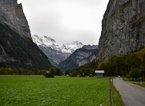
Explore the Valley of Lauterbrunnen
5.03.5 mi / 200 ft gainIf you're looking for a day in-between the big hiking days or a relaxing walk, Laterbrunnen is the place to be. Its one of those places that you always see in the pictures and I'll be the first to say it definitely lived up to its expectations. Its a smaller town up in the mountains, that can be ...Read more -
Grindelwald, Switzerland
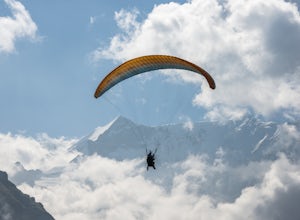
Paraglide in the Swiss Alps
5.0There are few places that are quite as magical as the Swiss Alps. Towering peaks, rich culture, iconic architecture, and rolling green pastures; it's a storybook setting. While there are a multitude of ways to enjoy Switzerland, paragliding amidst the Swiss Alps tops the list. Once the snow melts...Read more -
Grindelwald, Switzerland
First to Balchalpsee
3.69 mi / 551 ft gainFirst to Balchalpsee is a 4-mile out-and-back trail. I did it on a rainy overcast day and the views were still spectacular. At a moderate pace, it took only 1 hour to complete the out-and-back hiking portion, with 20 minutes spent at the lake overlooking the glaciers. There is a fee to ride the...Read more -
Kandersteg, Switzerland
Hike Oeschinensee Lake and Blumlisalp Hut
4.06 mi / 2000 ft gainWords and photos cannot accurately depict the beauty you will find in this area. The breathtaking emerald waters of Oeschinen Lake are the highlight of this incredible hike that requires little effort reach. The surrounding Alps provide and unbeatable backdrop, and in warmer months, multiple wate...Read more -
Kandersteg, Switzerland
Hike over Bunderchrinde Pass in the Bernese Alps
5.010 mi / 4000 ft gainThe hike starts in the town of Kandersteg and ends in the town of Adelboden. If you want to make it an out-and-back, you can hike from Kandersteg to Bunderchrinde Pass then back down.Getting to Kandersteg from any major city by train is easy. From the train station, follow the "yellow" signs to B...Read more -
Bettmeralp, Switzerland
Hike the Swiss Alps
4.04 mi / 250 ft gainThis beautiful 4 mile hike takes you past several small lakes and ponds, and offers amazing views of the backside of the Matterhorn.To hike around the Jungfrau-Aletsch glacier and Alps, begin at Bettmersee Lake, just next to the village. Facing the lake, with the village behind you, head left and...Read more -
Bettmeralp, Switzerland
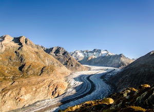
Hiking Along The Great Aletsch Glacier
From Bettmersee Lake follow the trail northeast to "Biel". There's some elevation gain until you reach a large, wider bend in the the trail at Biel, from where you have an incredible view of the Aletsch Glacier and the Swiss Alps, including the Matterhorn.Facing the Glacier, head left and follow ...Read more -
Leukerbad, Switzerland
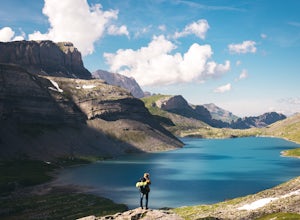
Hike Majing Lake
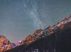
2.5 mi / 656.2 ft gainIf you want to get great night views on your hike out, start at 2 am in the village of Leukerbad. There's parking at "Obere Maressen", which is also the starting point. Follow the track to Majingsee. There are multiple routes to the lake but make sure to stay on this trail - it's definetely the b...Read more -
Leukerbad, Switzerland
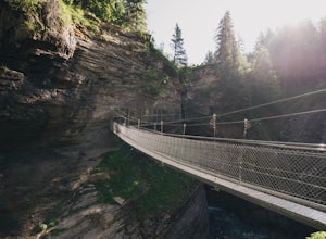
Explore Dala Gorge
Start at "Obere Maressen" and follow the walkway through the forest. You'll find detailled informations at a clearing just before the gorge.The bridges leading through the gorge are safe to use, but that doesn't mean you won't need to be careful. Make use of the numerous viewing platforms and ben...Read more -
Leukerbad, Switzerland
Lake Dauben Loop
3.08 mi / 312 ft gainLake Dauben (Daubensee in German) is located on Gemmi Pass, an ancient high mountain pass that has been walked since the Middle Ages – even Sherlock Holmes walks this route in "The Final Problem"! The lake has a subsurface runoff and drains completely in late autumn, but the trip can also be done...Read more -
Leukerbad, Switzerland
Hike to Lämmeren Cabin and Lake
5 mi / 492.1 ft gainTake the cable way from Leukerbad to Gemmi Pass. Facing away from the mountain station (north), head left (west) and follow the track to "Lämmerenhütte" (Lämmeren Cabin). The track leads through a small tunnel that was once built by the Swiss Army.The tunnel leads to the glacier forefield of the ...Read more -
Leukerbad, Switzerland
Hiking on Torrenthorn
1862.2 mi / 2132.5 ft gainStart in the early morning by taking the cable way (either from Leukerbad or Flaschen valley station) to Rinderhütte. The trail from Rinderhütte to Torrenthorn is nicely done and well marked so you won't need to climb. However, depending on the amount of gear you have in your backpack it can be q...Read more -
Obergoms VS, Switzerland
Photograph the Rhône Glacier
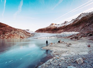
4.8 mi / 1686.4 ft gainHead for one of the highest mountain passes in the Swiss Alps, the Furkapass. It connects Gletsch, Valais with Realp, Uri. On the way, take a look at the awesome little church in Gletsch, a small town that looks pretty spooky during off-season! It's a perfect spot to watch or take pictures of the...Read more -
Icogne, Switzerland
Hike the Bisse du Ro to Lac de Tseuzier
11.9 mi / 1387.8 ft gainThe trail along the Bisse du Ro has its origins in the 15th-century Swiss villagers who painstakingly carved water canals out of the mountainsides in order to irrigate the farmlands of the Valais. It hugs the cliffs all the way to the Ertentse River, with stunning mountain panoramas across the va...Read more

