Schwangau, Germany
Looking for the best hiking in Schwangau? We've got you covered with the top trails, trips, hiking, backpacking, camping and more around Schwangau. The detailed guides, photos, and reviews are all submitted by the Outbound community.
Top Hiking Spots in and near Schwangau
-
Schwangau, Germany
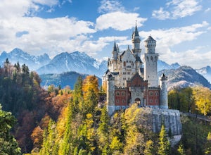
Hike up Pöllartschlucht to the Best Views of Schloss Neuschwanstein
5.01.2 mi / 656.2 ft gainStarting at the Castle of Neuschwanstein, you will hike up the Pöllartschlucht (it's a ravine with a creek) until the first big waterfall. You then go up a really steep mountainside fully overgrown with all kind of plants and trees. Hiking up the Pöllartschlucht is easy as you can follow a broad ...Read more -
Gemeinde Reutte, Austria
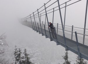
Hike along Highline179
1.2 mi / 400 ft gainHike to this amazing 376 foot high suspension bridge that spans 1329 feet across the a valley in the beautiful mountainous Tyrol region of the Austrian Alps. The bridge spans the B179 highway, connecting the old Roman Fort Claudia and the 700 year old Ehrenberg castle. This hike is breath taking ...Read more -
Grainau, Germany
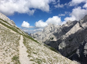
Hike Höllental Gorge to Lake Eibsee via Riffelscharte Peaks
9.1 mi / 4757.2 ft gainThis trail starts out right where one of the paths lead up to Zugspitze (Germany's highest mountain) but we take the route via Riffelscharte down to Eibsee. The tour starts from Hammersbach (parking available) through the spectacular Höllentalklamm gorge. At the end of the gorge, you can rest, ea...Read more -
Grainau, Germany
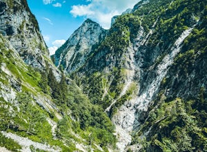
Hike Höllentalanger to Höllentalangerhütte
8.2 mi / 2400 ft gainStarting from the parking lot, walk 500m to the trail head. The hike begins with a gravel path that winds up an initial climb and spills out onto a gravel road. The marked trail leads to a hut that serves as the entrance to the gorge. The hut serves light food, drinks, and has free bathrooms avai...Read more -
Bad Hindelang, Germany
Hike up to Lake Schrecksee
5.010.6 mi / 4160.1 ft gainLake Schrecksee lies squeezed in the Bavarian Alps and is well signposted from the trailhead. Especially during summer this location is popular as a swim in the alpine lake will cool you off!To get there drive towards Hinterstein in the Allgaeu region. Follow the small main street until there is ...Read more -
Garmisch-Partenkirchen, Germany
Hike Zugspitze via Reintal
5.0Starting at the Olympic Ski Jump in Garmisch-Partenkirchen (708 m), walk toward the mountains along Wildenauer Strasse and follow signs to the Partnach Gorge (Partnachklamm). There is a fee of 3 Euros per person to enter the gorge, but it is definitely worth seeing (and hearing.) If you arrive at...Read more -
Garmisch-Partenkirchen, Germany
Hike through the Partnach Gorge in Garmisch-Partenkirchen
4.02 mi / 600 ft gainThis was my first adventure during my visit to Germany. The hike starts at the historic 1936 winter olympics venue, Olympic-Skistadion stadium. The preserved stadium adorns the same sculptures and features found during the 1936 winter games. After taking in the olympic history, follow the sign...Read more -
Mittenwald, Germany
Hike Westliche Karwendelspitze
8 mi / 6000 ft gainStarting at the base of the Karwendelbahn, follow signs under the roadway and up the hill. From there, follow the yellow signs to the Dammkarhütte. This portion of the hike is relatively easygoing, but the last little bit up to the hut involves quite a bit of shale, so be prepared to take your ti...Read more -
Seefeld in Tirol, Austria
Hike to the Brunschkopf
Starting from the tennis hall in Seefeld, follow the path towards Mösern which goes across the meadows. When you get to Mösern you'll see trails for the Möserer See and the Möserer See Stube. For the hike to the Brunschkopf, you don't actually pass the lake. It's a short detour off the trail but ...Read more -
Kochel am See, Germany
Hike the Heimgarten/Herzogstand Trail
5.09.3 mi / 4055.1 ft gainThe Heimgarten/Herzogstand trail is a famous one and there's a reason why: a great hike with outstanding views! Its close vicinity to the Kochelsee and Walchensee only make it even more attractive, since you can cool off with a swim in one of the lakes if you're done hiking and enjoying the views...Read more -
Grinzens, Austria
Hike to Salfeins
5.04.4 mi / 3211.9 ft gainThe trail begins next to the Sportplatz in the village of Grinzens, just outside of Innsbruck. The trail begins as a gravel road, but within a few meters it splits. You can either take route 51 which follows the gravel road or route 52 which cuts through the forest. We chose to follow route 52 on...Read more -
8 Florengasse, Austria
Hike To The Kemater Alm
7 mi / 2040.7 ft gainTake the bus from Innsbruck to Grinzens or if you have a car, park in the village of Grinzens at the Sportplatz. From here already you can see signs to the Kemater Alm. The route is really simple. Just follow the dirt road straight through the forest and deeper in to the valley. For the first ha...Read more -
Innsbruck, Austria
Hike Around Each Stop of the Nordkettenbahnen
5.00.5 miThe Nordkettenbahnen starts in the town center area of Innsbruck and takes you first to Alpenzoo and then to an end stop. These first two stops are on a funicular. Once you get to the end of the funicular, you will then transfer to the actual bahn (lift) which will take you up to the Seegrube sto...Read more -
Axamer Lizum, Austria
Hike up Hoadl at Axamer Lizum
5 mi / 2739.5 ft gainIf you are looking for somewhere to watch one of the best sunsets in Tirol, then Axamer Lizum might just be that place. Whilst this area is perhaps better known as being a ski resort in winter, it has some of the most picturesque hiking close to the city of Innsbruck, being at the foot of the Kal...Read more -
Sankt Anton am Arlberg, Austria
Maienweg Trail to St Christoph
3.85 mi / 1818 ft gainThis demanding, but scenic route ascends from St Anton to St Christoph. Begin in town, following the trail under the Galzigbahn to the Sennhütte. From here, the trail is a bit more gradual as it traverses the valley. Eventually, you'll take a sharp right turn and climb sharply up many switchbacks...Read more -
Sankt Anton am Arlberg, Austria
Arlenweg Loop
4.11 mi / 1165 ft gainArlenweg Loop, easily accessible from St Anton, has views aplenty. If you go counter-clockwise, you can start from anywhere in central St Anton and head towards Nasserein. Follow signs for the Arlenweg. The trail climbs through lush forest for a bit before leveling off to traverse the mountainsid...Read more

