Obernberg am Brenner, Austria
Looking for the best photography in Obernberg am Brenner? We've got you covered with the top trails, trips, hiking, backpacking, camping and more around Obernberg am Brenner. The detailed guides, photos, and reviews are all submitted by the Outbound community.
Top Photography Spots in and near Obernberg am Brenner
-
Mittenwald, Germany
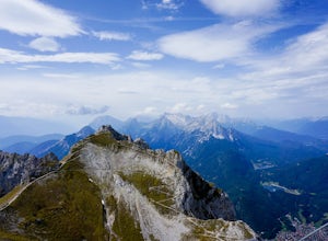
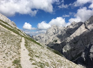
Hike Westliche Karwendelspitze
8 mi / 6000 ft gainStarting at the base of the Karwendelbahn, follow signs under the roadway and up the hill. From there, follow the yellow signs to the Dammkarhütte. This portion of the hike is relatively easygoing, but the last little bit up to the hut involves quite a bit of shale, so be prepared to take your ti...Read more -
Santa Cristina Valgardena, Italy
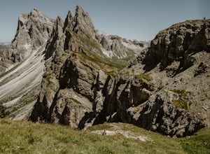
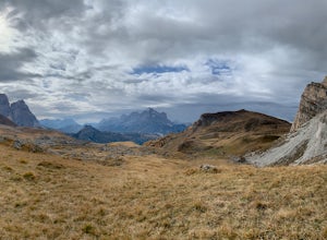
Hike from Col Raiser to Seceda in the Dolomites
Seceda is one of the most famous (and most photographed) spots in all of the Italian Dolomites. This summer I decided to finally visit it to see if it was really worth the hype, and to see if there was a way to escape the worst of the crowds.Most tourists visit Seceda from Ortisei, taking the cab...Read more -
Landeck, Austria
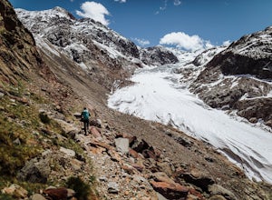
Hike to the Gepatschferner Glacier Tongue
4.2 mi / 1640.4 ft gainOnce you pass the toll station for the Kauntertal Glacier Road, you keep following the road past the reservoir and up to the waterfall and climbing garden. This is where you park the car and start the hike, following the signs for route 902 to the Rauhekopfhütte.For the first hour, your are mostl...Read more -
Garmisch-Partenkirchen, Germany
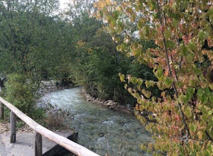
Hike through the Partnach Gorge in Garmisch-Partenkirchen
4.02 mi / 600 ft gainThis was my first adventure during my visit to Germany. The hike starts at the historic 1936 winter olympics venue, Olympic-Skistadion stadium. The preserved stadium adorns the same sculptures and features found during the 1936 winter games. After taking in the olympic history, follow the sign...Read more -
Grainau, Germany
Hike Höllental Gorge to Lake Eibsee via Riffelscharte Peaks
9.1 mi / 4757.2 ft gainThis trail starts out right where one of the paths lead up to Zugspitze (Germany's highest mountain) but we take the route via Riffelscharte down to Eibsee. The tour starts from Hammersbach (parking available) through the spectacular Höllentalklamm gorge. At the end of the gorge, you can rest, ea...Read more -
Oberkrimml, Austria
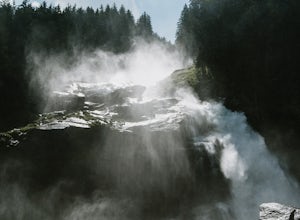
Hike to Krimml Waterfalls
2.6 mi / 1414 ft gainThe Krimml Waterfalls are situated in the Hohe Tauern National Park in the Salzburg region of Austria. At 380m high, they are the highest waterfalls not just of Austria, but in all of Europe. In the village of Krimml, near base of the waterfall you'll find a number of parking areas and the Wasser...Read more -
Braies, Italy
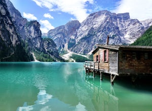
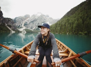
Paddle on Lago di Braies
5.0This beautiful alpine lake is often compared to the famous Lake Louise in Alberta, Canada and is an absolute must if you are in the Dolomites region. Lago di Braies is the largest natural lake in the Dolomites and depending on the light, its crystal clear waters can be seen in shades of blue, gr...Read more -
Braies, Italy
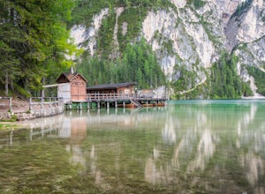
Explore Pragser Wildsee
4.02.2 mi / 400 ft gainPragser Wildsee, also known as Lago di Braies, lies in a mostly German-speaking area of northern Italy close to the border with Austria. This glacial blue lake is surrounded by towering mountains and thick evergreen forests, which can be experienced on the 2.2-mile loop trail or Alta Via 1 trail....Read more -
Braies, Italy
Hike and Canoe at Lago Di Braies
4.02.2 miStarting at the Hotel Lago Di Braies, you have the option to loop around the lake to hiker's left or right. To the left is the local dock, while to the right is a chapel and barn. Either way, you will end up where you started no longer than an hour and a half later. Once you are done with the loo...Read more -
Braies, Italy
Hike or Run the Alta Via 1 in the Dolomites
5.093.2 mi / 26250 ft gainThe Alta Via 1 is the definite trail through the Italian Dolomites, showcasing some of the most scenic terrain in all of the Alps. It begins at Lago di Braies and ends in the town Belluno, covering 150 kilometers and over 26,000' of elevation gain.Unlike backpacking or fastpacking in the United S...Read more -
Kochel am See, Germany
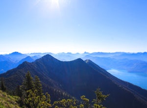
Hike the Heimgarten/Herzogstand Trail
5.09.3 mi / 4055.1 ft gainThe Heimgarten/Herzogstand trail is a famous one and there's a reason why: a great hike with outstanding views! Its close vicinity to the Kochelsee and Walchensee only make it even more attractive, since you can cool off with a swim in one of the lakes if you're done hiking and enjoying the views...Read more -
Welschnofen, Italy
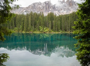
Loop hike around Lago Di Carezza
1 mi / 20 ft gainOne of the most scenic lakes in the Dolomites, this spot can be found right along the road as you drive by from Lake Garda toward Lago Di Brais. One of the richest and deepest blues in a glacial lake in the Dolomites. Definitely worth your time to stretch your legs and hike around this amazing s...Read more -
Gemeinde Reutte, Austria
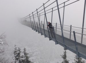
Hike along Highline179
1.2 mi / 400 ft gainHike to this amazing 376 foot high suspension bridge that spans 1329 feet across the a valley in the beautiful mountainous Tyrol region of the Austrian Alps. The bridge spans the B179 highway, connecting the old Roman Fort Claudia and the 700 year old Ehrenberg castle. This hike is breath taking ...Read more -
Cortina d'Ampezzo, Italy
Croda Da Lago Circut
7.8 mi / 1148 ft gainBrass Tax Hiking tracks: 437, 434, 435 Distance: 7.8 miles / 12.5 km - 759 meter elevation change. Time: 7+ hours Difficulty: Moderate/difficult Stay: Rifugio Palmieri Things to Note: Trails in the Dolomites are defined by numbers. You will also notice in your planning that there are also tra...Read more -
Schwangau, Germany
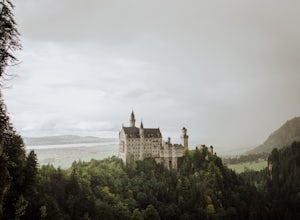
Photograph Neuschwanstein Castle
4.0As a former tour guide, I've spent years taking groups to visit the region around Neuschwanstein castle in Bavaria. Which means I can share the best spots to take photos of these magnificent castles that you can take when you only have one day to visit them. There are some great guides that will ...Read more -
Auronzo di Cadore, Italy
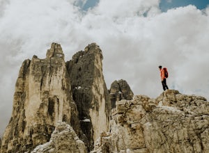
Hike to Rifugio Auronzo & The Three Peaks in the Dolomites
8.7 mi / 1935.7 ft gainYou start this easy hike from just before the toll road station on the road up from Misurina to Rifugio Auronzo. As you are looking towards the peaks and the trail starts on the right side of the road. The first part of the route takes you through some forest and across a couple of streams before...Read more

