Obernberg am Brenner, Austria
Looking for the best backpacking in Obernberg am Brenner? We've got you covered with the top trails, trips, hiking, backpacking, camping and more around Obernberg am Brenner. The detailed guides, photos, and reviews are all submitted by the Outbound community.
Top Backpacking Spots in and near Obernberg am Brenner
-
Neustift im Stubaital, Austria
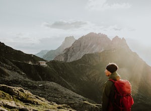
Hike & Overnight Stay at the Innsbrucker Hütte
13.7 mi / 4511.2 ft gainBecause the Innsbrucker Hütte sits on a ridge between two valleys, it can be reached from two sides; from the Gschnitz Valley or from the Stubai Valley. We chose to take the slightly longer (but less steep) route from the Stubai side. We parked the car in the village of Neder at the gravel parkin...Read more -
Neustift im Stubaital, Austria
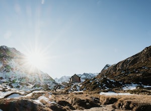
Hike to the Franz Senn Hut
2.2 mi / 1322.2 ft gainThe hike from the Oberiss Alm mountain pastures to the Franz Senn Hut in the Stubai Valley in Tirol is a wonderful hike for the whole family. The hike starts from the Oberissalm, a remote farmhouse surrounded by alpine meadows. Here you'll find a paid parking area and working farmhouse serving f...Read more -
Innsbruck, Austria
Hike Around Each Stop of the Nordkettenbahnen
5.00.5 miThe Nordkettenbahnen starts in the town center area of Innsbruck and takes you first to Alpenzoo and then to an end stop. These first two stops are on a funicular. Once you get to the end of the funicular, you will then transfer to the actual bahn (lift) which will take you up to the Seegrube sto...Read more -
Mittenwald, Germany
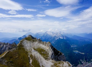
Hike Westliche Karwendelspitze
8 mi / 6000 ft gainStarting at the base of the Karwendelbahn, follow signs under the roadway and up the hill. From there, follow the yellow signs to the Dammkarhütte. This portion of the hike is relatively easygoing, but the last little bit up to the hut involves quite a bit of shale, so be prepared to take your ti...Read more -
Grainau, Germany
Hike Höllentalanger to Höllentalangerhütte
8.2 mi / 2400 ft gainStarting from the parking lot, walk 500m to the trail head. The hike begins with a gravel path that winds up an initial climb and spills out onto a gravel road. The marked trail leads to a hut that serves as the entrance to the gorge. The hut serves light food, drinks, and has free bathrooms avai...Read more -
Cortina d'Ampezzo, Italy
Croda Da Lago Circut
7.8 mi / 1148 ft gainBrass Tax Hiking tracks: 437, 434, 435 Distance: 7.8 miles / 12.5 km - 759 meter elevation change. Time: 7+ hours Difficulty: Moderate/difficult Stay: Rifugio Palmieri Things to Note: Trails in the Dolomites are defined by numbers. You will also notice in your planning that there are also tra...Read more -
Misurina, Italy
Photograph The Dolomites Near Misurina
The Dolomites in this area are absolutely stunning, and you can pair these massive mountains well in pictures with small towns like Auronzo, Reane, and Misurina. It may be a bit cold, but going in October or later will allow you to see the mountains with some snow sprinkled among the peaks. If y...Read more -
Auronzo di Cadore, Italy
Tre Cime Di Lavaredo Loop
5.06.27 mi / 1352 ft gainThe famous Italy Dolomites are littered with numerous great hikes to showcase them, however, this trail is the cream of the crop. It will not disappoint. You have the option of hiking up to Rifugio Auronzo from Misurina, which is detailed out here. The other option that makes it easier if you're ...Read more

