Verlot, Washington
Looking for the best hiking in Verlot? We've got you covered with the top trails, trips, hiking, backpacking, camping and more around Verlot. The detailed guides, photos, and reviews are all submitted by the Outbound community.
Top Hiking Spots in and near Verlot
-
Skykomish, Washington
Backpack from Dorothy Lake Trailhead to Snoqualmie Lake
18 mi / 1900 ft gainThe trail was not crowded although when we got to Snoqualmie Lake there were only a couple camping spots left. The trail up from Dorothy is not too hard at all. The weather was perfect. After passing Dorothy you have to ford a creek where the bridge has been washed out. We went through it on foot...Read more -
Marblemount, Washington
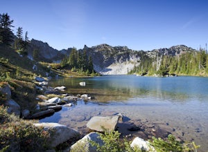
Hike to Monogram Lake
9.8 mi / 4500 ft gainOn a drizzly day, we set out to patrol Monogram Lake. Sore legs and thousands of feet later, we had the pristine lake all to ourselves with gorgeous fall weather and peek-a-boo views of the North Cascades.From Highway 20 in Marblemount, take Cascade River Road for 7 miles and look for a small par...Read more -
Marblemount, Washington
Lookout Mountain Trail
5.09.06 mi / 4610 ft gainBeginning about 7 miles down the Cascade River Road from Marblemount, the Lookout Mountain Lookout trailhead is on the north side of the road with parking for about 4-5 cars. With about 4500' elevation gain in 4.7 miles, this hike is definitely a thigh burner. The trail begins with a steep climb...Read more -
North Bend, Washington
Rainy Lake Trail
4.09 mi / 3205 ft gainThis is an abandoned trail that heads south along Rainy Creek, off of the downstream section of the Middle Fork Snoqualmie Trail, and up to Rainy Lake. The lake is popular among fisherman, since it is home to lots of trout, but be warned -- route-finding skills are a must on this trip. I do my be...Read more -
Skykomish, Washington
Hike to Big Heart Lake
5.014.6 mi / 3300 ft gainThis hike takes you past 5 lakes and a few different waterfalls, so if you don't wish to push on to Big Heart, you won't be disappointed! Start at the West Fork Foss River Trailhead, about 2.6 miles past the Necklace Valley Trailhead. The first mile is relatively flat. Once you reach the bridge t...Read more -
Skykomish, Washington
Hike to Foss River and Lakes
4.04.2 mi / 2400 ft gainChoose from Trout Lake (1.6 miles each way with 500 feet of elevation gain), Copper Lake (4.2 miles each way with 2400 feet of elevation gain), or Big Heart Lake at 7.3 miles each way, with 3300 feet elevation gain). There are plenty of camp sites if you decide to go overnight at any of the lakes...Read more -
North Bend, Washington
Otter Falls
4.08.37 mi / 853 ft gainThe hike begins at Snoqualmie Lake Trailhead, but you'll actually have to start your hike about a half mile down the road from the trailhead as some cement barricades are up. There is plenty of room to park below the barricades, and the walk up to the trial head is easy and quick. Once at the tr...Read more -
Concrete, Washington
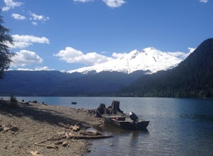
Hike the East Bank of Baker Lake
4.39.2 mi / 978 ft gainAccess the hike from a 26.5-mile drive down Baker Lake Rd to the Baker Lake Trailhead. Note that the last 6 miles are unpaved and rather rough. The trail starts at low elevation so there's rarely snow or condition concerns, even in early spring. The trail runs alongside and then crosses the Bake...Read more -
Marblemount, Washington
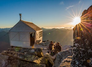
Hidden Lake Lookout
4.97.39 mi / 3415 ft gainBe careful when heading up this 4.5 mile trail since there can be snow coverage into the summer. When you start the trail, you'll get a little tree coverage as you start climbing up. Unfortunately, the shade starts to dissipate after about a mile, where you'll cross over Sibley Creek and enter th...Read more -
Concrete, Washington
Dock Butte
4.53.92 mi / 1388 ft gainDock Butte is an easy hike offering truly spectacular 360 degree views of the Mt. Baker region. In summer this summit can be done as an easy walk up. It is especially good during the late summer for hikers and introducing someone into hiking. From the parking lot the trail goes through forest wi...Read more -
Leavenworth, Washington
Hike to Minotaur Lake
5.0This short, steep hike offers rewarding views that is well worth the vertical challenge. Round trip this hike is only 3.5 miles but you will gain 1400 feet elevation in the first mile.The trail starts off with switchbacks that head straight up the hill then about 200 feet from the wilderness boun...Read more -
North Bend, Washington
Middle Fork Snoqualmie River Trail
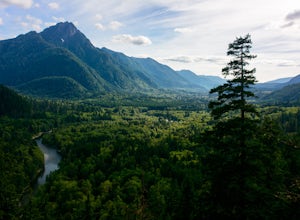
27.57 mi / 3609 ft gainThis beautiful tucked-away trail offers runners, hikers, and backpackers a new view of their favorite neighboring peaks - like Mailbox Peak and Mt. Si - from one of the most scenic river trails in the Seattle area. Often overlooked in favor of more rigorous hikes, the Middle Fork is a gently gra...Read more -
Seattle, Washington
Washington Park Arboretum Loop Trail
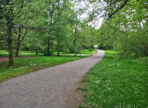
5.02.4 mi / 197 ft gainThe Washington Park Arboretum is the perfect place to swing through if you're looking for a short and gentle trail run without leaving the city. This expansive park includes the UW Botanic Gardens, Japanese Gardens, entire length of the Arboretum Creek - all landmarks you'll pass on this trail. ...Read more -
Leavenworth, Washington
Scenic Hot Springs
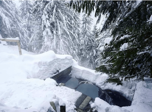
3.21 mi / 1135 ft gainScenic Hot Springs is a privately owned hot spring located near Stevens Pass outside of Leavenworth, Washington. To access the three steaming pools, please visit ScenicHotSprings.com to make a reservation. Reservations are required. The three tubs have varying temperatures and only 10 people ar...Read more -
North Bend, Washington
Hike Pratt Balcony
2.2 miThis one can be a bit tricky to find. The trailhead is unmarked and is a bit hidden around a curve of Middle Fork Road so it is easy to miss. At about 9.80 miles from the junction of 468th St. and Middle Fork Road, look for two signs on the right warning of upcoming gravel patches (probably will ...Read more -
Leavenworth, Washington
Skyline Lake Trail
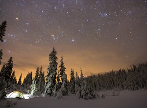
4.52.41 mi / 1020 ft gainThis 2.5 mile roundtrip hike with a little over 1,000 feet of elevation gain is a great winter trip for beginners. The trail is typically well-worn, making it easy to stay on target even in some of the most difficult conditions. If you have route finding and off trail skills, you can venture ou...Read more

