Kent, Washington
Top Spots in and near Kent
-
Gold Bar, Washington
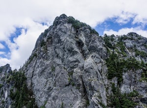
Baring Mountain
4.62 mi / 3556 ft gainDon't let the low mileage trick you – this is not an easy climb. Give yourself plenty of time to summit this beast of a mountain. Starting at the Barclay Lake Trailhead, be careful not to jump onto the Barclay Lake Trail. The path to Baring Mountain is hidden down a path leading from the bathroo...Read more -
Gold Bar, Washington
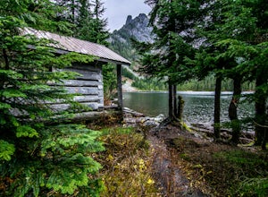
Eagle Lake via Barclay Lake Trailhead
8.5 mi / 2000 ft gainStart off on the same trail as Barclay Lake. After 2.25 miles, you will arrive at Barclay Lake. This lake can be quite busy in the summer months as it is relatively easy to access, and you may see many people camping there with their kids. Continue around the lake until you almost reach the east...Read more -
Hoodsport, Washington
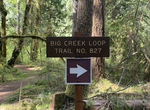
Upper Big Creek Loop Trail
4.76 mi / 1142 ft gainUpper Big Creek Loop Trail is a loop trail that takes you by a river located near Lilliwaup, Washington.Read more -
Hoodsport, Washington
Climb Mt. Washington
3.5Follow the driving directions, pass the upper Mt Eleanor parking area and continue until the road dead-ends due to a landslide. Try to leave room for cars to turn around when you park.Follow the trail which starts just near the lake boulder near the parking area. The trail through the lower slope...Read more -
Ashford, Washington
Explore Rainier's Christine and Narada Falls
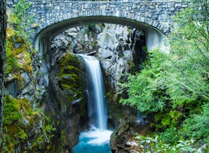
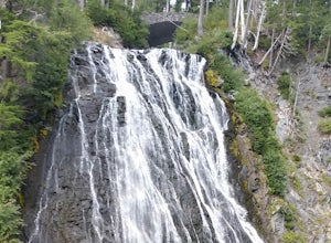
3.7Driving along Paradise Road on the south side of Mount Rainier, provides a couple of opportunities to view gorgeous waterfalls with a short hike. From the West, the first stop is Christine Falls. There is parking on either side side of the bridge, but the east side is closest to the trail. Desce...Read more -
Snoqualmie Pass, Washington
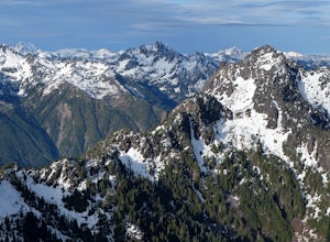
Chikamin Peak via Mineral Creek Trailhead
15.34 mi / 5771 ft gainThis is a S5 T4 scramble that involves some routefinding past the alpine lakes. We did this as a day trip and we were out and back in about 12 hours. There are multiple routes to get to Chikamin, one from the PCT, which is 24 miles RT and the other is from the Mineral Creek Trailhead (47.4176, -...Read more -
Ashford, Washington
Hike to Comet Falls
5.0Located on Paradise Road along the south side of Mount Rainier, the Comet Falls Trail follows Van Trump Creek up to the magnificent Comet Falls. The hike is 3.8 miles round trip with 1250' of elevation gain.The trail starts off at 3650' and soon crosses over a bridge above Christine Falls. It qui...Read more -
Skykomish, Washington
Hike to Big Heart Lake
5.014.6 mi / 3300 ft gainThis hike takes you past 5 lakes and a few different waterfalls, so if you don't wish to push on to Big Heart, you won't be disappointed! Start at the West Fork Foss River Trailhead, about 2.6 miles past the Necklace Valley Trailhead. The first mile is relatively flat. Once you reach the bridge t...Read more -
Skykomish, Washington
Hike to Foss River and Lakes
4.04.2 mi / 2400 ft gainChoose from Trout Lake (1.6 miles each way with 500 feet of elevation gain), Copper Lake (4.2 miles each way with 2400 feet of elevation gain), or Big Heart Lake at 7.3 miles each way, with 3300 feet elevation gain). There are plenty of camp sites if you decide to go overnight at any of the lakes...Read more -
Enumclaw, Washington
Norse Peak via Silver Creek
7.77 mi / 2405 ft gainStart out in Crystal parking lot A. There is a small and steep trail that heads up the hill labeled as Silver Creek Trail. The trail follows a horse trail for the majority of the route and gets renamed Bullion Basin Trail shortly after you enter the woods, so when it doubt keep following the hoof...Read more -
Ashford, Washington
Snowshoeing the Nisqually Vista Loop at Mt. Rainier NP
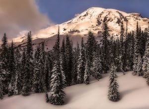
4.01.4 miMt. Rainier rises over 14,410 feet and the views you get from the Paradise area on the South side of the mountain are unparalleled. Paradise is one of the few places in Mt. Rainier National Park that is open to visitors during the winter months for cross country skiing, snowshoeing, sledding, and...Read more -
Packwood, Washington
Carter & Narada Falls
3.05.81 mi / 1434 ft gainThis hike starts off with a bang! The first thing you do is walk out into a rocky riverbed and get an amazing view of Mt. Rainier. From there, you'll cross a long log bridge to get over the river and head into the woods. After 1.1 miles, you'll come across Carter Falls, and about 100 feet down t...Read more -
Ashford, Washington
Myrtle Falls Overlook
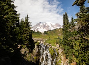
0.97 mi / 151 ft gainHead out to Myrtle Falls in the Paradise area of Mount Rainier National Park. This trail will take you to a beautiful 72-foot waterfall. This .97-mile hike leads to 72-foot Myrtle Falls with snowy Mt. Rainier in the background. Follow the Skyline or Golden Gate trail and then cross the footbridg...Read more -
Ashford, Washington
Winter Camp at Glacier Vista
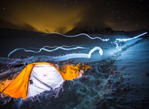
5.03 mi / 1000 ft gainIt's always a good idea to check the weather, but when it comes to getting a peak at Mt. Rainier you might be better off just showing up and hoping for a miracle. To do this from Seattle, you'll have a 2 hour 20 minute drive down I-5 and WA-167. After a couple turns here and there (you can follow...Read more -
Ashford, Washington
Skyline Loop in Mt. Rainier NP
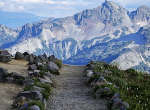
4.55.65 mi / 1722 ft gainThe trailhead to Skyline Trail is located at the north side of the upper parking lot near the Visitor Center and Paradise Inn. You'll see that it breaks off into many other small trails if you want, as well. However, this 5.5 mile hike alongside Nisqually Glacier is classified by the rangers at...Read more -
Ashford, Washington
Hike to Panorama Point
4.65.4 mi / 1700 ft gainThis 5.4 mile loop hike begins at the Paradise Visitors Center in Mount Rainier National Park. You just follow the skyline trail that begins from the steps with the John Muir quote on them. The hike goes up 1700 feet to its highest point at 7100 feet. From this high up you have some amazing views...Read more

