Kent, Washington
Top Spots in and near Kent
-
Ashford, Washington
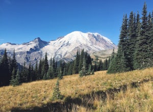
Burroughs Mountain Trail
4.69.32 mi / 2270 ft gainThe Burroughs Mountain Trail comes from a series of trails out of the Sunrise Area. First piece of advice is to set your alarm clocks! The parking lot and trails get busy quite quickly, especially in the summer. From the parking lot you will start by taking the Sourdough Ridge Trail up to Frozen...Read more -
Skykomish, Washington
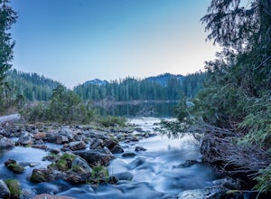
Backpack from Dorothy Lake Trailhead to Snoqualmie Lake
18 mi / 1900 ft gainThe trail was not crowded although when we got to Snoqualmie Lake there were only a couple camping spots left. The trail up from Dorothy is not too hard at all. The weather was perfect. After passing Dorothy you have to ford a creek where the bridge has been washed out. We went through it on foot...Read more -
Skykomish, Washington
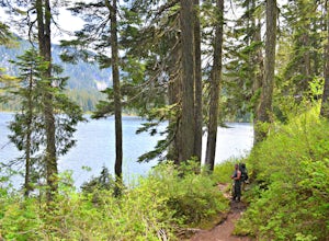
Hike to Lake Deer via Lake Dorothy Trailhead
12.6 mi / 1600 ft gainStart off by traveling along Highway 2 and turning towards the Money Creek Campground. Turn off onto Forest Road 6410 and follow that to the Lake Dorothy Trailhead (about 9 miles).This first section of the hike can be pretty crowded on a nice summer day as the trail is very family friendly and it...Read more -
Gold Bar, Washington
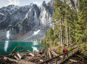
Lake Serene and Bridal Veil Falls
4.87.74 mi / 2569 ft gainConsider this a must-do if you are in Seattle and feel like knocking out two amazing hikes AND getting to see a hidden lake all along US 2. The trail starts out on an old road with the typical amazing forest surrounding you. After roughly 2 miles the road will end and you can go right (signage i...Read more -
National Forest Development Road 2530, Washington
Hike to Murhut Falls
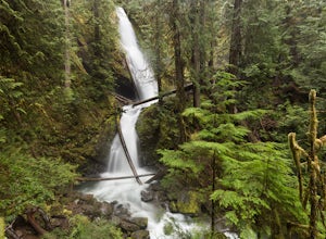
1.37 mi / 371 ft gainThe trailhead to Murhut Falls is located about 7.5 miles off US-101 S but the last couple of miles are on NF-2530 which can be potholed and rutted. I made it up the road in my 2WD sedan but it took quite some time to dodge all of the potholes. This hike is nice and quick! It starts with a small ...Read more -
27662-27664 Olympic Highway, Washington
Hike Falls View Canyon
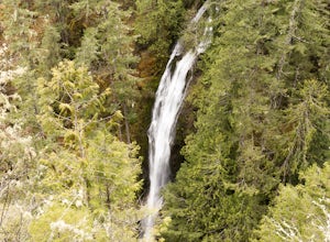
1.5 mi / 300 ft gainThis hike is located immediately off of Highway 101 in the Falls View Campground. If the campground is closed you can park right outside of the gate (but don't block it) and hike in. Inside the gate you will see 3 paths in front of you, take a left and after about a quarter mile you will reach th...Read more -
Lake Stevens, Washington
Water and Snow Ski Stevens to Stevens
5.0Have you ever dreamed of snow skiing and water skiing in the same day? This March, plan your adventure of a lifetime to Stevens Pass and Lake Stevens, Washington. You will need a winter coat, a wet suit, and a heart made of love for the outdoors.Keep an eye on mountain and lake weather conditions...Read more -
Ashford, Washington
Summit Mount Ruth, Mt. Rainier NP
10.8 mi / 5090 ft gainMount Ruth presented a challenge as it was a very hot day to be exposed on a ridge for the entire day. The trek begins in White River Campground parking lot and travels along the White River until you exit at Glacier Basin. Crossing the creek you ascend up to the ridge that leads up and up and up...Read more -
Gold Bar, Washington
Sunset Falls
1.0Note: Please be careful when exploring the falls. We recommend not walking on the surfaces directly next to the falls as the water is moving very quickly and can pick you up quickly. The falls are home to several very sad losses. Sunset Falls is the largest and the final of the three major wate...Read more -
Ashford, Washington
Camp at White River in Mount Rainier NP
Getting There From Seattle: Head East on I90 to 405 South, Take the exit for 169 heading towards Enumclaw. I recommend stopping for a bite at the down home, family restaurant called Kitchen in downtown. The food was great with lots of local flavors! Continue on 169 where you will jump on Highway ...Read more -
Brinnon, Washington
Hike Lower Big Quilcene River
13 mi / 1800 ft gainWhile this hike does not provide any sort of fantastic views, its does provide an easy ~13 mile roundtrip hike from the trailhead to a parking lot for the Upper Big Quilcene Trail which leads to Marmot Pass. Along the way you will cross several bridges, some large and wide, other simple log bridg...Read more -
Sultan, Washington
Heybrook Ridge
3.71 mi / 856 ft gainAlthough short, this new trail is a great warm-up to the many other trails this area has to offer. Starting immediately across the North Fork Skyhomish River at the new trailhead, you will make your way up this moderately steep hike to the Heybrook Ridge. once you reach the top of the trail, you ...Read more -
Ashford, Washington
Snowshoe or Ski to Mt. Tahoma High Hut
5.04.5 mi / 2400 ft gainMake the 3.2 - 4.5 mile hike up groomed trails to the Mt Tahoma High Hut (4750 feet) for the perfect winter getaway. Spend the day outside sledding, skiing, snowshoeing and playing in the snow with a spectacular view of Mount Rainier, Mount Adams, and Mount St. Helens. Afterwards go inside and en...Read more -
Gold Bar, Washington
Heybrook Lookout
4.72.47 mi / 984 ft gainTo the trailhead, drive east on highway 2 from Everett. Just past milepost 37 you will see a gravel parking area on the left side of the highway. Wander through a mossy forest that reminds me of Olympic National Park and traverse up 1.3 miles of switch backs to ascend heybrook lookout! Dogs ar...Read more -
Ashford, Washington
Hike to Upper Palisades Lake
6.6 mi / 1200 ft gainPark at the Sunrise Point parking lot and find the Palisades Trail at the northeast corner of the parking lot. If you bring along a pair of binoculars, you can stop at the first overlook on the left and scan the adjacent mountain slopes for the white dots of mountain goats. Continue down the trai...Read more -
Snoqualmie Pass, Washington
Day Hike to Lila Lakes and Alta Pass
4.312 mi / 3000 ft gainGetting There From Seattle, drive Interstate 90 to Exit 62, Signed Kachess Lake/Stampede Pass. Turn left and head north over the interstate; you'll reach Kachess Lake Campground in five miles. Turn left where the pavements ends and drive four miles on Box Canyon Road (FS Road #4930) to the Rachel...Read more

