Kent, Washington
Top Spots in and near Kent
-
Skykomish, Washington
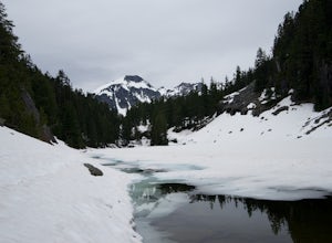
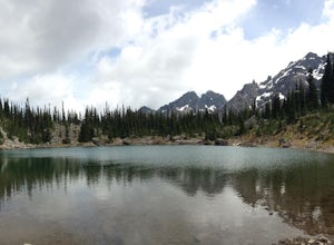
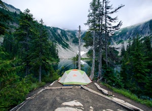
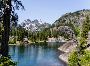
Jade Lake via the Necklace Valley Trail
15.26 mi / 3323 ft gainThis hike is definitely one of our all-time favorites. The first time we did it was in August 2015 and due to the exceptionally mild winter that year, fall was already beginning to show its colors. We wanted to see it again in the springtime when everything was in bloom, so we decided to go again...Read more -
Skykomish, Washington
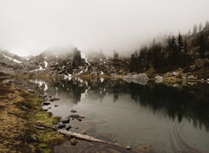
Tank Lakes via Necklace Valley
18.94 mi / 4721 ft gainTucked high in the heart of the Alpine Lakes Wilderness, Tank Lakes has everything you could ask for out of a Washington hike. You start low at the Necklace Valley trailhead just south of Skykomish along Highway 2 and meander five miles to a giant log crossing of the East Fork Foss River. From h...Read more -
Packwood, Washington
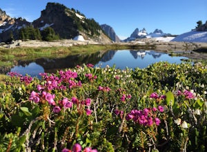
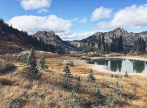
Lakes Trail Loop
5.34 mi / 1381 ft gainThe Lakes Trail Loop can be accessed two ways. You can either start in Paradise and find one of the multiple points along the Skyline Trail or you can begin at Reflection Lake. My recommendation for a nice day hike is to begin at Reflection Lake. If you arrive by 8am you should have an easy time...Read more -
Packwood, Washington
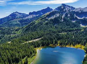
Explore Reflection Lakes
4.3Reflection Lakes is located approximately 1 mile east of Inspiration Point just off Steven Canyons Road in the Paradise section of Mount Rainier National Park. Simply park in one of the pullouts at the lakes and enjoy the scenery. Reflection Lakes can also be accessed via the Wonderland Trail.T...Read more -
Packwood, Washington
Hike Pinnacle Peak, Mt. Rainier NP
4.82.5 mi / 1050 ft gainThis trailhead is easily accessed at the parking lot at Reflection Lakes in Mount Rainier National Park. A short but sweet hike (1.3 miles one way) that leads to beautiful views of Rainier, Mount Adams, Mount St. Helens, and if clear enough, Mt. Hood (Oregon). Pinnacle itself can be climbed to su...Read more -
Skykomish, Washington
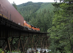
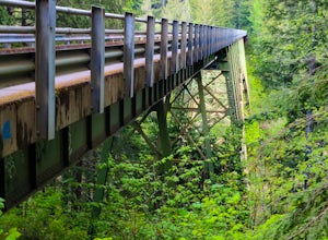
Photograph the Foss River Trestle
5.0Traveling east from Seattle on Highway 2, take a right hand turn onto Foss River Road (Road 68) just after the township of Skykomish. The pavement ends in 1.1 miles, beyond that be cautious of potholes. Continue along this road for a further 1.3 miles, at which point you will pass under a railroa...Read more -
Quilcene, Washington
Marmot Pass via Big Quilcene Trail
5.010.5 mi / 3481 ft gainThis trail has a nice, steady climb that's perfect for beginner or intermediate backpackers. The first 2.5 miles follow a forest trail along the Big Quilcene River. For the next 3 miles, the trail flows in and out of shaded trees, over a small talus field, and through a meadow before the final ac...Read more -
Quilcene, Washington
Buckhorn Mountain
12.26 mi / 4429 ft gainThe climb to Buckhorn Mountain above Marmot Pass is a must see for every PNW adventurer with the endurance to tackle nearly 14 miles and 4,400 feet of gain. Listen to the rushing waters of the Big Quilcene River as the trail gently traverses up 5.5 miles to Marmot Pass. Be sure to filter water ...Read more -
Quilcene, Washington
Backpack to Marmot and Constance Passes
24 mi / 5200 ft gainThe secret to this trip: Marmot Pass and Boulder Shelter, where you can camp on National Forest Service land. Multiple excellent, large backpacking sites sit just on the edge of the National Park, giving you great access to Mt. Constance and Mt. Deception, two of the tallest peaks in the Olympics...Read more -
Mason County, Washington
Hike to Lake of the Angels
5.06.75 mi / 3599 ft gainThe trail up to Lake of the Angels, known as the Putvin Trail, starts out pretty mellow with a gradual uphill climb. Your first marker will be an old roadbed at around 1.4 miles, but you'll need to cross two ravines before making it there. It's thick forest with gorgeous views in the clearings, s...Read more -
Naches, Washington
Hike the Naches Peak Loop Trail
5.03.5 mi / 700 ft gainNaches Peak Loop Trail is a great introductory trail to Mount Rainier National Park situated on the Eastern side of Rainier. Half located within Mount Rainier NP and half within Okanogan-Wenatchee National Forest, Naches Peak is a 3.5 mile trail with minimal elevation gain (700ft) yet with views ...Read more -
Enumclaw, Washington
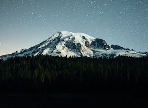
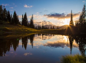
Explore Tipsoo Lake
4.0Tipsoo Lake provides a great spot for capturing a sunset at Mount Rainier. There are two lakes at Tipsoo, with Upper Tipsoo Lake providing a better view of the Mountain. To access Upper Tipsoo Lake, drive past the main parking lot for Tipsoo Lake and park at the pullout around the bend on the sam...Read more -
Mason County, Washington
High Steel Bridge
4.5Located about 20 minutes outside of Shelton, Washington on US Forest Service Road NF-2340. To get there, head North on Highway 101 and exit onto W Skokomish Valley Rd. about 12 miles (or 20 minutes) after passing Shelton. W Skokomish Valley Road will take you through a beautiful area of farml...Read more -
Snoqualmie Pass, Washington
Thorp Mountain Lookout via Knox Creek Trail
4.34 mi / 1677 ft gainThis trail features beautiful wildflower meadows during the summer season and is relativity low trafficked. Bring your hammock for breathtaking views from the lookout and catch an incredible sunset. The summit has no established camping spots, so if staying overnight prepare to sleep on uneven gr...Read more -
Packwood, Washington
Snow Lake Trail
3.82.12 mi / 427 ft gainSnow Lake is a beautiful lake in Mount Rainier National Park in Washington. You can do the 2.6 mile roundtrip hike to the lake as either a day trip or as a backcountry camp. To camp at one of the two sites on the lake you must secure a permit from the permit office at Longmire. The hike to the s...Read more -
Snoqualmie Pass, Washington
Spectacle Lake via Pete Lake Trail
5.018.91 mi / 3058 ft gainDepending on when you arrive at the Pete Lake Trailhead, expect to be traveling with company as it is one of the more popular locations on the eastside of Snoqualmie Pass. At an elevation of 2600 feet, the beginning route is a moderate 400 feet of elevation gain. Start on your way through the va...Read more

