Williamsburg, Virginia
Looking for the best photography in Williamsburg? We've got you covered with the top trails, trips, hiking, backpacking, camping and more around Williamsburg. The detailed guides, photos, and reviews are all submitted by the Outbound community.
Top Photography Spots in and near Williamsburg
-
Williamsburg, Virginia
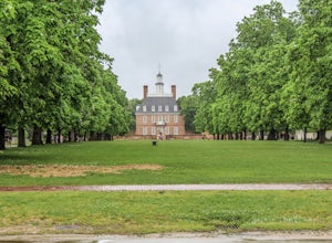
Visit Colonial Williamsburg
4.6Williamsburg, Virginia , founded in 1632, is one of the oldest cities in America. The city has played major roles in American history as the capital of Virginia and as a political center for the American Revolution. Today the city offers an abundance of museums,beautiful bed and breakfasts, and l...Read more -
Williamsburg, Virginia
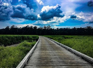
Bike Jamestown Island
5.1 mi / 45 ft gainThe trail is open to cyclists and pedestrians, but does share the road with some vehicle traffic. The speed limit is slow and often there is little traffic. There also is no parking at the actual trail head, so one must begin at the Visitor Center Parking lot. The trail will show off the natural ...Read more -
Stonehouse, Virginia
Stargaze at Little Creek Dam Road
3.0This stargazing spot is a wonderful place to test your star photography, or a sweet place to relax and chill with friends. It's a quiet and relaxing spot.It's a little windy, so bring appropriate clothing to sit there and stargaze. And make sure to go when there are clear skies, and on a night wi...Read more -
Williamsburg, Virginia
Hike the Riverview Trail
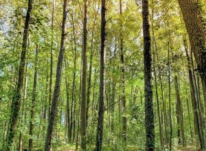
4.07.5 mi / 150 ft gainFrom the parking area at the visitor center, pick up the Backbone Trail marked with gold blazes. The trails are well marked with signage and arrows. Follow the Backbone Trail for 2 miles under you reach the trail junction of Powhatan Forks Trail. After a half mile the this trail splits with th...Read more -
Yorktown, Virginia
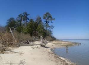
Photograph Yorktown Beach
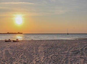
4.9With the George P. Coleman bridge spanning the width of the York River, a fishing pier, and numerous rock jetties, Yorktown Beach is a great location for photographing sunrises or sunsets. There is a nice brick riverwalk path to walk along, or sandy areas to sit.To get the full Coleman Bridge in ...Read more -
Yorktown, Virginia
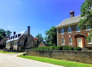
Hike through Historic Yorktown
5.02.5 mi / 59 ft gainThis is a fantastic hike through the history of the early United States. And one with many interactive exhibits and recreation opportunities. From the Visitor Center, head onto the path towards the Yorktown Historic District. The historic district begins at the Dudley Digges House. Buildings that...Read more -
Yorktown, Virginia
Bike the Yorktown Battlefield
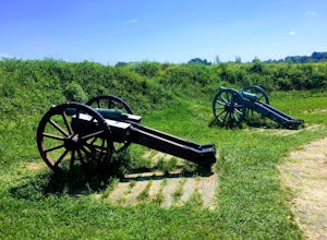
4.010.8 mi / 259 ft gainGreat for cyclists, this tour is full of beautiful scenery with rolling hills, redoubts, and history. A six-stop tour of the Yorktown Battlefield has been designed to take visitors to the most important spots on the battlefield. Signs direct you from one stop to the next. Signs with red arrows a...Read more -
Newport News, Virginia
Hike Noland Loop Trail
4.84.8 mi / 154 ft gainGreat hike right in the city of Newport News. It is a loop trail that is 4.8 miles and has a moderate level of traffic. Easy, good for all skill levels Pet friendly Water and wooded views with lots of shade throughoutClearly marked trail No bikesParking at Mariners Museum and at Lions Bridge; ...Read more -
Onemo, Virginia
Beach Day at Bethel Beach Natural Area Preserve
4.0I discovered Mathews, VA while watching Beachfront Bargain Hunt on HGTV! It’s a quiet county close to the coast. There is another beach in Mathews county, but this one is my favorite! It is a beautiful beach and it’s always been quiet the times I have been. https://www.dcr.virginia.gov/natural-...Read more -
Diggs, Virginia
Relax at Haven Beach
4.0I discovered Mathews, VA while watching Beachfront Bargain Hunt on HGTV! It’s a quiet county close to the coast. One of the beaches close to Mathews is Haven Beach. It’s an uncrowded beach with parking and a bathroom (porto potty style). There’s not much in Mathews, but there is a 7-Eleven that...Read more -
Chesapeake, Virginia
Catch a Sunset at the Jordan Bridge
4.02 mi / 200 ft gainThe South Norfolk Jordan Bridge spans the Southern Branch of the Elizabeth River connecting Chesapeake and Portsmouth, Virginia. Located beneath the bridge's abutments on the Chesapeake side is the Elizabeth River Park.Looking to stretch your legs? The park includes many amenities like a paved tr...Read more -
Richmond, Virginia
Explore the James River Pipeline in Richmond
5.0Pipeline is a metal catwalk located on top of a giant stormwater pipe in downtown Richmond. Above the pipe runs the CSX railway line; parallel are Class IV rapids of the James River, fittingly called "Pipeline Rapids". From the address provided, turn right on E Byrd St, which will take you down ...Read more -
Cape Charles, Virginia
Catch A Sunset At Kiptopeke State Park
4.7This beautiful State Park on the Virginia Eastern Shore provides visitors with a very secluded beach even in the dead of summer. The location of the beach also allows you to enjoy a sunset over water which is rare for the east coast. The sandy white beaches dotted with old crab buckets and crab t...Read more -
Chesapeake, Virginia
Hike Indian River Park
5.02 mi / 0 ft gainWhen you're short on time and you need your daily dose of nature, Indian River Park is a quick little 'getaway'. It is best to park at Rokeby Center. When you arrive to the park you'd be surprised that this little patch of nature exists in the middle of the town. The trail can be hard to follow ...Read more -
Richmond, Virginia
Take a Stroll around Maymont Park
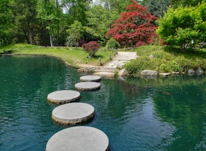
5.0There are two entrances to Maymont: the Nature Center Parking area and the Estate Parking Lot. The Estate parking lot is closest to all of the gardens, so if you want a longer walk around the estate, park at the Nature Center. From the Estate parking lot, enter through the gate and the entrance...Read more -
Richmond, Virginia
Walk the Bryan Park Azalea Gardens
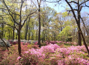
3.01 mi / 0 ft gainA short distance from downtown Richmond, this park contains over 450,000 azalea plants in 76 different beds that are usually in peak bloom around mid-April every year. When the plants are in full bloom, you can drive (or walk) the 1 mile loop and there are various places to park and get out and w...Read more

