Lyndhurst, Virginia
Top Spots in and near Lyndhurst
-
Crozet, Virginia
Hike Moorman's River
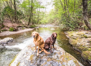
4.52.5 miAlong the hike, there are four "official" swimming holes to jump in, but you can make your own at any time. Go in the springtime for a great waterfall at the end the feeds into a swimming hole, and in the fall for a wonderland of foliage. The official name of this hike is Moorman's River, but an...Read more -
Crozet, Virginia
Photograph Charlottesville Reservoir
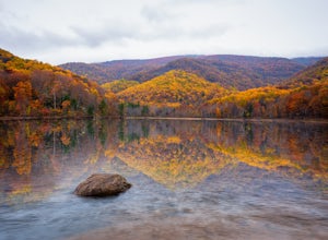
4.7The reservoir is located in the Piedmont Hills just outside the city of Charlottesville, Virginia. So technically Charlottesville Reservoir is not in Shenandoah National Park, but it is only a few feet outside of the park, and it has an outstanding view of the Blue Ridge Mountains that make up th...Read more -
Tyro, Virginia
Crabtree Falls
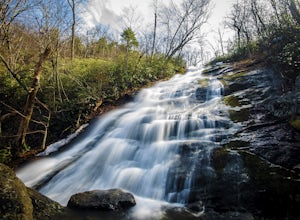
4.53.05 mi / 1161 ft gainThis is an approximately 3 mile roundtrip hike. It will usually take anywhere from 1-2 hours to get up, depending on your experience and who you have with you, and about an hour down. As you come off of route 56, you will come up to the trailhead where there is a large parking area with restroom...Read more -
Tyro, Virginia
The Priest via Shoe Creek Trail
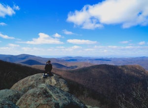
4.43.01 mi / 843 ft gainStarting at the Upper Crabtree Falls Parking area, continue up the "road" on Shoe Creek Trail for half a mile until you come to the intersection of the Appalachian Trail. That will be the steepest part of the hike. Look for two rocks on either side of the trail with white blazes on them. Take a l...Read more -
Meadows Lane, Virginia
Camp near Crabtree Meadows in GWNF
5.0As stated, the campsites are free. They do not require reservations or permits and are on a first come, first served basis. Regardless of which direction you're coming from, you will be traveling on Crabtree Falls Highway until reaching Meadows Lane. This is a gravel access road that requires 4WD...Read more -
Tyro, Virginia
Spy Rock via Cash Hollow
4.95.71 mi / 1191 ft gainThe hike is part of the George Washington National Forest, and can easily be combined with nearby Crabtree Falls (300ft cascading waterfall with a hike to the top). The entire trip is 5.7 miles, and there are nice campsites at the base of the summit (no water source) if you want to add on this pr...Read more -
Charlottesville, Virginia
Kayak Beaver Creek Lake
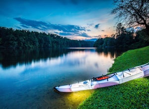
4.3This little lake close to Charlottesville is my favorite place for an after work kayak, SUP, or just picnic by the water. It's a 20min drive from town, and the perfect place to watch the sunset over the Blue Ridge with water views. No gasoline powered motors allowed, but anything else you can g...Read more -
Lovingston, Virginia
Fortune's Cove Via Yellow Trail
3.05.02 mi / 1486 ft gainFortune's Cove via Yellow Trail is a loop trail where you may see beautiful wildflowers located near Lovingston, Virginia.Read more -
Appalachian Trail, Virginia
Blackrock Summit, Shenandoah NP
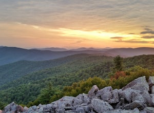
4.71.11 mi / 253 ft gainThere are two route options, both are under 2 miles and are suitable for hikers of all experience levels. The shortest option, a 1-mile circuit, follows the Appalachian Trail from the Blackrock Summit parking area, which is just north of mile marker 85 on Skyline Drive. With only 175-feet of ele...Read more -
Crozet, Virginia
Hike to Jones Run Waterfall
4.02 mi / 800 ft gainThis little known waterfall is located close to the more popular waterfall, Doyles River Falls. Staring at the Jones Run parking area turn left downhill following the blue blazed Jones Run trail. After 1.7 miles you will reach the main waterfall. You can either stay here and enjoy the waterfall o...Read more -
Montebello, Virginia
Hike to Wigwam Falls
2.7The Yankee Horse Ridge Parking Area is located at milepost 34.4 on the Blue Ridge Parkway. From the parking area, follow the rock steps to the railroad tracks and turn right. Follow the tracks the stream and turn left. Proceed on the path to the bridge in front of the 30 ft. waterfall.Read more -
North Garden, Virginia
Wilkins Way Loop
4.33 mi / 640 ft gainWilkins Way Loop is a loop trail that takes you by a lake located near North Garden, Virginia.Read more -
North Garden, Virginia
Explore Walnut Creek Park
4.2Just 25 minutes outside of Charlottesville, this is a great spot to take the family for the day and get some sunshine. If you are into mountain biking, you're in the right place. There are 13 miles of mountain bike trails that circle the lake. At the end of your ride, there are 2 beaches to stre...Read more -
Crozet, Virginia
Hike to Doyles Falls
4.93.2 mi / 1190 ft gainFrom the parking lot at MP 81.1 on the Skyline Drive, take the trailhead to the left of the sign with the trail map. Immediately you'll cross over the Appalachian Trail-stay straight on the blue-blazed trail to Doyles Falls. The trail will descend rapidly for 1.3 miles to Upper Doyles Falls (28' ...Read more -
Free Union, Virginia
Hike Frazier Discovery Trail
5.01.3 mi / 950 ft gainThere are two ways to the summit: the first is a 1.3 mile loop that starts at the Loft Mountain Wayside parking lot at mile marker 79.5 off of Skyline Drive in the southern district of Shenandoah National Park. The second way is a 3.7 mile hike out and back from the Loft Mountain Campground, but...Read more -
Amherst, Virginia
Mount Pleasant Loop
4.65.98 mi / 1427 ft gainFrom the Mount Pleasant Parking Area, take the blue blazed Pompey Mountain Trail that is just beyond the horse gate. As it's a loop, you can start at either entrance, but I prefer heading left to get the longer leg of the hike before the summit (always better to have an easy journey down in the a...Read more

