Bedford, Virginia
Top Spots in and near Bedford
-
Roanoke, Virginia
Take in the View at Roanoke Mountain Overlook
4.0The Roanoke Mountain Road is a 4 mile one-way loop accessed at mile post 120.3 off the Blueridge Parkway. It's a winding single-lane road, and I would certainly not venture up there with a trailer. There is a large parking area at the main overlook which provides an excellent view of the sunset. ...Read more -
Salem, Virginia
Mountain Bike at Carvins Cove
5.030 mi / 750 ft gainCarvins Cove draws attention from all over the mountain biking community, and has so much to offer both the beginner and expert alike. The best place to access the trails is from the Bennet Springs parking lot on Carvins Cove Road...the pin on the map will take you right there. There is a $2 dail...Read more -
Troutville, Virginia
Tinker Cliffs via Andy Lane Trail
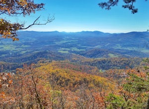
4.87.15 mi / 1844 ft gainLooking for a day trip? Look no further than Tinker Cliffs, tucked away in Virginia. This trail provides a workout that is loaded with flowers, bridges, rocks, and views that will leave you inspired to explore more! The Trail There are no restrooms located at the parking lot or along the trail....Read more -
Amherst, Virginia
Swim at Panther Falls
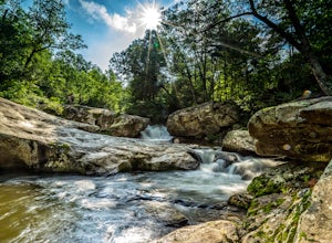
5.00.7 mi / -100 ft gainFrom Lexington or Buena Vista, Virginia, take Rt. 60 east for several miles. As soon as you pass under the Blue Ridge Parkway, look for a gravel road on your right marked Panther Falls Road. This is a fairly bumpy gravel road, so take it easy. Follow Panther Falls Road down the mountain for just ...Read more -
Salem, Virginia
McAfee Knob
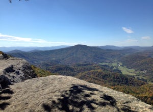
4.77.79 mi / 1296 ft gainIntro McAfee Knob is one of the most photographed and picturesque locations along the Appalachian Trail. Once you reach McAfee Knob, you'll have almost 270 degree views of the the Roanoke Valley to the East, Catawba Valley and North Mountain to the West, and Tinker Cliffs to the North. Due to t...Read more -
Eagle Rock, Virginia
Hike Roaring Run Falls
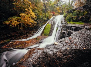
4.72.4 miFrom 615 (Craig Creek rd) you turn on to 621 (Roaring Run rd) and about mile down is a little gravel road on the left that you turn down. Go down this gravel road a little ways to reach the parking area, you'll know you're there when you see a big gate held up by two stone pillars. Once you are r...Read more -
Lexington, Virginia
House Mountain Trail
4.08.93 mi / 2733 ft gainHouse Mountain provides two amazing views via two out-and-back hikes, for a combined hike of 8.75 miles. If you’re short on energy and/or time, the 6 miles round trip to Big House Mountain is (in my opinion) the better of the two overlooks. Either way, keep in mind that this hike covers a great...Read more -
Vesuvius, Virginia
Photograph Statons Creek Falls
4.0To view this waterfall, hiking is not necessarily involved since the top of it is next to a small parking area along CR-633. If you feel like scrambling and bushwhacking, it’s possible to make your way down either side to small pools and cascades with a total drop of about 100 feet. The terrain i...Read more -
Vesuvius, Virginia
Cole Mountain Loop
4.85.89 mi / 1280 ft gainThe large open meadow at the summit of Cole Mountain is a unique and breathtaking experience that is worth the 5.8 mile hike. Cole Mountain is frequently referred to as Cold Mountain, but the official name listed by the United States Geological Survey is the former. This hike is in the George W...Read more -
Amherst, Virginia
Mount Pleasant Loop
4.65.98 mi / 1427 ft gainFrom the Mount Pleasant Parking Area, take the blue blazed Pompey Mountain Trail that is just beyond the horse gate. As it's a loop, you can start at either entrance, but I prefer heading left to get the longer leg of the hike before the summit (always better to have an easy journey down in the a...Read more -
Catawba, Virginia
Virginia Triple Crown
5.029.24 mi / 5531 ft gainThe Virginia Triple Crown is a combination of three of the most spectacular and popular hikes in the region. It combines the Dragon’s Tooth, McAfee’s Knob, and Tinker Cliffs hikes into one long multi-day hike along the Appalachian Trail. It makes for an excellent 2 day backpacking trip, with many...Read more -
Catawba, Virginia
Dragon's Tooth Trail
4.94.44 mi / 1394 ft gainFrom I-81: Exit 140 and take Highway 311 north for 11 miles towards New Castle. Dragon’s Tooth parking lot is on the left, just past Catawba Grocery. LAT 37.3787 LONG -80.1563 Ready to tackle the Dragon? This 4.6 mile, out and back, trail provides one with a true hiking experience. The hike wil...Read more -
Montebello, Virginia
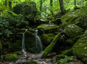
Hike to Wigwam Falls
2.7The Yankee Horse Ridge Parking Area is located at milepost 34.4 on the Blue Ridge Parkway. From the parking area, follow the rock steps to the railroad tracks and turn right. Follow the tracks the stream and turn left. Proceed on the path to the bridge in front of the 30 ft. waterfall.Read more -
Rockbridge Baths, Virginia
Fly Fish Goshen Pass
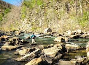
5.0The fly fishing on the Maury River is one of a kind through the Goshen Pass. The Pass is littered with huge boulders, which actually makes it possible to fish without waders, although it's much easier and more enjoyable with waders.From Lexington, VA, take Route 39 towards Goshen for approximatel...Read more -
Rockbridge Baths, Virginia
Rock Climb at Goshen Pass
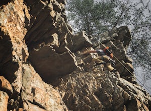
5.0Goshen Pass is a beautiful area for kayaking and fishing in Bath County, Virginia near Lexington. But not as well known is the fact that there are a few places that are great for rock climbing. You'll want to park at the swinging bridge which is two miles past the picnic area on route 39 once you...Read more -
Tyro, Virginia
Spy Rock via Cash Hollow
4.95.71 mi / 1191 ft gainThe hike is part of the George Washington National Forest, and can easily be combined with nearby Crabtree Falls (300ft cascading waterfall with a hike to the top). The entire trip is 5.7 miles, and there are nice campsites at the base of the summit (no water source) if you want to add on this pr...Read more

