Ivins, Utah
Looking for the best camping in Ivins? We've got you covered with the top trails, trips, hiking, backpacking, camping and more around Ivins. The detailed guides, photos, and reviews are all submitted by the Outbound community.
Top Camping Spots in and near Ivins
-
St. George, Utah
Running Chuckwalla
5.0The Chuckwalla Trailhead is part of the Red Cliffs Desert Reserve and provides beautiful and easy to to access running, mountain biking and climbing right outside of St. George Utah.To access the trailhead follow Bluff St. north toward Dameron Valley. Continue straight through the light at Snow C...Read more -
St. George, Utah
Climbing in Moe's Valley
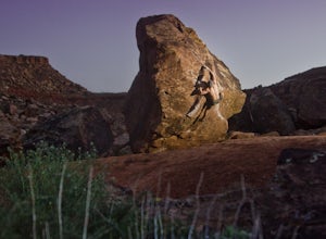
5.0Moe's Valley, UT is a hidden climbing paradise found in southern Utah. It's located just minutes outside of St. George, Utah. For a long time, this world-class bouldering area stayed relatively unknown except to climbing developers and local climbers. Over the years it has grown tremendously in p...Read more -
Washington County, Utah
Rock Climbing St. George Utah
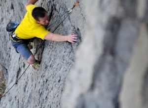
The Utah Hills areas of climbing are mostly limestone. Some of the best quality rock in the country. There are many areas here that are still being developed. The climbing style is sport climbing and the skill level needed is from beginner to expert, but to enjoy the area to its fullest interme...Read more -
Washington, Utah
Camping at Yant Flat
5.02.6 mi / 500 ft gainThough only a few miles from civilization as a bird flies, this trailhead is only accessible via a dirt road (that can be quite bumpy - high clearance vehicles recommended though I did it in a car). Given the condition of the road, drive time can be 45 minutes from St George, Utah. The road is ...Read more -
Hurricane, Utah
Red Cliffs Recreation Nature Trail
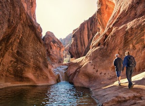
4.51.39 mi / 266 ft gainHike along streams that run through red sandstone - the blue water makes a fun contrast against the red rocks and sand. To get to the trailhead, drive to the Red Cliffs Campground about 20 minutes north of St. George. There is a small fee to park or camp at the campground. This trail starts in ...Read more -
Toquerville, Utah
Toquerville Falls
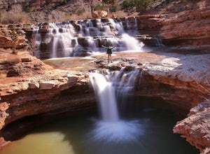
4.811.75 mi / 2044 ft gainToquerville Falls is a hidden waterfall nearby a small town named Toquerville. The road is rugged - saying rugged is kind of an understatement. Medium or high profile 4x4 is recommended. I drove a Toyota FJ Cruiser and it took me about half an hour to get there from Toquerville. The picture doesn...Read more -
Hurricane, Utah
Camp at Little Creek Mesa
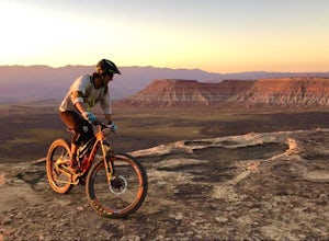
5.0Experience solitude and beauty at Little Creek Mesa Utah. When you get there, grab a campsite, and go for an evening mountain bike ride along the rim of the mesa and see breathtaking views of the valley below as the sun sets. Little Creek Mesa is located 22 miles from Hurricane, Utah and only 8 ...Read more -
Hurricane, Utah
Running Windmill Trail
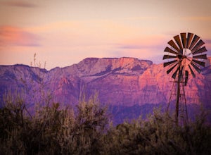
8 miWindmill trail and trailhead sits just down the road from Gooseberry Mesa Trailhead in Apple Valley, Utah. Head out on this figure-8 loop for as long as you want. If you're smart, you'll bring your MTB, and you can ride the singletrack once you're done getting your run in.This is also a great spo...Read more -
Virgin, Utah
Bike "Holy Guacamole" Outside of Zion NP
4.011 mi / 600 ft gainThis incredibly scenic ride is just out of Zion National Park and is a great place to escape the tourists. The ride starts at the end of Dalton Wash Rd just off of Route 9. High clearance vehicles are recommended and one should not attempt to drive this road in wet conditions. If you are having t...Read more -
Virgin, Utah
Camp on Dalton Wash Road
5.00.5 mi / 500 ft gainZion National Park. Truly one of the beauties of the American Southwest. With red walls and orange sunsets, Zion is a must-see. However, during the busy season of the parks, finding a campsite that hasn't been snagged can be difficult. That's why I'd suggest looking for a quieter, equally as beau...Read more -
New Harmony, Utah
Backpack the La Verkin Creek Trail
5.014 mi / 1200 ft gainI've visited Zion National Park twice this year and the experience between the two visitations were like night and day. Zion National Park is by no means a secret, and for good reason. Hikes such as Angels Landing, and the Narrows are locations which are sought after by every outdoorsman and novi...Read more -
New Harmony, Utah
Kolob Arch
4.713.86 miIn the lesser traveled area of Zion National Park sits Kolob Arch, a sandstone arch high up on a cliff tucked back in the canyon. To get to Kolob Arch take exit 40 on I-15 in Utah. You'll see a Zion National Park Visitor's Center. Here you can fill up on water, use the bathroom, and get a map to...Read more -
New Harmony, Utah
Backpack Kolob Canyons, Zion NP
5.016 mi / 1000 ft gainOverview Starting at Lee Pass trailhead the trail descends down to run alongside the Timber Creek, past the open finger canyons of the nearby cliffs. At roughly mile 3 the trail will bend slowly to the left and climb up before descending again to run upstream and alongside La Verkin creek. Cam...Read more -
New Harmony, Utah
Trans-Zion Trek, Zion NP
5.0100.6 miThe following adventure guide for the Trans-Zion Trek will actually consist of six separate trails. The trails listed below are listed in order, going West to East. If the individual trail adventure is composed on the site as going east to west, it will be indicated that the reverse hike will be...Read more -
Hurricane, Utah
Camp on Wire Mesa
5.0Wire Mesa off the Smithsonian Butte Backcountry Byway is a fantastic place to camp in southeastern Utah even if you do not plan on visiting Zion, just a few miles to the north. There several backcountry campsites on the Mesa, with the northwestern-most site giving the best views overlooking the V...Read more -
Rockville, Utah
Camp off the Smithsonian Butte Backcountry Byway
5.09.5 mi / 800 ft gainSmithsonian Butte Backcountry Byway is gorgeous 9.5 mile road that runs between Rockville near the entrance to Zion National Park and Apple Valley UT, and affords excellent places to camp & boondock *as long* as it is 0.5 miles from the road itself (and there are numerous turn offs). To get ...Read more

