Heber City, Utah
Looking for the best hiking in Heber City? We've got you covered with the top trails, trips, hiking, backpacking, camping and more around Heber City. The detailed guides, photos, and reviews are all submitted by the Outbound community.
Top Hiking Spots in and near Heber City
-
Saratoga Springs, Utah
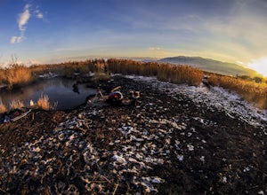
Saratoga Hot Springs
3.30.7 mi / 46 ft gainAwesome all year round, but one of the best places to chill out during winter. The water is just hot enough to feel amazing and escape from the cold. This place is public and not supervised. It does close from 10pm-6am and police have been known to pass by and enforce it. Pulling in to the parki...Read more -
Salt Lake City, Utah
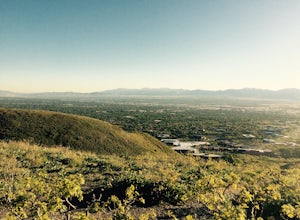
Little Mountain in Emigration Canyon
4.34 mi / 440 ft gainJust off of Highway 80, head up Emigration Canyon Road to the trailhead. There is a large parking area on the opposite side of the road from the trailhead. The parking area comes equipped with a bathroom if you need one. To get started, cross the road and start heading uphill. Keep in mind that...Read more -
Kamas, Utah
Hike Bald Mountain in the Uintas
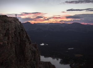
4.54 mi / 1250 ft gainBald Mountain is one of the most popular hikes in the Uintas, so get an early start if you want to beat the crowds. Those willing to hike in before dawn will be rewarded with an unforgettable sunrise at the summit. I HIGHLY recommend this as a sunrise hike. The trail starts out with steep switchb...Read more -
Kamas, Utah
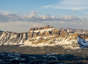
Photograph Bald Mountain in Utah
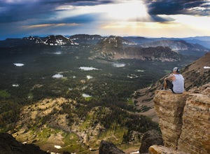
Bald Mountain is a 12,000' peak in the Uintas, and of the most popular hikes in the Uinta Mountains of Utah. If you're looking for more details on the hike, check out the adventure Hike Bald Mountain in the Uintas. Not only is it incredible to photograph from the top, with panoramic views of doze...Read more -
Kamas, Utah
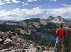
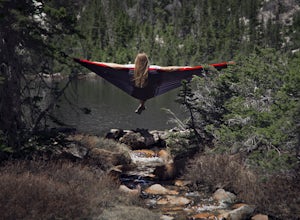
Backpack to Notch Lake
5.04.6 mi / -600 ft gainThe hike to Notch Lake begins at the Bald Mountain trailhead. You'll need to display a recreation pass in your vehicle to park at the trailhead. You can purchase a pass for $6 at the fee station entering the forest boundary (east of Kamas) or at the Forest Service office right in Kamas. Take the ...Read more -
Salt Lake City, Utah
Parley's Historic Nature Park Trail Loop
3.02 mi / 135 ft gainParley's Historic Nature Park Trail Loop, located in Salt Lake City, Utah, is a well-known hiking trail. This 2-mile loop trail is rated as moderate, making it suitable for hikers with some experience. The trail is primarily used for hiking, walking, and nature trips and is accessible year-round....Read more -
Hanna, Utah
Explore Grandaddy Basin
5.0Grandaddy Lake is the largest lake in the High Unitas. While Grandaddy Lake can have plenty of hikers, there are over twenty lakes within a two-hour hike within the Grandaddy Basin. Most hikers don’t go beyond Grandaddy lake, making the area a fantastic area to explore and camp. Elevation in the ...Read more -
Salt Lake City, Utah
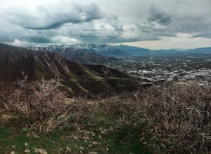
Hike Jacks Mountain
4.02.4 mi / 1300 ft gainNamed for a toddler who died of Lukemia in 1995, Jacks Mountain is a beautiful place to sit above the valley and contemplate mortality. On the peak, you’ll find a couple mailboxes containing heartfelt notes from hundreds of hikers throughout the years. It’s the kind of place that restores your fa...Read more -
Salt Lake City, Utah
Explore Big Mountain Pass
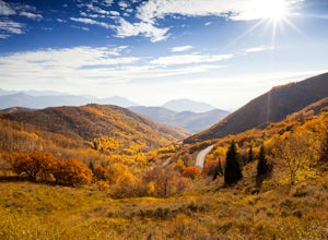
5.01 miFamous for being the route of the Mormon Pioneers who crossed this pass on their way into the Salt Lake Valley, Big Mountain Pass is also a beautiful area to take in the fall colors. You can access this road (Utah State Route 65) from Emmigration Canyon or Parley's Canyon, the same way you would ...Read more -
Hanna, Utah
Hike to Cuberant Lake
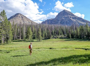
6 mi / 1066 ft gainThe hike to Cuberant Lake is 3-miles with a couple of steeper sections, but for the most part, it is a flat hike. From the Pass Lake Trailhead, you will head west on the Lofty Lake Loop Trail. On this part of the trail, you pass through meadows with Bald and Reid Peaks in the background, which is...Read more -
Hanna, Utah
Hike the Lofty Lake Loop Trail
4.54.2 mi / 935 ft gainLofty Lake Loop Trail is located in the High Uintas near Kamas, Utah. The trail can be found right off the Mirror Lake Scenic Byway about 32 miles east of Kamas and starts at the Pass Lake Trailhead. This is a fairly mellow trail with some areas of good elevation gain, enough to get your heart w...Read more -
Salt Lake City, Utah
Hike or Run Mount Wire
3.74.5 mi / 2082 ft gainThis 4.5 out-and-back trail starts just south of the Natural History Museum at the University of Utah. Park in the museum parking lot and walk up the stairs to the Bonneville Shoreline Trail. Then head south along the BST for a few minutes until you reach a big yellow sign with 174 on it. Turn le...Read more -
Salt Lake City, Utah
Hike the Living Room
4.42.5 mi / 1000 ft gainBecause if its proximity to downtown Salt Lake, this is a great quick hike to do after work. Although it's short, it is fairly steep, climbing nearly 1000 feet in 1.25 miles. However, most people can do it without too much difficulty. This is a good family hike and allows dogs on leashes. Due to ...Read more -
Salt Lake City, Utah
Hike or Trail Run Mount Van Cott
4.03 mi / 1400 ft gainThere are many different trailheads that will take you to the top of Mount Van Cott, but the main trailhead is up Red Butte Canyon. Drive up the canyon until you reach the parking lot where the canyon gate is blocking the road. After parking your car here, head up the dirt road on foot until you ...Read more -
Evanston, Utah
Hike to Hayden Peak in the High Uintas
3.63 mi / 2053 ft gainHayden Peak is by all means the monarch mountain of the Mirror Lake Highway. By that, I mean that Hayden Peak is easily the most rugged and impressive peak that can be viewed from the road. Driving over Bald Mountain Pass towards Evanston, WY, this peak looks amazing. There are few mountains out ...Read more -
Oakley, Utah
Backpack to Cutthroat Lake
4 mi / 280 ft gainThere isn't a trail to Cutthroat Lake so for a portion of the hike will be cross-country. I highly recommend bringing a GPS but with intermediate route-finding skills you should be able to find your way. We used the Gaia GPS app and this made the hike much easier. The distance depends on the r...Read more

