Texas
Looking for the best photography in Texas? We've got you covered with the top trails, trips, hiking, backpacking, camping and more around Texas. The detailed guides, photos, and reviews are all submitted by the Outbound community.
Top Photography Spots in and near Texas
-
Austin, Texas
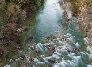
Hike Lost Trail
1.5 mi / 52 ft gainLost Trail is a 1.3 mile loop hike through the Upper Bull Creek Greenbelt in northwest Austin, Texas. The trail features a beautiful waterfall, an abundance of wildlife and wildflowers, several benches, and many beautiful scenes. During the wet season, the creek fills up and flows very nicely. T...Read more -
Austin, Texas
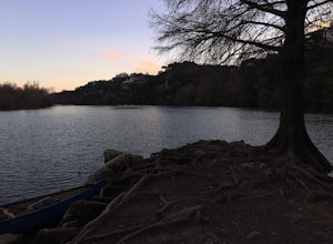
Take a Stroll around Red Bud Isle
1 mi / 0 ft gainThis small isle is a nice feature of the section of the Colorado River that flows through Austin. The isle is pretty small and is a good scenic location for a quick 1-2 hour outing. All the trails are pretty flat and easy to walk. Definitely worth checking out if you are looking for a nice park i...Read more -
Niederwald, Texas
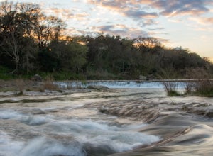
Explore the Five Mile Dam Park
Located about 6 miles from downtown San Marcos, the Five Mile Dam Park is a popular destination for swimming, boating, and other outdoor activities. It has a large flat field for playing soccer as well as many bathrooms. The Blanco River flows through the park and as the name implies, there is a ...Read more -
Ingram, Texas
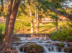
Swim at Schumacher Crossing
Schumacher Crossing is located just west of Ingram, Texas, and about 77 miles west of San Antonio. It's an extremely popular swimming hole on the Guadalupe River during the summer season. It has several small waterfalls that flow into a large pond. Parking is easily accessible, however there are ...Read more -
Austin, Texas
Hike the Violet Crown Trail: 360 to 290 Trailhead
1.8 mi / 239 ft gainThe Violet Crown Trail: 360 Trailhead to 290 trail is a 1.8 mile point-to-point hike that stretches from Loop 360 to Highway 290. Only a portion of the trail follows alongside Barton Creek before heading south towards HWY 290 while the creek veers off to the west. Dogs are more than welcome as lo...Read more -
Big Bend National Park, Texas
Backpack to the Southeast Rim of the Chisos
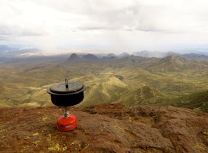
14 mi / 1600 ft gainThis 14 mile loop provides incredible views of the Chisos mountains. This hike can be done in a day, but to really take in the scenery, stay overnight and experience the incredible cliffs overlooking Mexico. You can add on an extra 2 mile by doing the Emory Peak trail which gets you to the top o...Read more -
Glen Rose, Texas
Equestrian Blue Hole And Limestone Ledge Loop
5.03.03 mi / 302 ft gainEquestrian, Blue Hole and Limestone Ledge Loop is a 3 mile loop hike that takes you by a river located near Glen Rose, TX. This is a 111 foot elevation, loop style hike that is great for all skill and experience level hikers. Some parts of the hike are paved while other parts are dirt- at times t...Read more -
Austin, Texas
Hike Mary Moore Searight Park Trail
2.1 mi / 65 ft gainThe outer loop trail at Mary Moore Searight park is 2.1 miles and is interconnected by several smaller trails, which can be used to shorten the length of the hike. The trail is relatively easy with very few inclines and declines. The trail is mostly very thin crushed gravel and great for an easy ...Read more -
Austin, Texas
Hike Hill of Life Hiking Trail
4.53.1 mi / 328 ft gainThe Hill of Life hiking trail is an out-and-back hiking trail around 3 miles long total. Parking is parallel parking on the street and can be found in the neighborhood where the trailhead is located. The trail begins with a half mile descent down a very rocky and gravel-ridden trail. The descent ...Read more -
Austin, Texas
Hike Barton Greenbelt Trail Via Barton Creek Plaza
6.6 mi / 380 ft gainThe Barton Greenbelt Trail via Barton Creek Plaza is a 6.6 mile out-and-back hike located within the Barton Creek Greenbelt. This trail follows along the creek and features a couple prominent waterfalls that also serve as popular swimming holes in the summer months. Depending on the rainfall for ...Read more -
Austin, Texas
Catch a Sunrise at the Look Out Point
0.1 miThis look out point is less than a quarter mile hike and is located within the Rollingwood neighborhood, just west of Loop 1 (Mopac Expressway). It faces east and is a great location for catching sunrise. The trail to the overlook is crushed gravel, but is very flat. This overlook is kid- and dog...Read more -
Karnack, Texas
Caddo Lake State Park Canoe Trails
1.6 mi / 219 ft gainCaddo Lake is located on the border between Texas and Louisiana. The Canoe Trail is an intermediate 1.6 mile loop trail within Caddo Lake State Park that takes you through the bald cypress trees of Caddo Lake and at one point even meets the water edge. The trail is very moderately hiked and the o...Read more -
Austin, Texas
University of Texas Walk
2.99 mi / 197 ft gainThe University of Texas Walk is about a 3-mile loop trail around the University of Texas at Austin. Beginning at the LBJ Presidential Library, the trail loops around all of UT's most prominent landmarks, including the LBJ fountain, the Blanton Museum of Art and of course the renowned school tower...Read more -
Taylor, Texas
Granger Lake Trail
7.54 mi / 400 ft gainGranger Lake Trail is an out-and-back trail that starts off in Taylor Park in Granger Texas. At the end of the trail are primitive campsites, accessible by hike or by boat. This trail is used by hikers and bikers and dog-friendly on leash. Backcountry campground reservations for Fox Bottom Camp A...Read more -
Richards, Texas
Hike the Lone Star Hiking Trail: Trailhead 1 to Lake Conroe
20 mi / 450 ft gainThe Trail Trailhead #1 of the Lone Star Hiking Trail puts you in an isolated part of East Texas where you can truly experience nature and peace. The trails are marked with squares and are normally well kept and clean, but you will have to navigate over fallen trees and through muddy creek bottoms...Read more -
Vanderpool, Texas
Hike Lost Maples East And West Canyon
5.011.3 mi / 1 ft gainThe Lost Maples East and West Canyon trail is an 11.30 mile out-and-back hike located in Lost Maples State Park, right outside of Vanderpool, Texas. The trail provides scenic overlooks, beautiful maple trees, and an abundance of nature. The trail, along with the park, is most known for its beauti...Read more


