Texas
Looking for the best photography in Texas? We've got you covered with the top trails, trips, hiking, backpacking, camping and more around Texas. The detailed guides, photos, and reviews are all submitted by the Outbound community.
Top Photography Spots in and near Texas
-
Vanderpool, Texas
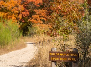
Hike Lost Maples East And West Canyon
5.011.3 mi / 1 ft gainThe Lost Maples East and West Canyon trail is an 11.30 mile out-and-back hike located in Lost Maples State Park, right outside of Vanderpool, Texas. The trail provides scenic overlooks, beautiful maple trees, and an abundance of nature. The trail, along with the park, is most known for its beauti...Read more -
1300 East Williams Road, Texas
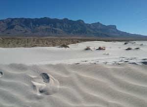
Hike the Salt Basin Dunes Trail
4.03 mi / 200 ft gainAfter the drive from Dell City park at the parking lot at the end of Williams rd. Start walking the trail towards the dunes. It is a 3 mile round trip. You can hike around the dunes and enjoy the views of the Guadalupe Mountains and the surrounding dunes . Best time to visit is during the cooler ...Read more -
Culberson County, Texas
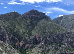
Hunter Peak Loop
8.13 mi / 2546 ft gainFrom Pine Springs Trailhead follow Tejas Trail (3.7 miles), then take the Bowl Trail counter-clockwise (.9) until the Hunter Mountain spur trail (.1 each way). Then it's back on the Bowl Trail until you reach the start of the Bear Canyon Trail (.5). Descend along switchbacks (1.8 miles) and take ...Read more -
El Paso, Texas
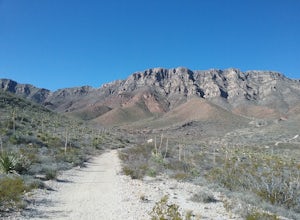
Hike the El Paso Tin Mine Trail
6.6 mi / 1023 ft gainStarted our hike from Chuck Heinrich park and entered the State Park. Hike along the Old Tin Mine Road to the junction of Scenic Road trail. There are many species of cacti and desert plants along the trail. Hiked up the side of the mountain to the site of the old tin mines. The climb is somewh...Read more -
Fort Davis, Texas
Davis Mountains Scenic Loop
5.075.55 mi / 4039 ft gainDrove from the intersection of I-10 and Texas 118 to Fort Davis . Stopped at the Davis mountains State Park. Visited the Fort Davis National Historic site, the Chihuahua Desert Nature Center and had a good dinner in Fort Davis. Continued on Texas 166 to Kent passing by some very impressive mounta...Read more -
Fort Davis, Texas
Fort Davis National Historic Site
First took some time to visit the historic buildings and exhibits. After that I toured the grounds and enjoyed the sights surrounding the fort. I also took the time to hike 3 of the trails located within the fort boundaries. Very beautiful views of the mountains and of the wildflowers.Read more -
Culberson County, Texas
Smith Springs Loop
5.02.49 mi / 400 ft gainParked at the trail head of Frijoles Ranch. Started my hike on the paved trail to Manzanita springs. After that the trail winds trough desert landscape with numerous desert wildflowers in the early fall, The trail ends up at the base of the mountains where I saw the springs. Returned to the park...Read more -
1700 McKinley Avenue, Texas
Hike the Ranger Peak and Directissimo Trails
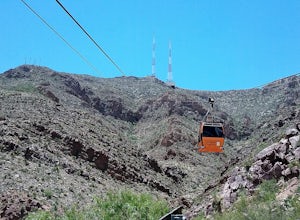
5.02.6 mi / 1230 ft gainTake the Aerial Tramway up to the top. The ride up is short but scenic. Once on the platform, hike the Ranger Peak Trail which affords you good views of the El Paso area and the Franklin Mountains. Return to the parking lot below via the Directissimo trail, which is a rather steep and difficult t...Read more -
El Paso, Texas
Hike the Agave Loop Trail
1.9 mi / 370 ft gainStart your hike at the West Cottonwood trail parking lot. The ascent on the trail is not too difficult. First the trail will take you to the top of the Sneed Cory with good views of the State Park. After that, continue up the mountainside, which has with lots of sotols and agaves as well as many ...Read more -
Amarillo, Texas
Explore the Route 66 Historic District of Amarillo
Just off I-40, this charming area is worth stretching your legs and working the camera lenses. I took Georgia Street a few minutes northward to Sixth Avenue and easily found parking near several welcoming shops. I certainly perused the local fares for merch and memorabilia, as there were so many ...Read more -
Austin, Texas
Hike Main Trail to Meadow Loop to Taylor Creek Loop
0.6 mi / 55 ft gainThe Main Trail to Meadow Loop to Taylor Creek Loop is a 0.6 loop hike found within Mayfield Park just west of downtown Austin. The trail is completely shaded and is a relatively easy hike. The trail does descend down stairs in some spots, but nothing too significant. This is a great family trail ...Read more -
Austin, Texas
Hike the Bull Creek Loop
4 mi / 100 ft gainPart park, part preserve, St. Edwards Park is not too well known, even among long time Austin residents. It's hidden away on old Spicewood Springs Road, beyond the Loop 360 boundary beyond which most people do not venture. The park consists of two parts, one park and one preserve. The portion of ...Read more -
El Paso, Texas
Hike the Hueco Tanks Nature Trail
1.5 miThe nature trail is an easy trail to walk and gives you very good views of the rock formations. To see the pictographs you will have to hike up the North Mountains to get the best views. The West and East Mountains are only accessible by guided tours. During the summer and fall when there is wate...Read more -
El Paso, Texas
Hike to West Cottonwood Springs Trail
1.6 mi / 781 ft gainStart your hike from the west cottonwood trail parking lot and ascend through some nice desert vegetation. The trail is rather rocky and has lots of loose rocks so step carefully. You'll pass by the old copper mine and then proceeded up the steep arroyo to the spring and cottonwood trees for very...Read more -
El Paso, Texas
Mundy's Gap Trail
3.36 mi / 1161 ft gainYou can start hiking the trail either from the West side or East side. I started on the West side at the Agave Trail. The climb up the mountain is not too hard and offers good views of the mountains. There are some very interesting rock formations on the east side. You can continue the trail to t...Read more -
El Paso, Texas
Hike the Tom Mays Trail
2.6 mi / 502 ft gainHike this trail from the entrance of the State Park all the way to the parking lot of the Schaeffer Shuffle Trail. There are good views of the Franklin Mountains and lots of cacti and wildflowers to enjoy. This trail intersects with the Aztec Cave Trail and the Mundy Gap Trail.Read more

