Marble Falls, Texas
Top Spots in and near Marble Falls
-
Georgetown, Texas
Hike San Gabriel River From Blue Hole
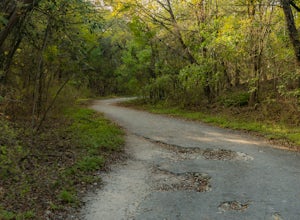
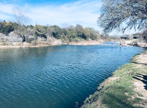
10.4 mi / 380 ft gainSan Gabriel River from Blue Hole is a 10.4 mile out and back hike that follows along the North San Gabriel River in Georgetown, Texas. The trail is moderately trafficked. A large majority of the trail is paved, shaded, and well-maintained. It provides beautiful views of the river with an abundan...Read more -
Georgetown, Texas
Blue Hole in Georgetown
5.0Head to the location pin and you will find free parking. Get out and head north on S Rock Street and you will come across a wide sidewalk that runs parallel with the South Fork San Gabriel River. Look East and you will see the Blue Hole about 600ft away. The waterfall has 3 levels. The first leve...Read more -
Lometa, Texas
Gorman Falls
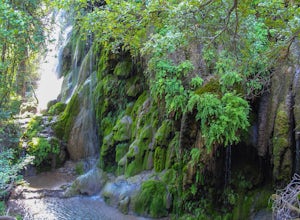
4.03.23 mi / 427 ft gainGorman Falls is truly a gem of the Texas Hill Country. This waterfall is situated in Colorado Bend State Park, one of the most diverse state parks in the area, and is what is considered a "living" waterfall. While most waterfalls will get smaller over time, Gorman Falls gets bigger. This is due t...Read more -
Austin, Texas
Twin Falls and Sculpture Falls via Barton Creek Greenbelt Trail
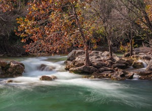
3.03.23 mi / 141 ft gainThis hike is about 3.2 miles in total and is an out-and-back trail found within the Barton Creek Greenbelt stretch. The trail follows along the Barton Creek and is popularly known for the two major waterfalls it entails: Twin Falls and Sculpture Falls, which are very popular swimming destinations...Read more -
Austin, Texas
Three Falls Hike
7.35 mi / 600 ft gainThe Three Falls Hike is a 7.35 mile out and back hike located in the Barton Creek Greenbelt in Austin, Texas. The hike is heavily trafficked. The trail takes you past three waterfalls, which during the summer time serve as extremely popular swimming holes. Please note that the flow of the waterf...Read more -
Travis County, Texas
Hike Violet Crown Trail: Zilker to 360 Trailhead
3.03.7 mi / 282 ft gainThe Violet Crown Trail: Zilker to 360 is 3.7 mile out-and-back stretch through the Barton Creek Greenbelt. The trail begins in Zilker Park and follows Barton Creek all the way south to Loop 360. Parking can be found at Zilker Park. Though on weekends and during the summer time, the park is usuall...Read more -
Austin, Texas
Catch a Sunrise at the Look Out Point
0.1 miThis look out point is less than a quarter mile hike and is located within the Rollingwood neighborhood, just west of Loop 1 (Mopac Expressway). It faces east and is a great location for catching sunrise. The trail to the overlook is crushed gravel, but is very flat. This overlook is kid- and dog...Read more -
Austin, Texas
Rock Climb at Gus Fruh
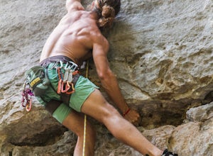
0.5 mi / 50 ft gainNOTICE:For this activity it is necessary to have someone with lead climbing and belaying expertise. There is a wide range of difficulties on the routes. A guide that has climbed at this wall before is recommended. GETTING THERE:You can enter Gus Fruh from a couple of different points starting in ...Read more -
Austin, Texas
Hike Barton Greenbelt Trail Via Barton Creek Plaza
6.6 mi / 380 ft gainThe Barton Greenbelt Trail via Barton Creek Plaza is a 6.6 mile out-and-back hike located within the Barton Creek Greenbelt. This trail follows along the creek and features a couple prominent waterfalls that also serve as popular swimming holes in the summer months. Depending on the rainfall for ...Read more -
Austin, Texas
Swim at Gus Fruh
4.00.26 mi / 79 ft gainThe trailheads are located in neighborhoods and parking isn't really too much of an issue. The shortest entrance is located off Barton Hills Dr. A quick google search and you will find it and the labeled trail. You walk down into the Barton Creek Green Belt and your spirits are uplifted. That cra...Read more -
Austin, Texas
Hike the Violet Crown Trail: 360 to 290 Trailhead
1.8 mi / 239 ft gainThe Violet Crown Trail: 360 Trailhead to 290 trail is a 1.8 mile point-to-point hike that stretches from Loop 360 to Highway 290. Only a portion of the trail follows alongside Barton Creek before heading south towards HWY 290 while the creek veers off to the west. Dogs are more than welcome as lo...Read more -
Barton Creek Greenbelt: Trail 11, Texas
Barton Creek Greenbelt Trail via Spyglass Trailhead
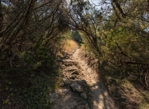
5.03.03 mi / 128 ft gainOutside of the fantastic job market, one of the most magical things about Austin is how quickly you can go from city life to being immersed in nature. Nearly every day, I take a quick jaunt down to the Barton Creek Greenbelt with my trusty companion, Sage the Chocolate Lab. We live within walking...Read more -
Austin, Texas
Hike the Shoal Creek Trail
5.05.47 mi / 173 ft gainThe Shoal Creek trail is located along the Shoal Creek Greenbelt which stretches the length of central/downtown Austin. It is a 5.4 mile out-and-back trail following along Shoal Creek. Much of the trail runs through residential area. And though it runs parallel to a creek, itis a city trail and n...Read more -
Austin, Texas
Paddle on Lady Bird Lake in Austin
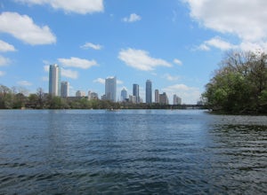
5.0Getting There: Lady Bird Lake is located just South of Downtown Austin. One of many ways to access Lady Bird Lake is from Zilker Metropolitan Park and Barton Springs Pool. Free parking is available in the park with direct access to Barton Creek. It is here, that you can launch your own person...Read more -
Austin, Texas
Swim in Barton Springs Pool
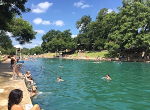
4.8Barton Springs Pool is a historical staple in the city of Austin. Located within Zilker Park, the location is easy to find and even has easy accessible parking. Now with that being said, it is recommended to arrive somewhat early in the day if you don't want to be resorted to fishing for a parkin...Read more -
Austin, Texas
Stephenson Preserve Loop
2.17 mi / 243 ft gainThe Stevenson Preserve Trail is a 1.5 mile loop hike located in South Austin. The outer trail makes a large loop around the entire park, however there are several interconnecting trails within the loop. This trail system is part of the Stephenson Preserve, which is also connected to the Longview ...Read more

